5122 Paw Paw Rd Cambridge, MD 21613
Estimated Value: $590,000 - $683,000
--
Bed
3
Baths
2,328
Sq Ft
$268/Sq Ft
Est. Value
About This Home
This home is located at 5122 Paw Paw Rd, Cambridge, MD 21613 and is currently estimated at $623,937, approximately $268 per square foot. 5122 Paw Paw Rd is a home located in Dorchester County with nearby schools including Maple Elementary School, Mace's Lane Middle School, and Cambridge-South Dorchester High School.
Ownership History
Date
Name
Owned For
Owner Type
Purchase Details
Closed on
Mar 2, 2020
Sold by
Davis Jacqueline M and Davis Edward W
Bought by
Davis Jacqueline M
Current Estimated Value
Home Financials for this Owner
Home Financials are based on the most recent Mortgage that was taken out on this home.
Original Mortgage
$240,000
Outstanding Balance
$212,149
Interest Rate
3.4%
Mortgage Type
New Conventional
Estimated Equity
$411,788
Purchase Details
Closed on
May 1, 1996
Sold by
Messemer Henry J and Messemer Ruth L
Bought by
Davis Edward W and Davis Jacqueline M
Purchase Details
Closed on
Nov 6, 1985
Sold by
Gorski Theodore P and Gorski Ann R
Bought by
Messemer Henry J and Messemer Ruth L
Purchase Details
Closed on
May 23, 1983
Sold by
Schuerholz Donna J
Bought by
Gorski Theodore P and Gorski Ann R
Create a Home Valuation Report for This Property
The Home Valuation Report is an in-depth analysis detailing your home's value as well as a comparison with similar homes in the area
Home Values in the Area
Average Home Value in this Area
Purchase History
| Date | Buyer | Sale Price | Title Company |
|---|---|---|---|
| Davis Jacqueline M | -- | Accommodation | |
| Davis Edward W | $194,000 | -- | |
| Messemer Henry J | $142,500 | -- | |
| Gorski Theodore P | $61,000 | -- |
Source: Public Records
Mortgage History
| Date | Status | Borrower | Loan Amount |
|---|---|---|---|
| Open | Davis Jacqueline M | $240,000 |
Source: Public Records
Tax History Compared to Growth
Tax History
| Year | Tax Paid | Tax Assessment Tax Assessment Total Assessment is a certain percentage of the fair market value that is determined by local assessors to be the total taxable value of land and additions on the property. | Land | Improvement |
|---|---|---|---|---|
| 2025 | $5,392 | $466,900 | $244,000 | $222,900 |
| 2024 | $4,789 | $446,267 | $0 | $0 |
| 2023 | $4,789 | $425,633 | $0 | $0 |
| 2022 | $9,127 | $405,000 | $244,000 | $161,000 |
| 2021 | $4,564 | $405,000 | $244,000 | $161,000 |
| 2020 | $4,564 | $405,000 | $244,000 | $161,000 |
| 2019 | $4,585 | $406,900 | $244,000 | $162,900 |
| 2018 | $4,563 | $404,367 | $0 | $0 |
| 2017 | $4,404 | $401,833 | $0 | $0 |
| 2016 | -- | $399,300 | $0 | $0 |
| 2015 | -- | $399,300 | $0 | $0 |
| 2014 | -- | $399,300 | $0 | $0 |
Source: Public Records
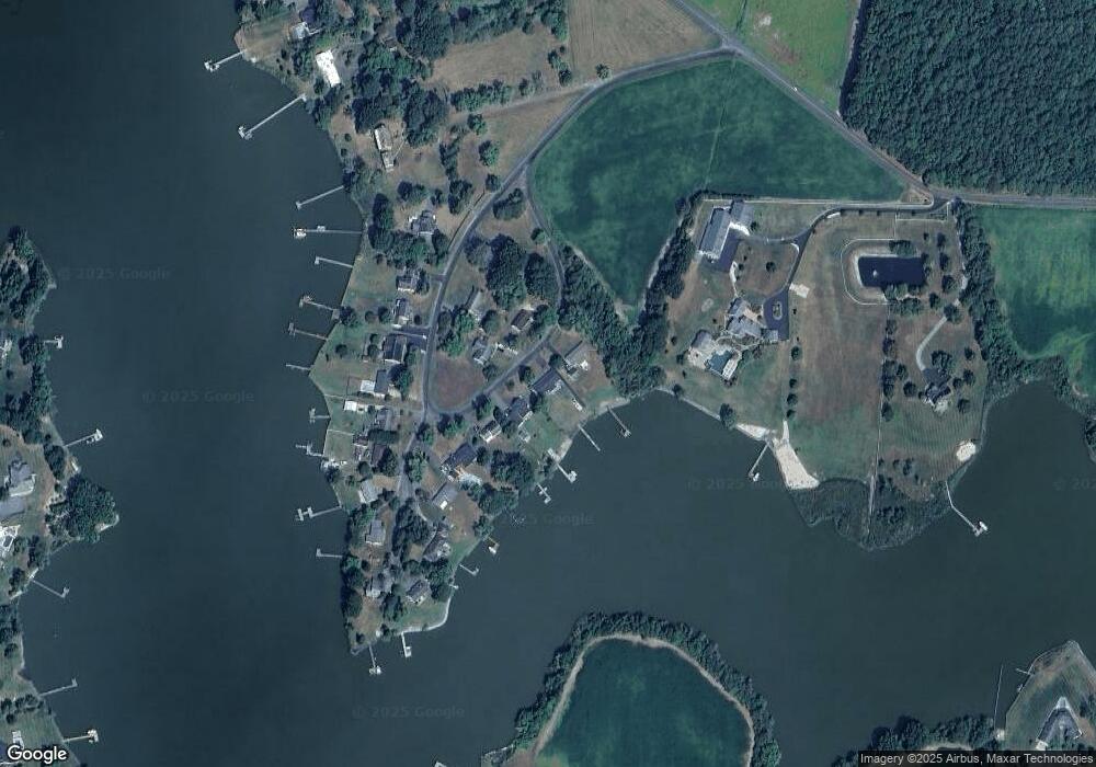
Map
Nearby Homes
- 5210 Wilson Rd
- 0 Silver Goose Rd Unit Lot WP001
- 2040 Dailsville Rd
- 4910 Gregory Rd
- 2191 Winterberry Ln
- 2189 Winterberry Ln
- 2212 Winterberry Ln
- 0 N S Dailsville Rd
- 1622 Town Point Rd
- 2365 Church Creek Rd
- 1701 Perseus Rd
- 5219 Heron Rd
- 5223 Heron Rd
- 5214 Heron Rd
- 5216 Heron Rd
- 5229 Heron Rd
- 5226 Heron Rd
- 1529 Deep Water Rd
- 2420 Cambridge Beltway
- 1609 Heliport Rd