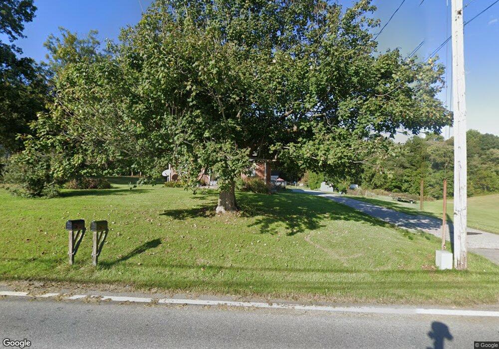
5124 Black Rock Rd Hampstead, MD 21074
Estimated Value: $437,029 - $492,000
--
Bed
2
Baths
1,754
Sq Ft
$261/Sq Ft
Est. Value
About This Home
This home is located at 5124 Black Rock Rd, Hampstead, MD 21074 and is currently estimated at $458,007, approximately $261 per square foot. 5124 Black Rock Rd is a home located in Baltimore County with nearby schools including Fifth District Elementary School, Hereford Middle School, and Hereford High School.
Ownership History
Date
Name
Owned For
Owner Type
Purchase Details
Closed on
Apr 10, 1995
Sold by
Esworthy William S
Bought by
Hyde Edward A
Current Estimated Value
Home Financials for this Owner
Home Financials are based on the most recent Mortgage that was taken out on this home.
Original Mortgage
$151,050
Interest Rate
8.66%
Create a Home Valuation Report for This Property
The Home Valuation Report is an in-depth analysis detailing your home's value as well as a comparison with similar homes in the area
Home Values in the Area
Average Home Value in this Area
Purchase History
| Date | Buyer | Sale Price | Title Company |
|---|---|---|---|
| Hyde Edward A | $159,000 | -- |
Source: Public Records
Mortgage History
| Date | Status | Borrower | Loan Amount |
|---|---|---|---|
| Closed | Hyde Edward A | $151,050 |
Source: Public Records
Tax History Compared to Growth
Tax History
| Year | Tax Paid | Tax Assessment Tax Assessment Total Assessment is a certain percentage of the fair market value that is determined by local assessors to be the total taxable value of land and additions on the property. | Land | Improvement |
|---|---|---|---|---|
| 2025 | $3,863 | $359,300 | $140,900 | $218,400 |
| 2024 | $3,863 | $349,333 | $0 | $0 |
| 2023 | $1,869 | $339,367 | $0 | $0 |
| 2022 | $3,568 | $329,400 | $134,500 | $194,900 |
| 2021 | $3,309 | $306,400 | $0 | $0 |
| 2020 | $3,309 | $283,400 | $0 | $0 |
| 2019 | $3,170 | $260,400 | $134,500 | $125,900 |
| 2018 | $3,050 | $249,533 | $0 | $0 |
| 2017 | $2,907 | $238,667 | $0 | $0 |
| 2016 | $2,382 | $227,800 | $0 | $0 |
| 2015 | $2,382 | $227,800 | $0 | $0 |
| 2014 | $2,382 | $227,800 | $0 | $0 |
Source: Public Records
Map
Nearby Homes
- 1124 Cedarbrook Rd
- 1208 Wynside Ln
- 1003 Scarlet Oak Ct Unit 1A
- 4703 Barbed Ct
- 4240 Crystal Ct Unit 3D
- 4230 Crystal Ct Unit 3C
- 613 Hanover Pike
- 0 Trenton Mill Rd Unit MDBC2117946
- 4138 Hillcrest Ave
- 920 N Houcksville Rd
- 1330 N Main St
- 0 Hanover Pike Unit MDCR2024542
- 4150 Sommerfield Dr
- 1151 Caton Rd
- 4131 Shanelle Ct
- 1410 N Main St
- 1368 Lare St
- 3836 Dakota Rd
- 3860 Normandy Dr Unit 1C
- 1175 Caton Rd
- 5130 Black Rock Rd
- 5109 Black Rock Rd Unit A
- 5109 Black Rock Rd
- 16134 Hanover Pike
- 5100 Black Rock Rd
- 5111 Black Rock Rd
- 4540 Black Rock Rd
- 5030 Black Rock Rd
- 4536 Black Rock Rd
- 4607 Brookview Dr
- 4612 Brookview Dr
- 5026 Black Rock Rd
- 4605 Brookview Dr
- 4530 Black Rock Rd
- 4608 Brookview Dr
- 4600 Legion Ln
- 4603 Brookview Dr
- 4606 Brookview Dr
- 1119 Cedarbrook Rd
- 1111 Cedarbrook Rd