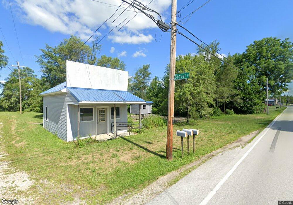
5124 Grover(cr297)st Vickery, OH 43464
Estimated Value: $102,500
2
Beds
1
Bath
630
Sq Ft
$163/Sq Ft
Est. Value
About This Home
This home is located at 5124 Grover(cr297)st, Vickery, OH 43464 and is currently priced at $102,500, approximately $162 per square foot. 5124 Grover(cr297)st is a home located in Sandusky County with nearby schools including Margaretta Elementary School and Margaretta High School.
Ownership History
Date
Name
Owned For
Owner Type
Purchase Details
Closed on
Aug 16, 2016
Sold by
21St Mortgaeg Corporation
Bought by
Spoerke Corey M
Current Estimated Value
Purchase Details
Closed on
Apr 22, 2016
Sold by
Meade Robert and Case #15Cv778
Bought by
21St Mortgage Corporation
Purchase Details
Closed on
Apr 13, 2016
Sold by
Meade Robert and Case #15Cv778
Bought by
21St Mortgage Corporation
Purchase Details
Closed on
Jul 25, 2012
Sold by
Moreno Jaime and Estate Of Georgia Graham
Bought by
Meade Robert
Purchase Details
Closed on
Jul 31, 1996
Sold by
Townsend Donald R
Bought by
Graham James and Graham Georgia
Purchase Details
Closed on
Feb 21, 1995
Sold by
Townsend Marilyn
Bought by
Graham James and Graham Georgia
Create a Home Valuation Report for This Property
The Home Valuation Report is an in-depth analysis detailing your home's value as well as a comparison with similar homes in the area
Home Values in the Area
Average Home Value in this Area
Purchase History
| Date | Buyer | Sale Price | Title Company |
|---|---|---|---|
| Spoerke Corey M | $30,000 | Tricoast Title | |
| 21St Mortgage Corporation | $16,000 | None Available | |
| 21St Mortgage Corporation | $17,334 | None Available | |
| Meade Robert | $31,800 | None Available | |
| Graham James | $4,500 | -- | |
| Graham James | $4,000 | -- |
Source: Public Records
Tax History Compared to Growth
Tax History
| Year | Tax Paid | Tax Assessment Tax Assessment Total Assessment is a certain percentage of the fair market value that is determined by local assessors to be the total taxable value of land and additions on the property. | Land | Improvement |
|---|---|---|---|---|
| 2024 | $1,762 | $44,560 | $12,500 | $32,060 |
| 2023 | $1,762 | $35,080 | $9,840 | $25,240 |
| 2022 | $1,524 | $35,080 | $9,840 | $25,240 |
| 2021 | $1,511 | $35,080 | $9,840 | $25,240 |
| 2020 | $1,566 | $34,200 | $9,210 | $24,990 |
| 2019 | $493 | $10,750 | $9,210 | $1,540 |
| 2018 | $518 | $10,750 | $9,210 | $1,540 |
| 2017 | $514 | $10,650 | $9,210 | $1,440 |
| 2016 | $503 | $10,650 | $9,210 | $1,440 |
| 2015 | $497 | $10,650 | $9,210 | $1,440 |
| 2014 | $657 | $13,090 | $10,080 | $3,010 |
| 2013 | $1,023 | $13,090 | $10,080 | $3,010 |
Source: Public Records
Map
Nearby Homes
- 1766 County Road 260 Elm St
- 0 County Rd 260 Rd Unit 5061556
- 710 N State Route 510
- 3850 County Road 231
- 5943 County Road 279
- 550 County Road 242
- 810 N Main St
- 0 Ohio 101
- 0 W Mcpherson Hwy
- 625 Ames St
- 0 Ames St
- 1270 W Mcpherson Hwy
- 1337 E Sr 20
- 761 N Woodland Ave
- 117 Nelson St
- 118 E Buckeye St
- 216 Grand Ave Unit 216
- 0 Durnwald Dr
- CR 260 89.6 acres Durnwald Dr
- 248 Ott St
- 5124 Grover (Cr 297) St
- 1497 County Road 268
- 1485 County Road 268
- 1507 County Road 268
- 1491 County Road 268
- 1517 County Road 268
- 1477 County Road 268
- 1467 Cr 268
- 1496 County Road 268
- 1473 County Road 268
- 1533 County Road 268
- 1537 County Road 268
- 1484 County Road 268
- 1467 County Road 268
- 1541 County Road 268
- 1478 County Road 268
- 1534 County Road 268
- 1528 County Road 268
- 1462 County Road 268
- 5966 Cr 283 Rd