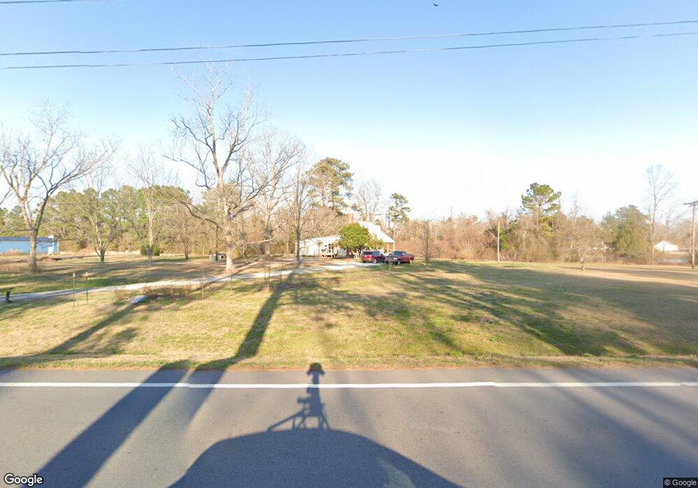
5124 Highway 101 Newport, NC 28570
Estimated Value: $122,000 - $291,000
3
Beds
1
Bath
1,113
Sq Ft
$209/Sq Ft
Est. Value
About This Home
This home is located at 5124 Highway 101, Newport, NC 28570 and is currently estimated at $232,768, approximately $209 per square foot. 5124 Highway 101 is a home located in Carteret County with nearby schools including Beaufort Elementary School, Beaufort Middle School, and East Carteret High School.
Ownership History
Date
Name
Owned For
Owner Type
Purchase Details
Closed on
Jan 15, 2020
Sold by
Smith Joshua Kent and Smith Ashton Vassallo
Bought by
Daniel Belinda and Daniel Albert N
Current Estimated Value
Purchase Details
Closed on
Mar 23, 2018
Sold by
Hardesty Norwood Macon
Bought by
Smith Joshua Kent
Purchase Details
Closed on
Jan 20, 2017
Sold by
Hardesty John and Hardesty Rachel
Bought by
Hardesty Norwood Macon
Purchase Details
Closed on
Apr 20, 2016
Sold by
Hardesty Norwood Macon
Bought by
Hardesty John and Hardesty Rachel
Create a Home Valuation Report for This Property
The Home Valuation Report is an in-depth analysis detailing your home's value as well as a comparison with similar homes in the area
Home Values in the Area
Average Home Value in this Area
Purchase History
| Date | Buyer | Sale Price | Title Company |
|---|---|---|---|
| Daniel Belinda | $57,000 | None Available | |
| Smith Joshua Kent | $53,000 | None Available | |
| Hardesty Norwood Macon | -- | None Available | |
| Hardesty John | $12,000 | Attorney |
Source: Public Records
Tax History Compared to Growth
Tax History
| Year | Tax Paid | Tax Assessment Tax Assessment Total Assessment is a certain percentage of the fair market value that is determined by local assessors to be the total taxable value of land and additions on the property. | Land | Improvement |
|---|---|---|---|---|
| 2025 | $1,213 | $285,857 | $92,916 | $192,941 |
| 2024 | $797 | $138,435 | $63,927 | $74,508 |
| 2023 | $871 | $138,435 | $63,927 | $74,508 |
| 2022 | $745 | $115,840 | $63,927 | $51,913 |
| 2021 | $628 | $93,983 | $63,927 | $30,056 |
| 2020 | $636 | $93,983 | $63,927 | $30,056 |
| 2019 | $649 | $100,830 | $63,927 | $36,903 |
| 2017 | $629 | $100,830 | $63,927 | $36,903 |
| 2016 | $614 | $100,830 | $63,927 | $36,903 |
| 2015 | $603 | $100,830 | $63,927 | $36,903 |
| 2014 | -- | $94,815 | $61,787 | $33,028 |
Source: Public Records
Map
Nearby Homes
- 5149 N Carolina 101
- 5012 Highway 101
- 0000 Adams Creek
- 107 Savannah Ct
- 105 Sumter Dr
- 114 Antebellum Dr
- 101 Kettle Dr
- 118 Antebellum
- 116 Antebellum
- 112 Antebellum Dr
- 106 Kettle Dr
- 111 Kettle Dr
- Cedar Plan at Plantation Harbor
- Madison Plan at Plantation Harbor
- Blue Ridge Plan at Plantation Harbor
- Masonboro Plan at Plantation Harbor
- Oleander Plan at Plantation Harbor
- Teal Plan at Plantation Harbor
- 133 Antebellum Dr
- 991 Hardesty Loop Rd
- 5119 Highway 101
- 5129 Highway 101
- 5139 Highway 101
- 5078 Highway 101
- 5149 Highway 101
- 5070 Highway 101
- 5070 Highway Unit 101
- 5070 Hwy 101
- 5082 Highway 101
- 5178 Highway 101
- 5173 N Carolina 101
- 5169 Highway 101
- 5169 N Carolina 101
- 5187 Hwy 101
- 5187 Highway 101
- 5036 Highway 101
- 5036 N Carolina 101
- 399 Ball Farm Rd
- 5022 Highway 101
- 413 Ball Farm Rd