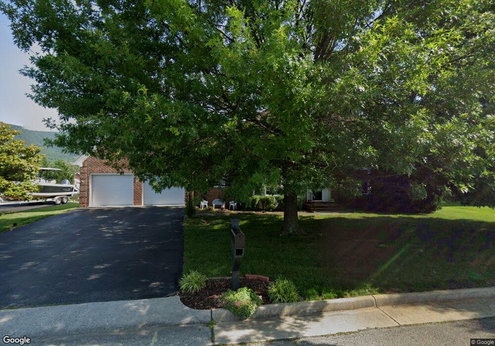
5127 Carter Grove Cir Roanoke, VA 24012
Estimated Value: $554,000 - $647,000
5
Beds
4
Baths
3,384
Sq Ft
$180/Sq Ft
Est. Value
About This Home
This home is located at 5127 Carter Grove Cir, Roanoke, VA 24012 and is currently estimated at $609,867, approximately $180 per square foot. 5127 Carter Grove Cir is a home located in Roanoke County with nearby schools including Bonsack Elementary School, William Byrd Middle School, and William Byrd High School.
Ownership History
Date
Name
Owned For
Owner Type
Purchase Details
Closed on
Jun 28, 2005
Sold by
Duff Thomas V and Duff Tonya J
Bought by
Smith Robert H and Smith Dawn L
Current Estimated Value
Home Financials for this Owner
Home Financials are based on the most recent Mortgage that was taken out on this home.
Original Mortgage
$294,000
Outstanding Balance
$153,075
Interest Rate
5.62%
Mortgage Type
New Conventional
Estimated Equity
$456,792
Create a Home Valuation Report for This Property
The Home Valuation Report is an in-depth analysis detailing your home's value as well as a comparison with similar homes in the area
Home Values in the Area
Average Home Value in this Area
Purchase History
| Date | Buyer | Sale Price | Title Company |
|---|---|---|---|
| Smith Robert H | $392,000 | None Available |
Source: Public Records
Mortgage History
| Date | Status | Borrower | Loan Amount |
|---|---|---|---|
| Open | Smith Robert H | $294,000 |
Source: Public Records
Tax History Compared to Growth
Tax History
| Year | Tax Paid | Tax Assessment Tax Assessment Total Assessment is a certain percentage of the fair market value that is determined by local assessors to be the total taxable value of land and additions on the property. | Land | Improvement |
|---|---|---|---|---|
| 2025 | $5,453 | $529,400 | $65,000 | $464,400 |
| 2024 | $5,121 | $492,400 | $65,000 | $427,400 |
| 2023 | $4,880 | $460,400 | $65,000 | $395,400 |
| 2022 | $4,441 | $407,400 | $65,000 | $342,400 |
| 2021 | $4,296 | $394,100 | $62,000 | $332,100 |
| 2020 | $4,109 | $377,000 | $60,000 | $317,000 |
| 2019 | $4,074 | $373,800 | $60,000 | $313,800 |
| 2018 | $3,959 | $366,800 | $60,000 | $306,800 |
| 2017 | $3,959 | $363,200 | $60,000 | $303,200 |
| 2016 | $3,919 | $359,500 | $60,000 | $299,500 |
| 2015 | $3,917 | $359,400 | $60,000 | $299,400 |
| 2014 | $3,916 | $359,300 | $60,000 | $299,300 |
Source: Public Records
Map
Nearby Homes
- 5018 Carter Grove Ln
- 4127 Mockingbird Hill Rd
- 0 E Ruritan Rd
- 5224 Setter Rd
- 1713 Ashbury Ct
- 5508 Rome Dr
- 4015 Mockingbird Hill Rd
- 1525 W Ruritan Rd
- 1802 W Ruritan Rd
- 5679 Huntridge Rd
- 5687 Huntridge Rd
- 5695 Huntridge Rd
- 2414 Carlsbad Cir
- 5709 Huntridge Rd
- 5715 Huntridge Rd
- The Adams Plan at The Orchards - Townhomes
- The Charleston Plan at The Orchards - Single Family
- 6110 Wisteria Place Ct
- 1944 W Ruritan Rd
- 5032 Orchard Park Dr
- 5133 Carter Grove Cir
- 5119 Carter Grove Cir
- 5250 Dresden Cir
- 5244 Dresden Cir
- 5120 Carter Grove Cir
- 5240 Dresden Cir
- 5139 Carter Grove Cir
- 5111 Carter Grove Cir
- 5252 Dresden Cir
- 5128 Carter Grove Cir
- 5302 Dresden Cir
- 5138 Carter Grove Cir
- 5147 Carter Grove Cir
- 5104 Carter Grove Cir
- 5103 Carter Grove Cir
- 5041 Carter Grove Ln
- 5306 Dresden Cir
- 5144 Carter Grove Cir
- 5241 Dresden Cir
- 5255 Dresden Cir