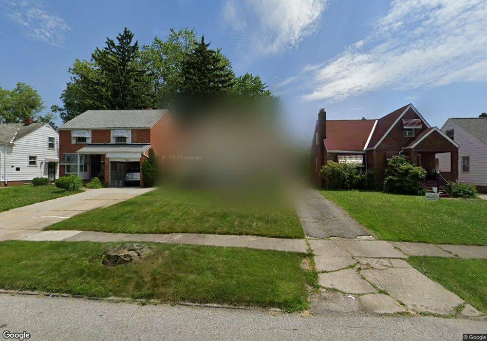
5127 Philip Ave Maple Heights, OH 44137
Estimated Value: $108,000 - $128,000
3
Beds
1
Bath
1,091
Sq Ft
$109/Sq Ft
Est. Value
About This Home
This home is located at 5127 Philip Ave, Maple Heights, OH 44137 and is currently estimated at $118,568, approximately $108 per square foot. 5127 Philip Ave is a home located in Cuyahoga County with nearby schools including Abraham Lincoln Elementary School, Rockside/ J.F. Kennedy School, and Barack Obama School.
Ownership History
Date
Name
Owned For
Owner Type
Purchase Details
Closed on
Oct 29, 1990
Sold by
Green James L
Bought by
Thompson April
Current Estimated Value
Purchase Details
Closed on
Oct 15, 1975
Sold by
Consilio James J
Bought by
Green James L
Purchase Details
Closed on
Jan 1, 1975
Bought by
Consilio James J
Create a Home Valuation Report for This Property
The Home Valuation Report is an in-depth analysis detailing your home's value as well as a comparison with similar homes in the area
Home Values in the Area
Average Home Value in this Area
Purchase History
| Date | Buyer | Sale Price | Title Company |
|---|---|---|---|
| Thompson April | $57,500 | -- | |
| Green James L | $30,000 | -- | |
| Consilio James J | -- | -- |
Source: Public Records
Tax History Compared to Growth
Tax History
| Year | Tax Paid | Tax Assessment Tax Assessment Total Assessment is a certain percentage of the fair market value that is determined by local assessors to be the total taxable value of land and additions on the property. | Land | Improvement |
|---|---|---|---|---|
| 2024 | $3,283 | $36,505 | $7,140 | $29,365 |
| 2023 | $2,222 | $20,550 | $4,340 | $16,210 |
| 2022 | $2,214 | $20,550 | $4,340 | $16,210 |
| 2021 | $2,358 | $20,550 | $4,340 | $16,210 |
| 2020 | $2,020 | $15,580 | $3,290 | $12,290 |
| 2019 | $2,009 | $44,500 | $9,400 | $35,100 |
| 2018 | $1,998 | $15,580 | $3,290 | $12,290 |
| 2017 | $1,914 | $14,460 | $3,010 | $11,450 |
| 2016 | $1,852 | $14,460 | $3,010 | $11,450 |
| 2015 | $1,849 | $14,460 | $3,010 | $11,450 |
| 2014 | $1,849 | $15,900 | $3,330 | $12,570 |
Source: Public Records
Map
Nearby Homes
- 5110 Philip Ave
- 5082 Philip Ave
- 5231 Philip Ave
- 5061 Philip Ave
- 5185 Clement Ave
- 5208 Clement Ave
- 5257 Philip Ave
- 5199 Arch St
- 5212 Catherine St
- 5031 Cato St
- 5239 Arch St
- 5234 Erwin St
- 5320 Clement Ave
- 5210 Theodore St
- 17916 North Blvd
- 17912 North Blvd
- 17204 Maple Heights Blvd
- 16712 Kollin Ave
- 5425 Grasmere Ave
- 5247 Henry St
- 5123 Philip Ave
- 5131 Philip Ave
- 5117 Philip Ave
- 5135 Philip Ave
- 5115 Philip Ave
- 5139 Philip Ave
- 5126 Thomas St
- 5122 Thomas St
- 5130 Thomas St
- 5118 Thomas St
- 5134 Thomas St
- 5143 Philip Ave
- 5111 Philip Ave
- 5114 Thomas St
- 5138 Thomas St
- 5126 Philip Ave
- 5122 Philip Ave
- 5130 Philip Ave
- 5147 Philip Ave
- 5136 Philip Ave