5127 W Heaps Rd Pylesville, MD 21132
Estimated Value: $602,000 - $799,421
--
Bed
2
Baths
2,526
Sq Ft
$287/Sq Ft
Est. Value
About This Home
This home is located at 5127 W Heaps Rd, Pylesville, MD 21132 and is currently estimated at $724,855, approximately $286 per square foot. 5127 W Heaps Rd is a home located in Harford County with nearby schools including Norrisville Elementary School, North Harford Middle School, and North Harford High School.
Ownership History
Date
Name
Owned For
Owner Type
Purchase Details
Closed on
Aug 18, 2017
Sold by
Hoffman Franklyn D and Hoffman Patricia A
Bought by
Frank Adam W and Way Sheena Dawn
Current Estimated Value
Home Financials for this Owner
Home Financials are based on the most recent Mortgage that was taken out on this home.
Original Mortgage
$412,000
Outstanding Balance
$343,782
Interest Rate
3.96%
Mortgage Type
New Conventional
Estimated Equity
$381,073
Purchase Details
Closed on
Feb 12, 2002
Sold by
Cody Phillip L
Bought by
Hoffman Franklin D and Hoffman Patricia A
Purchase Details
Closed on
Dec 8, 1989
Sold by
Young John E
Bought by
Clampet George W
Home Financials for this Owner
Home Financials are based on the most recent Mortgage that was taken out on this home.
Original Mortgage
$45,000
Interest Rate
9.76%
Create a Home Valuation Report for This Property
The Home Valuation Report is an in-depth analysis detailing your home's value as well as a comparison with similar homes in the area
Home Values in the Area
Average Home Value in this Area
Purchase History
| Date | Buyer | Sale Price | Title Company |
|---|---|---|---|
| Frank Adam W | $515,000 | None Available | |
| Hoffman Franklin D | $330,000 | -- | |
| Clampet George W | $90,000 | -- |
Source: Public Records
Mortgage History
| Date | Status | Borrower | Loan Amount |
|---|---|---|---|
| Open | Frank Adam W | $412,000 | |
| Previous Owner | Clampet George W | $45,000 | |
| Closed | Hoffman Franklin D | -- |
Source: Public Records
Tax History Compared to Growth
Tax History
| Year | Tax Paid | Tax Assessment Tax Assessment Total Assessment is a certain percentage of the fair market value that is determined by local assessors to be the total taxable value of land and additions on the property. | Land | Improvement |
|---|---|---|---|---|
| 2025 | $5,875 | $571,133 | $0 | $0 |
| 2024 | $5,875 | $533,500 | $152,000 | $381,500 |
| 2023 | $5,697 | $517,167 | $0 | $0 |
| 2022 | $5,519 | $500,833 | $0 | $0 |
| 2021 | $5,297 | $484,500 | $152,000 | $332,500 |
| 2020 | $5,297 | $453,800 | $0 | $0 |
| 2019 | $4,943 | $423,100 | $0 | $0 |
| 2018 | $4,547 | $392,400 | $162,000 | $230,400 |
| 2017 | $4,547 | $392,400 | $0 | $0 |
| 2016 | -- | $392,400 | $0 | $0 |
| 2015 | $5,023 | $398,700 | $0 | $0 |
| 2014 | $5,023 | $398,700 | $0 | $0 |
Source: Public Records
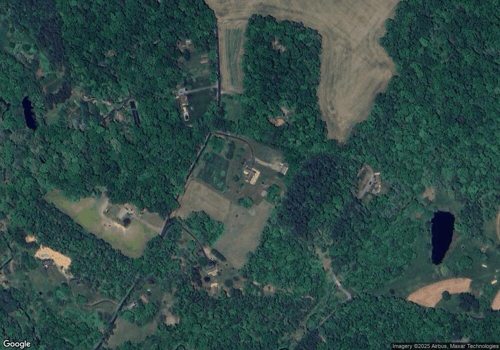
Map
Nearby Homes
- 1701 Scott Rd
- 2131 Channel Rd
- 31 N Market St
- 4816 Amos Rd
- 20 Carea Rd
- 2623 Urey Rd
- 5121 Meadowview Dr
- 397 Marsteller Rd
- 2735 Meadow Tree Dr
- 5403 New Park Rd
- 4522 Madonna Rd
- 257 Wiley Mill Rd
- 2913 Duncan Rd
- 4319 Federal Hill Rd
- 101 Saint Marys Rd
- 387 Garvine Mill Rd
- 4246 Madonna Rd
- 4302 Saint Clair Bridge Rd
- 54 Mitchell Rd
- 2913 Whiteford Rd
- 5191 W Heaps Rd
- 5128 W Heaps Rd
- 5121 W Heaps Rd
- 2020 Neal Rd
- 5201 W Heaps Rd
- 5124 W Heaps Rd
- 5130 W Heaps Rd
- 5115 W Heaps Rd
- 5200 W Heaps Rd
- 5204 W Heaps Rd
- 5204 W Heaps Rd
- 5206 W Heaps Rd
- 5114 W Heaps Rd
- 5208 W Heaps Rd
- 2041 Neal Rd
- 2008 Neal Rd
- 2049 Neal Rd
- 2037 Neal Rd
- 5212 W Heaps Rd
- 2005 Neal Rd