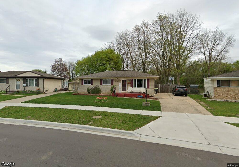
5127 Winshall Dr Swartz Creek, MI 48473
Estimated Value: $190,000 - $212,483
3
Beds
2
Baths
1,092
Sq Ft
$182/Sq Ft
Est. Value
About This Home
This home is located at 5127 Winshall Dr, Swartz Creek, MI 48473 and is currently estimated at $199,121, approximately $182 per square foot. 5127 Winshall Dr is a home located in Genesee County with nearby schools including Syring Elementary School, Elms Road Elementary School, and Dieck Elementary School.
Ownership History
Date
Name
Owned For
Owner Type
Purchase Details
Closed on
May 25, 2006
Sold by
Laconis Lawrence
Bought by
Laconis Lawrence and Laconis Lisa
Current Estimated Value
Home Financials for this Owner
Home Financials are based on the most recent Mortgage that was taken out on this home.
Original Mortgage
$142,750
Outstanding Balance
$84,225
Interest Rate
6.73%
Mortgage Type
FHA
Estimated Equity
$114,896
Purchase Details
Closed on
Jul 15, 2004
Sold by
Dye James S and Raya Dye Robin
Bought by
Laconis Lawrence
Create a Home Valuation Report for This Property
The Home Valuation Report is an in-depth analysis detailing your home's value as well as a comparison with similar homes in the area
Home Values in the Area
Average Home Value in this Area
Purchase History
| Date | Buyer | Sale Price | Title Company |
|---|---|---|---|
| Laconis Lawrence | -- | None Available | |
| Laconis Lawrence | $139,000 | Sargents Title Company |
Source: Public Records
Mortgage History
| Date | Status | Borrower | Loan Amount |
|---|---|---|---|
| Open | Laconis Lawrence | $142,750 |
Source: Public Records
Tax History Compared to Growth
Tax History
| Year | Tax Paid | Tax Assessment Tax Assessment Total Assessment is a certain percentage of the fair market value that is determined by local assessors to be the total taxable value of land and additions on the property. | Land | Improvement |
|---|---|---|---|---|
| 2025 | $2,008 | $94,400 | $0 | $0 |
| 2024 | $1,625 | $90,200 | $0 | $0 |
| 2023 | $1,549 | $83,300 | $0 | $0 |
| 2022 | $1,829 | $71,000 | $0 | $0 |
| 2021 | $1,779 | $67,400 | $0 | $0 |
| 2020 | $1,422 | $65,800 | $0 | $0 |
| 2019 | $1,403 | $60,900 | $0 | $0 |
| 2018 | $1,526 | $46,000 | $0 | $0 |
| 2017 | $1,463 | $46,000 | $0 | $0 |
| 2016 | $1,450 | $44,300 | $0 | $0 |
| 2015 | $1,119 | $40,700 | $0 | $0 |
| 2014 | $855 | $37,700 | $0 | $0 |
| 2012 | -- | $34,000 | $34,000 | $0 |
Source: Public Records
Map
Nearby Homes
- 8415 Cappy Ln
- 5108 Mclain St
- 5050 Fairchild St
- 5150 Oxford Ct
- 8247 Miller Rd
- 5177 Durwood Dr
- 72 Ashley Cir
- 9091 Miller Rd
- 5409 Durwood Dr
- 138 Ashley Cir
- 4320 Seymour Rd
- 162 Brookfield
- V/L Morrish Rd
- 5200 Morrish Rd
- 0 S Seymour Rd
- 7510 Elizabeth Ct Unit 55
- 5402 Raubinger Rd
- 4534 Raubinger Rd
- 9312 Sue Ct
- 7257 Miller Rd
- 5133 Winshall Dr
- 5121 Winshall Dr
- 5117 Winshall Dr
- 5139 Winshall Dr
- 5145 Winshall Dr
- 8365 Cappy Ln
- 8347 Cappy Ln
- 8359 Cappy Ln
- 5116 Winshall Dr
- 8371 Cappy Ln
- 5108 Winshall Dr
- 8353 Cappy Ln
- 5151 Winshall Dr
- 5124 Winshall Dr
- 8341 Cappy Ln
- 8391 Cappy Ln
- 8397 Cappy Ln
- 5132 Winshall Dr
- 5157 Winshall Dr
- 8403 Cappy Ln