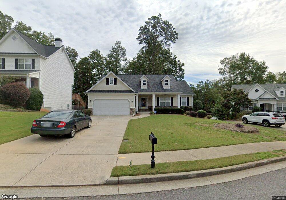
5129 Leecroft Dr Buford, GA 30518
Estimated Value: $422,508 - $457,000
4
Beds
3
Baths
1,947
Sq Ft
$227/Sq Ft
Est. Value
About This Home
This home is located at 5129 Leecroft Dr, Buford, GA 30518 and is currently estimated at $442,877, approximately $227 per square foot. 5129 Leecroft Dr is a home located in Gwinnett County with nearby schools including Sugar Hill Elementary School, Lanier Middle School, and Lanier High School.
Ownership History
Date
Name
Owned For
Owner Type
Purchase Details
Closed on
Jul 29, 2011
Sold by
Perkins Andrew R and Perkins Dana E
Bought by
Hurst Reginald G and Hurst Stephanie R
Current Estimated Value
Home Financials for this Owner
Home Financials are based on the most recent Mortgage that was taken out on this home.
Original Mortgage
$192,600
Outstanding Balance
$132,087
Interest Rate
4.52%
Mortgage Type
New Conventional
Estimated Equity
$310,790
Create a Home Valuation Report for This Property
The Home Valuation Report is an in-depth analysis detailing your home's value as well as a comparison with similar homes in the area
Home Values in the Area
Average Home Value in this Area
Purchase History
| Date | Buyer | Sale Price | Title Company |
|---|---|---|---|
| Hurst Reginald G | $214,000 | -- |
Source: Public Records
Mortgage History
| Date | Status | Borrower | Loan Amount |
|---|---|---|---|
| Open | Hurst Reginald G | $192,600 | |
| Closed | Hurst Reginald G | $192,600 |
Source: Public Records
Tax History
| Year | Tax Paid | Tax Assessment Tax Assessment Total Assessment is a certain percentage of the fair market value that is determined by local assessors to be the total taxable value of land and additions on the property. | Land | Improvement |
|---|---|---|---|---|
| 2025 | $4,756 | $186,640 | $34,000 | $152,640 |
| 2024 | $5,227 | $200,680 | $33,200 | $167,480 |
| 2023 | $5,227 | $153,880 | $24,000 | $129,880 |
| 2022 | $4,231 | $153,880 | $24,000 | $129,880 |
| 2021 | $3,556 | $118,640 | $18,000 | $100,640 |
| 2020 | $3,302 | $105,640 | $18,000 | $87,640 |
| 2019 | $3,225 | $105,640 | $18,000 | $87,640 |
| 2018 | $2,845 | $87,960 | $15,200 | $72,760 |
| 2016 | $2,869 | $87,960 | $15,200 | $72,760 |
| 2015 | $2,561 | $72,880 | $10,800 | $62,080 |
| 2014 | -- | $66,680 | $10,800 | $55,880 |
Source: Public Records
Map
Nearby Homes
- 305 Penfield Cir
- 5445 Maltdie Ct
- 5066 Allison Way
- 4920 Markim Forest Ln
- 623 Friars Head Ct
- 632 Hidden Springs Ct
- 5090 Maltdie Ct
- 301 Tweed Ct
- 4810 Markim Forest Ln
- 502 Level Creek Rd
- 1833 Piney Bend Dr
- 5186 Sudbury Point Ln
- 4867 Hunters Grove Way
- 5109 Dogwood Hills Dr
- 5340 Candun Cir
- 314 Level Creek Rd
- 5000 Sugar Creek Dr
- 5183 Sugar Ridge Dr
- 4960 Sugar Creek Dr
- 4931 Sugar Creek Dr
- 5139 Leecroft Dr
- 5119 Leecroft Dr
- 5149 Leecroft Dr
- 5109 Leecroft Dr
- 335 Penfield Cir
- 5138 Leecroft Dr
- 5138 Leecroft Dr
- 480 Cooper Farm Dr Unit 23
- 5159 Leecroft Dr
- 5118 Leecroft Dr
- 5108 Leecroft Dr
- 5169 Leecroft Dr
- 500 Cooper Farm Way
- 5168 Leecroft Dr
- 336 Penfield Cir
- 315 Penfield Cir
- 5179 Leecroft Dr
- 326 Penfield Cir
- 316 Penfield Cir
- 5188 Leecroft Dr
Your Personal Tour Guide
Ask me questions while you tour the home.