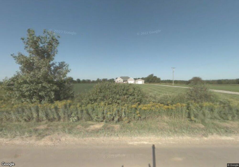
5129 Sheridan Rd Emmett, MI 48022
Estimated Value: $343,000 - $440,141
3
Beds
2
Baths
1,499
Sq Ft
$260/Sq Ft
Est. Value
About This Home
This home is located at 5129 Sheridan Rd, Emmett, MI 48022 and is currently estimated at $389,047, approximately $259 per square foot. 5129 Sheridan Rd is a home located in St. Clair County with nearby schools including Yale Senior High School.
Ownership History
Date
Name
Owned For
Owner Type
Purchase Details
Closed on
Oct 31, 2008
Sold by
Roose John A
Bought by
Roose John A and Roose Carrie A
Current Estimated Value
Home Financials for this Owner
Home Financials are based on the most recent Mortgage that was taken out on this home.
Original Mortgage
$180,000
Outstanding Balance
$118,331
Interest Rate
6.11%
Mortgage Type
New Conventional
Estimated Equity
$270,716
Purchase Details
Closed on
Apr 14, 2005
Sold by
Timlin Maria and Timlin Charles
Bought by
Roose John A
Home Financials for this Owner
Home Financials are based on the most recent Mortgage that was taken out on this home.
Original Mortgage
$49,500
Interest Rate
6.06%
Mortgage Type
New Conventional
Create a Home Valuation Report for This Property
The Home Valuation Report is an in-depth analysis detailing your home's value as well as a comparison with similar homes in the area
Home Values in the Area
Average Home Value in this Area
Purchase History
| Date | Buyer | Sale Price | Title Company |
|---|---|---|---|
| Roose John A | -- | None Available | |
| Roose John A | $55,000 | None Available |
Source: Public Records
Mortgage History
| Date | Status | Borrower | Loan Amount |
|---|---|---|---|
| Open | Roose John A | $180,000 | |
| Closed | Roose John A | $49,500 |
Source: Public Records
Tax History Compared to Growth
Tax History
| Year | Tax Paid | Tax Assessment Tax Assessment Total Assessment is a certain percentage of the fair market value that is determined by local assessors to be the total taxable value of land and additions on the property. | Land | Improvement |
|---|---|---|---|---|
| 2025 | $3,352 | $220,700 | $0 | $0 |
| 2024 | $1,336 | $207,500 | $0 | $0 |
| 2023 | $1,272 | $190,000 | $0 | $0 |
| 2022 | $3,053 | $166,300 | $0 | $0 |
| 2021 | $2,769 | $157,200 | $0 | $0 |
| 2020 | $2,769 | $151,000 | $18,200 | $132,800 |
| 2019 | $2,575 | $133,700 | $0 | $0 |
| 2018 | $2,535 | $117,100 | $0 | $0 |
| 2017 | $4,234 | $113,400 | $0 | $0 |
| 2016 | $1,077 | $113,400 | $0 | $0 |
| 2015 | -- | $103,900 | $18,100 | $85,800 |
| 2014 | -- | $92,400 | $17,200 | $75,200 |
| 2013 | -- | $92,200 | $0 | $0 |
Source: Public Records
Map
Nearby Homes
- 00 Foley Rd
- 0001 Foley Rd
- 5699 Connell Rd
- 11 Sullivan Rd
- 00 Sherridan Rd
- 5901 Quain Rd
- V/L Rose Rd Unit V/L Metcalf
- 11157 Rose Rd
- 4697 Emmett Rd
- 12980 Metcalf Rd
- 11705 Norman Rd
- 3760 Keegan Rd
- 13525 Imlay City Rd
- 13566 Kaufman Rd
- 3820 Breen Rd
- 13027 Norman Rd
- 000 Keegan Rd
- 10103 Beard Rd
- 11120 Wilkes Rd
- 10805 Wilkes Rd
- 5145 Sheridan Rd
- 5181 Sheridan Rd
- 12022 Foley Rd
- 5011 Sheridan Rd
- 12080 Foley Rd
- 12100 Foley Rd
- 5235 Sheridan Rd
- 0 Foley Rd Unit 218044008
- 0 Foley Rd Unit 4965940
- 0 Foley Rd Unit 4506902
- 0 Foley Rd Unit 4974174
- 0 Foley Rd Unit 213028256
- 0 Foley Rd Unit 213030696
- 0000 Foley Rd
- VL 24+ Acres Foley Rd
- 0 Foley Rd Unit G31142213
- 0 Foley Rd Unit G31388503
- 0 Foley Rd Unit G50060162
- 0 Foley Rd Unit G50060161
- 0 Foley Rd Unit G50060159