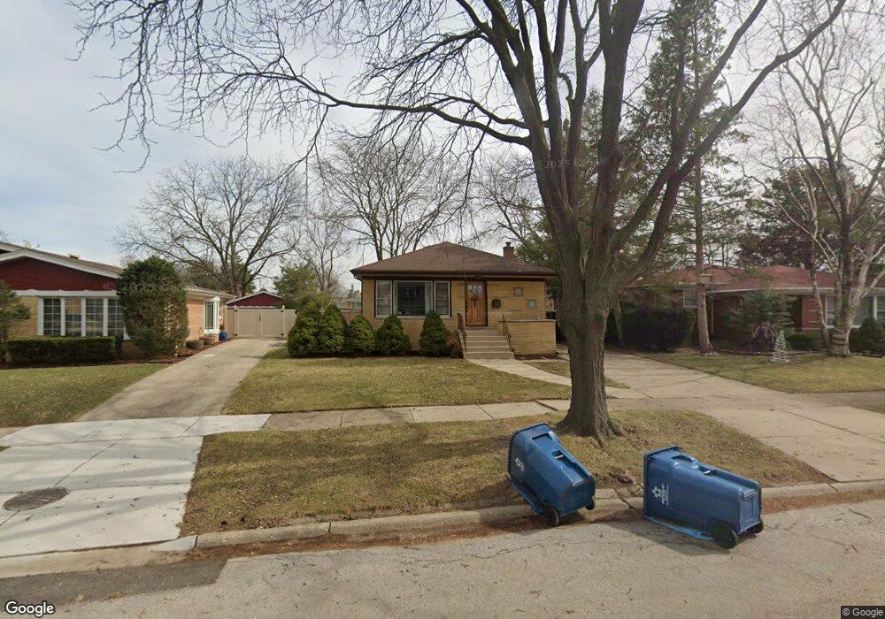
5129 Wolfe Dr Oak Lawn, IL 60453
Estimated Value: $336,000 - $358,000
3
Beds
1
Bath
1,330
Sq Ft
$259/Sq Ft
Est. Value
About This Home
This home is located at 5129 Wolfe Dr, Oak Lawn, IL 60453 and is currently estimated at $344,676, approximately $259 per square foot. 5129 Wolfe Dr is a home located in Cook County with nearby schools including Kolmar Avenue Elementary School, Sward Elementary School, and J Covington Elementary School.
Ownership History
Date
Name
Owned For
Owner Type
Purchase Details
Closed on
Jun 25, 2001
Sold by
Mccrea Justin F and Mccrea Gloria J
Bought by
Harris Todd J and Gildea Kristin
Current Estimated Value
Home Financials for this Owner
Home Financials are based on the most recent Mortgage that was taken out on this home.
Original Mortgage
$161,994
Outstanding Balance
$62,610
Interest Rate
7.18%
Mortgage Type
FHA
Estimated Equity
$282,066
Create a Home Valuation Report for This Property
The Home Valuation Report is an in-depth analysis detailing your home's value as well as a comparison with similar homes in the area
Home Values in the Area
Average Home Value in this Area
Purchase History
| Date | Buyer | Sale Price | Title Company |
|---|---|---|---|
| Harris Todd J | $168,000 | -- |
Source: Public Records
Mortgage History
| Date | Status | Borrower | Loan Amount |
|---|---|---|---|
| Open | Harris Todd J | $161,994 |
Source: Public Records
Tax History Compared to Growth
Tax History
| Year | Tax Paid | Tax Assessment Tax Assessment Total Assessment is a certain percentage of the fair market value that is determined by local assessors to be the total taxable value of land and additions on the property. | Land | Improvement |
|---|---|---|---|---|
| 2024 | $7,610 | $27,000 | $5,238 | $21,762 |
| 2023 | $6,173 | $27,000 | $5,238 | $21,762 |
| 2022 | $6,173 | $19,081 | $4,540 | $14,541 |
| 2021 | $6,042 | $19,079 | $4,539 | $14,540 |
| 2020 | $6,069 | $19,079 | $4,539 | $14,540 |
| 2019 | $6,227 | $19,671 | $4,190 | $15,481 |
| 2018 | $5,992 | $19,671 | $4,190 | $15,481 |
| 2017 | $7,090 | $22,348 | $4,190 | $18,158 |
| 2016 | $5,825 | $17,389 | $3,492 | $13,897 |
| 2015 | $5,691 | $17,389 | $3,492 | $13,897 |
| 2014 | $5,630 | $17,389 | $3,492 | $13,897 |
| 2013 | $6,070 | $20,330 | $3,492 | $16,838 |
Source: Public Records
Map
Nearby Homes
- 10713 Lawler Ave
- 10724 Lawler Ave
- 10652 Laramie Ave
- 10720 Laramie Ave
- 10816 Leclaire Ave
- 5009 W 105th St
- 10720 Lamon Ave
- 4837 W 107th St
- 10540 Lockwood Ave
- 4913 W 105th St
- 4823 W 106th St
- 4917 W 109th St Unit 202
- 4829 W 109th St Unit 203
- 10737 Long Ave
- 11001 Deblin Ln Unit 203
- 11000 Deblin Ln
- 5120 Deblin Ln
- 11028 Jodan Dr
- 5111 Deblin Ln Unit 3B
- 10908 Keating Ave
- 5131 Wolfe Dr
- 5127 Wolfe Dr
- 5108 W 107th St
- 5108 W 107th St
- 5125 Wolfe Dr
- 5133 Wolfe Dr
- 5133 Wolfe Dr
- 5106 W 107th St
- 5112 W 107th St
- 5123 Wolfe Dr
- 5135 Wolfe Dr
- 5116 W 107th St
- 5128 Wolfe Dr
- 5126 Wolfe Dr
- 10655 Leclaire Ave
- 10640 Lawler Ave
- 10644 Lawler Ave
- 5120 W 107th St
- 10636 Lawler Ave
- 5124 Wolfe Dr