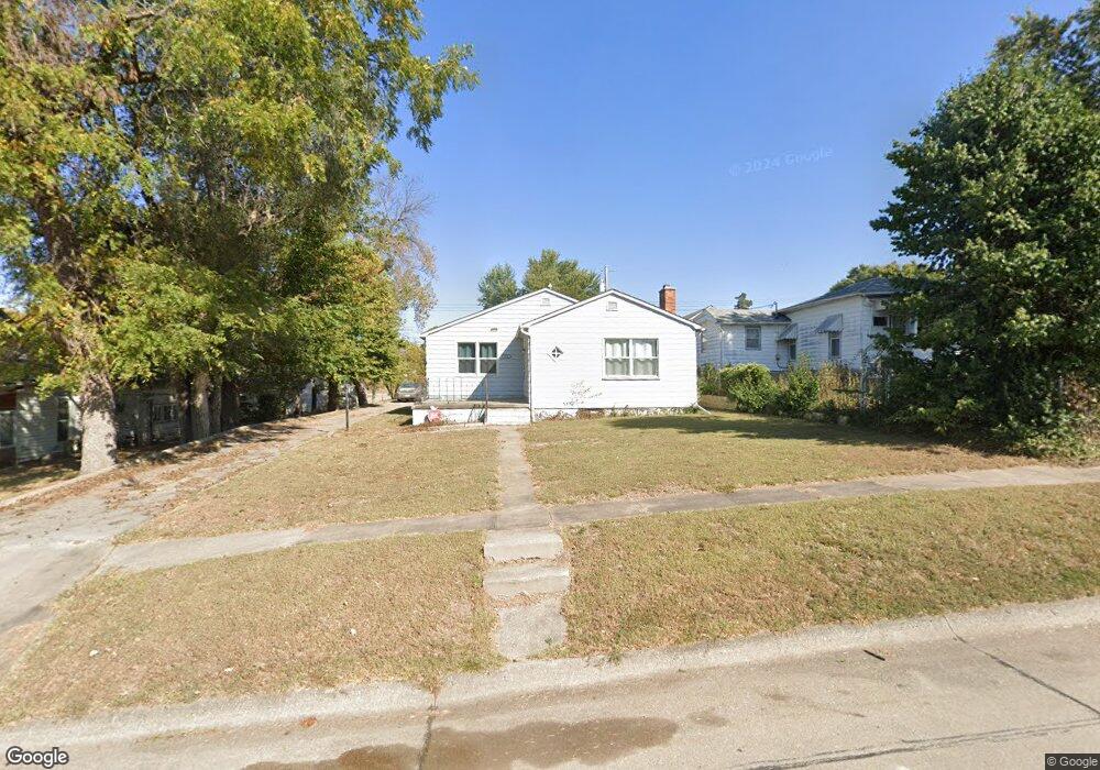
513 6th St Humboldt, NE 68376
Estimated Value: $67,266 - $80,000
2
Beds
1
Bath
1,323
Sq Ft
$57/Sq Ft
Est. Value
About This Home
This home is located at 513 6th St, Humboldt, NE 68376 and is currently estimated at $75,567, approximately $57 per square foot. 513 6th St is a home located in Richardson County with nearby schools including HTRS Elementary School, HTRS Middle School, and HTRS High School.
Ownership History
Date
Name
Owned For
Owner Type
Purchase Details
Closed on
Dec 14, 2018
Sold by
Rj Sales Inc
Bought by
Herr Elijah R
Current Estimated Value
Purchase Details
Closed on
Feb 8, 2011
Sold by
Federal Home Loan Mortgage Corporation
Bought by
Rj Sales Inc
Purchase Details
Closed on
Dec 3, 2006
Sold by
Bass Vernon C and Bass Eva M
Bought by
Bass Life Est Eva M
Purchase Details
Closed on
Jul 6, 2005
Sold by
Hofmann Leora S
Bought by
Bass Vernon C and Bass Eva M
Purchase Details
Closed on
Jun 30, 2005
Sold by
Hofman Richard L
Bought by
Hofman Leora S
Purchase Details
Closed on
Jul 3, 2001
Sold by
Stalder Peggy A and Stalder Gail A
Bought by
Hofmann Leora S
Create a Home Valuation Report for This Property
The Home Valuation Report is an in-depth analysis detailing your home's value as well as a comparison with similar homes in the area
Purchase History
| Date | Buyer | Sale Price | Title Company |
|---|---|---|---|
| Herr Elijah R | $42,500 | -- | |
| Rj Sales Inc | $6,000 | -- | |
| Bass Life Est Eva M | -- | -- | |
| Bass Vernon C | $26,000 | -- | |
| Hofman Leora S | -- | -- | |
| Hofmann Leora S | $23,500 | -- |
Source: Public Records
Tax History
| Year | Tax Paid | Tax Assessment Tax Assessment Total Assessment is a certain percentage of the fair market value that is determined by local assessors to be the total taxable value of land and additions on the property. | Land | Improvement |
|---|---|---|---|---|
| 2025 | $596 | $47,981 | $3,443 | $44,538 |
| 2024 | $769 | $46,700 | $3,420 | $43,280 |
| 2023 | $769 | $48,556 | $3,420 | $45,136 |
| 2022 | $629 | $33,420 | $1,825 | $31,595 |
| 2021 | $644 | $35,575 | $1,825 | $33,750 |
| 2020 | $635 | $33,968 | $1,825 | $32,143 |
| 2019 | $599 | $33,032 | $1,825 | $31,207 |
| 2018 | $592 | $30,720 | $1,825 | $28,895 |
| 2017 | $595 | $30,720 | $1,825 | $28,895 |
| 2016 | $634 | $30,720 | $1,825 | $28,895 |
| 2015 | $651 | $30,720 | $1,825 | $28,895 |
| 2014 | $610 | $28,230 | $1,825 | $26,405 |
Source: Public Records
Map
Nearby Homes
Your Personal Tour Guide
Ask me questions while you tour the home.