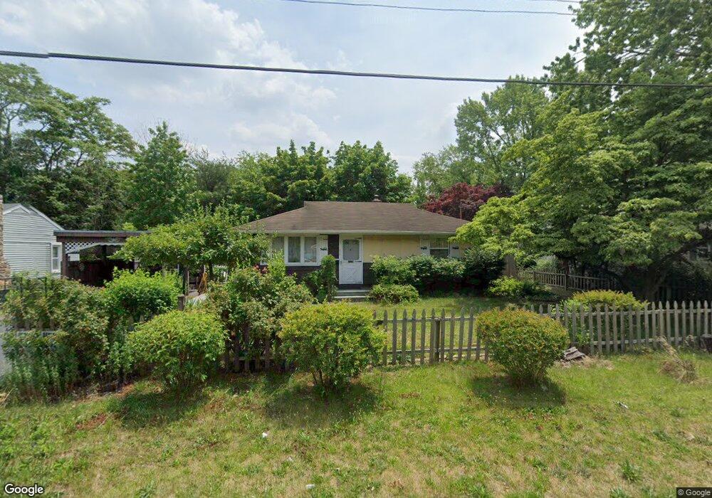
513 Boody Dr Vineland, NJ 08360
Estimated Value: $229,977 - $262,000
2
Beds
1
Bath
864
Sq Ft
$282/Sq Ft
Est. Value
About This Home
This home is located at 513 Boody Dr, Vineland, NJ 08360 and is currently estimated at $243,494, approximately $281 per square foot. 513 Boody Dr is a home located in Cumberland County with nearby schools including D'Ippolito Elementary School, Veterans Memorial Intermediate School, and Vineland Senior High School.
Ownership History
Date
Name
Owned For
Owner Type
Purchase Details
Closed on
Apr 6, 2010
Sold by
Lera Eugene P and Lera Richard D
Bought by
Matos Ruben
Current Estimated Value
Home Financials for this Owner
Home Financials are based on the most recent Mortgage that was taken out on this home.
Original Mortgage
$100,000
Outstanding Balance
$66,504
Interest Rate
4.97%
Mortgage Type
Purchase Money Mortgage
Estimated Equity
$176,990
Purchase Details
Closed on
Mar 29, 1996
Sold by
Lera Paul L and Lera Edith
Bought by
Lera Eugene P and Lera Richard D
Create a Home Valuation Report for This Property
The Home Valuation Report is an in-depth analysis detailing your home's value as well as a comparison with similar homes in the area
Home Values in the Area
Average Home Value in this Area
Purchase History
| Date | Buyer | Sale Price | Title Company |
|---|---|---|---|
| Matos Ruben | $125,000 | -- | |
| Lera Eugene P | $61,500 | -- |
Source: Public Records
Mortgage History
| Date | Status | Borrower | Loan Amount |
|---|---|---|---|
| Open | Matos Ruben | $100,000 |
Source: Public Records
Tax History Compared to Growth
Tax History
| Year | Tax Paid | Tax Assessment Tax Assessment Total Assessment is a certain percentage of the fair market value that is determined by local assessors to be the total taxable value of land and additions on the property. | Land | Improvement |
|---|---|---|---|---|
| 2025 | $3,139 | $98,600 | $24,500 | $74,100 |
| 2024 | $3,139 | $98,600 | $24,500 | $74,100 |
| 2023 | $3,119 | $98,600 | $24,500 | $74,100 |
| 2022 | $3,026 | $98,600 | $24,500 | $74,100 |
| 2021 | $2,971 | $98,600 | $24,500 | $74,100 |
| 2020 | $2,886 | $98,600 | $24,500 | $74,100 |
| 2019 | $2,847 | $98,600 | $24,500 | $74,100 |
| 2018 | $2,772 | $98,600 | $24,500 | $74,100 |
| 2017 | $2,633 | $98,600 | $24,500 | $74,100 |
| 2016 | $2,540 | $98,600 | $24,500 | $74,100 |
| 2015 | $2,446 | $98,600 | $24,500 | $74,100 |
| 2014 | $2,313 | $98,600 | $24,500 | $74,100 |
Source: Public Records
Map
Nearby Homes
- 400 N 7th St
- 1298 W Cornell St
- 1267 Northeast Blvd
- 1143 N East Ave
- 636 E Pear St
- 550 Northwest Ave
- 411 N East Ave
- 409 N East Ave
- 818 E Pear St
- 108 W Park Ave
- 48 N Myrtle St
- 785 E Oak Rd
- 1249 Sassafras Dr
- 711 Timber Brook Dr
- 515 Park Ln
- 1230 Ramblewood Dr
- 519 Clarendon Ave
- 516 N Valley Ave
- 724 E Grape St
- 511 E Grape St