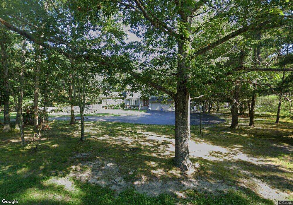
513 Clarkstown Rd Mays Landing, NJ 08330
Estimated Value: $482,117 - $586,000
--
Bed
--
Bath
2,633
Sq Ft
$204/Sq Ft
Est. Value
About This Home
This home is located at 513 Clarkstown Rd, Mays Landing, NJ 08330 and is currently estimated at $536,029, approximately $203 per square foot. 513 Clarkstown Rd is a home located in Atlantic County with nearby schools including George L. Hess Educational Complex, Joseph Shaner School, and William Davies Middle School.
Ownership History
Date
Name
Owned For
Owner Type
Purchase Details
Closed on
Dec 31, 1986
Bought by
Kesselman Harvey and Kesselman Lynne
Current Estimated Value
Create a Home Valuation Report for This Property
The Home Valuation Report is an in-depth analysis detailing your home's value as well as a comparison with similar homes in the area
Home Values in the Area
Average Home Value in this Area
Purchase History
| Date | Buyer | Sale Price | Title Company |
|---|---|---|---|
| Kesselman Harvey | $26,000 | -- |
Source: Public Records
Tax History Compared to Growth
Tax History
| Year | Tax Paid | Tax Assessment Tax Assessment Total Assessment is a certain percentage of the fair market value that is determined by local assessors to be the total taxable value of land and additions on the property. | Land | Improvement |
|---|---|---|---|---|
| 2025 | $9,747 | $284,100 | $60,600 | $223,500 |
| 2024 | $9,747 | $284,100 | $60,600 | $223,500 |
| 2023 | $9,165 | $284,100 | $60,600 | $223,500 |
| 2022 | $9,165 | $284,100 | $60,600 | $223,500 |
| 2021 | $9,145 | $284,100 | $60,600 | $223,500 |
| 2020 | $9,145 | $284,100 | $60,600 | $223,500 |
| 2019 | $9,168 | $284,100 | $60,600 | $223,500 |
| 2018 | $8,847 | $284,100 | $60,600 | $223,500 |
| 2017 | $8,708 | $284,100 | $60,600 | $223,500 |
| 2016 | $8,463 | $284,100 | $60,600 | $223,500 |
| 2015 | $8,176 | $284,100 | $60,600 | $223,500 |
| 2014 | $8,238 | $313,600 | $75,800 | $237,800 |
Source: Public Records
Map
Nearby Homes
- 570 North St
- 116 Post Rd
- 1303 W Riverside Dr
- 1410 Cantillon Blvd
- 355 Penny Ln
- 246 Old River Rd
- 15 Lowell St
- 225 Old River Rd
- 1403 Loretta Ave
- 1404 Loretta Ave
- 1 Lafayette Ave
- 148 Marucci Place
- 1305 Matthews Ave
- 504 Meadowbrook Dr
- 109 Deal Ln
- 112 Giunta Walk
- 98 Gasko Rd
- 144 Knights Bridge Way
- 105 Knights Bridge Way
- 76 Gasko Rd
- 519 Clarkstown Rd
- 474 Franklin Dr
- 472 Franklin Dr
- 476 Franklin Dr
- 523 Clarkstown Rd
- 470 Franklin Dr
- 516 Clarkstown Rd
- 512 Clarkstown Rd
- 524 Gravelly Run Rd
- 471 Franklin Dr
- 473 Franklin Dr
- 529 Clarkstown Rd
- 478 Clarkstown Rd
- 475 Franklin Dr
- 469 Franklin Dr
- 474 Clarkstown Rd
- 464 Franklin Dr
- 462 Franklin Dr
- 525 Gravelly Run Rd
- 470 Clarkstown Rd