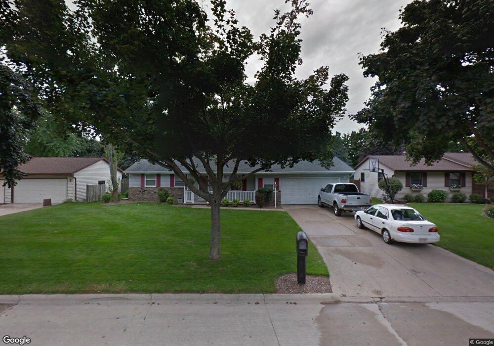
513 Cornelius Dr Green Bay, WI 54311
Baird Creek NeighborhoodEstimated Value: $296,000 - $327,000
3
Beds
2
Baths
1,204
Sq Ft
$259/Sq Ft
Est. Value
About This Home
This home is located at 513 Cornelius Dr, Green Bay, WI 54311 and is currently estimated at $311,257, approximately $258 per square foot. 513 Cornelius Dr is a home located in Brown County with nearby schools including Baird Elementary School, Preble High School, and St. Thomas More Catholic School.
Ownership History
Date
Name
Owned For
Owner Type
Purchase Details
Closed on
Aug 18, 2008
Sold by
Rotter Linda K
Bought by
Rotter David A
Current Estimated Value
Home Financials for this Owner
Home Financials are based on the most recent Mortgage that was taken out on this home.
Original Mortgage
$3,600
Outstanding Balance
$2,370
Interest Rate
6.39%
Mortgage Type
Seller Take Back
Estimated Equity
$308,887
Create a Home Valuation Report for This Property
The Home Valuation Report is an in-depth analysis detailing your home's value as well as a comparison with similar homes in the area
Home Values in the Area
Average Home Value in this Area
Purchase History
| Date | Buyer | Sale Price | Title Company |
|---|---|---|---|
| Rotter David A | -- | None Available |
Source: Public Records
Mortgage History
| Date | Status | Borrower | Loan Amount |
|---|---|---|---|
| Open | Rotter David A | $3,600 |
Source: Public Records
Tax History Compared to Growth
Tax History
| Year | Tax Paid | Tax Assessment Tax Assessment Total Assessment is a certain percentage of the fair market value that is determined by local assessors to be the total taxable value of land and additions on the property. | Land | Improvement |
|---|---|---|---|---|
| 2024 | $4,129 | $197,000 | $33,400 | $163,600 |
| 2023 | $3,912 | $197,000 | $33,400 | $163,600 |
| 2022 | $3,836 | $197,000 | $33,400 | $163,600 |
| 2021 | $3,415 | $132,800 | $28,800 | $104,000 |
| 2020 | $3,030 | $132,800 | $28,800 | $104,000 |
| 2019 | $3,912 | $132,800 | $28,800 | $104,000 |
| 2018 | $3,467 | $132,800 | $28,800 | $104,000 |
| 2017 | $3,568 | $132,800 | $28,800 | $104,000 |
| 2016 | $3,459 | $132,800 | $28,800 | $104,000 |
| 2015 | $3,674 | $132,800 | $28,800 | $104,000 |
| 2014 | $3,448 | $132,800 | $28,800 | $104,000 |
| 2013 | $3,448 | $132,800 | $28,800 | $104,000 |
Source: Public Records
Map
Nearby Homes
- 3032 Humboldt Rd
- 910 Pine Ridge Dr
- 3038 Bay View Dr
- 3199 Humboldt Rd
- 1014 Laverne Dr
- 2800 Humboldt Rd
- 1019 Mt Mary Dr
- 980 Queoff St
- 3335 Langdon St
- 1115 Bay Mist Dr
- 2780 Humboldt Rd
- 1211 Bay Mist Dr
- 0 Largo Ridge Dr Unit 50299111
- 0 Largo Ridge Dr Unit 50316072
- 1216 Bay Mist Dr
- 1123 Saint Charles Dr
- 3370 Largo Ridge Ct
- 3329 Largo Ridge Dr
- 1000 Mount Hood Ct
- 3415 Indigo Bluff Dr
- 523 Cornelius Dr
- 511 Cornelius Dr
- 512 Lorraine Ln
- 508 Lorraine Ln
- 526 Lorraine Ln
- 531 Cornelius Dr
- 493 Cornelius Dr
- 516 Cornelius Dr
- 470 Lorraine Ln
- 530 Lorraine Ln
- 508 Cornelius Dr
- 524 Cornelius Dr
- 541 Cornelius Dr
- 457 Cornelius Dr
- 0 Lorraine Ln
- 480 Cornelius Dr
- 530 Cornelius Dr
- 540 Lorraine Ln
- 450 Lorraine Ln
- 540 Cornelius Dr