513 N Brobst Rd Woodburn, IN 46797
Estimated Value: $205,000 - $224,183
3
Beds
2
Baths
1,196
Sq Ft
$179/Sq Ft
Est. Value
About This Home
This home is located at 513 N Brobst Rd, Woodburn, IN 46797 and is currently estimated at $214,296, approximately $179 per square foot. 513 N Brobst Rd is a home located in Allen County with nearby schools including Woodlan Junior/Senior High School.
Ownership History
Date
Name
Owned For
Owner Type
Purchase Details
Closed on
Nov 26, 2002
Sold by
Mari Ebb Farms Inc
Bought by
Moore Evelyn M
Current Estimated Value
Purchase Details
Closed on
Aug 2, 2002
Sold by
Mari Ebb Farms Inc
Bought by
Weil Greg A and Weil Deborah K
Home Financials for this Owner
Home Financials are based on the most recent Mortgage that was taken out on this home.
Original Mortgage
$110,500
Interest Rate
6.7%
Create a Home Valuation Report for This Property
The Home Valuation Report is an in-depth analysis detailing your home's value as well as a comparison with similar homes in the area
Home Values in the Area
Average Home Value in this Area
Purchase History
| Date | Buyer | Sale Price | Title Company |
|---|---|---|---|
| Moore Evelyn M | -- | -- | |
| Weil Greg A | -- | -- | |
| Mari Ebb Farms Inc | -- | -- |
Source: Public Records
Mortgage History
| Date | Status | Borrower | Loan Amount |
|---|---|---|---|
| Previous Owner | Weil Greg A | $110,500 |
Source: Public Records
Tax History Compared to Growth
Tax History
| Year | Tax Paid | Tax Assessment Tax Assessment Total Assessment is a certain percentage of the fair market value that is determined by local assessors to be the total taxable value of land and additions on the property. | Land | Improvement |
|---|---|---|---|---|
| 2024 | $929 | $153,400 | $43,300 | $110,100 |
| 2023 | $904 | $161,900 | $43,300 | $118,600 |
| 2022 | $1,024 | $163,700 | $43,300 | $120,400 |
| 2021 | $954 | $145,400 | $43,300 | $102,100 |
| 2020 | $968 | $143,800 | $43,300 | $100,500 |
| 2019 | $967 | $143,800 | $43,300 | $100,500 |
| 2018 | $983 | $140,400 | $43,300 | $97,100 |
| 2017 | $957 | $134,500 | $43,300 | $91,200 |
| 2016 | $932 | $132,100 | $43,300 | $88,800 |
| 2014 | $864 | $125,000 | $43,300 | $81,700 |
| 2013 | $886 | $124,500 | $43,900 | $80,600 |
Source: Public Records
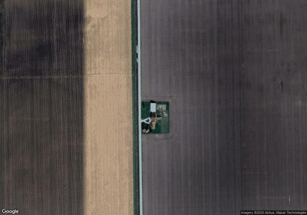
Map
Nearby Homes
- 19900 Dawkins Rd
- 22238 Travertine Run
- 22432 Peridot Run
- 4602 Indiana 101
- 4783 Legacy Cove
- 5038 Chickadee Dr
- 22428 Ash St Unit 25
- 22489 Ash St Unit 21
- 22457 Ash St Unit 22
- 22440 Ash St Unit 26
- 22476 Ash St Unit 29
- 22445 Ash St
- 22433 Ash St Unit 24
- 4974 Chickadee Dr
- 22724 Maumee Meadows Dr Unit 38
- 22727 Maumee Meadows Dr Unit 1
- 5111 Chickadee Dr Unit 15
- 5123 Chickadee Dr Unit 14
- 5099 Chickadee Dr Unit 16
- 4971 Chickadee Dr