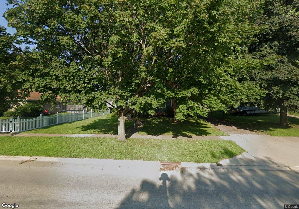
513 N College Ave Geneseo, IL 61254
Estimated Value: $174,613 - $180,000
4
Beds
--
Bath
1,744
Sq Ft
$102/Sq Ft
Est. Value
About This Home
This home is located at 513 N College Ave, Geneseo, IL 61254 and is currently estimated at $178,153, approximately $102 per square foot. 513 N College Ave is a home located in Henry County with nearby schools including Geneseo High School and St. Malachy School.
Ownership History
Date
Name
Owned For
Owner Type
Purchase Details
Closed on
Feb 19, 2025
Sold by
Plumley Janice K
Bought by
Yoder Joshua David
Current Estimated Value
Home Financials for this Owner
Home Financials are based on the most recent Mortgage that was taken out on this home.
Original Mortgage
$140,000
Outstanding Balance
$139,171
Interest Rate
6.93%
Mortgage Type
New Conventional
Estimated Equity
$38,982
Create a Home Valuation Report for This Property
The Home Valuation Report is an in-depth analysis detailing your home's value as well as a comparison with similar homes in the area
Home Values in the Area
Average Home Value in this Area
Purchase History
| Date | Buyer | Sale Price | Title Company |
|---|---|---|---|
| Yoder Joshua David | $175,000 | None Listed On Document |
Source: Public Records
Mortgage History
| Date | Status | Borrower | Loan Amount |
|---|---|---|---|
| Open | Yoder Joshua David | $140,000 |
Source: Public Records
Tax History Compared to Growth
Tax History
| Year | Tax Paid | Tax Assessment Tax Assessment Total Assessment is a certain percentage of the fair market value that is determined by local assessors to be the total taxable value of land and additions on the property. | Land | Improvement |
|---|---|---|---|---|
| 2024 | $3,171 | $50,015 | $7,418 | $42,597 |
| 2023 | $2,741 | $45,551 | $6,756 | $38,795 |
| 2022 | $2,546 | $42,334 | $6,279 | $36,055 |
| 2021 | $2,472 | $41,261 | $6,120 | $35,141 |
| 2020 | $2,468 | $41,644 | $6,177 | $35,467 |
| 2019 | $2,382 | $41,181 | $6,108 | $35,073 |
| 2018 | $2,212 | $38,923 | $5,773 | $33,150 |
| 2017 | $2,059 | $37,937 | $5,627 | $32,310 |
| 2016 | $2,125 | $36,975 | $5,484 | $31,491 |
| 2015 | $2,333 | $36,901 | $5,473 | $31,428 |
| 2013 | $2,333 | $36,209 | $5,370 | $30,839 |
Source: Public Records
Map
Nearby Homes
- 519 N College Ave
- 505 N College Ave
- 311 W Wells St
- 315 W Wells St
- 514 N Vail St
- 527 N College Ave
- 516 N Vail St
- 524 N Vail St
- 323 W Wells St
- 512 N College Ave
- 508 N College Ave
- 535 N College Ave
- 532 N Vail St
- 429 N College Ave
- 428 N Vail St
- 541 N College Ave
- 538 N Vail St
- 430 N College Ave
- 423 N College Ave
- 401 W Wells St