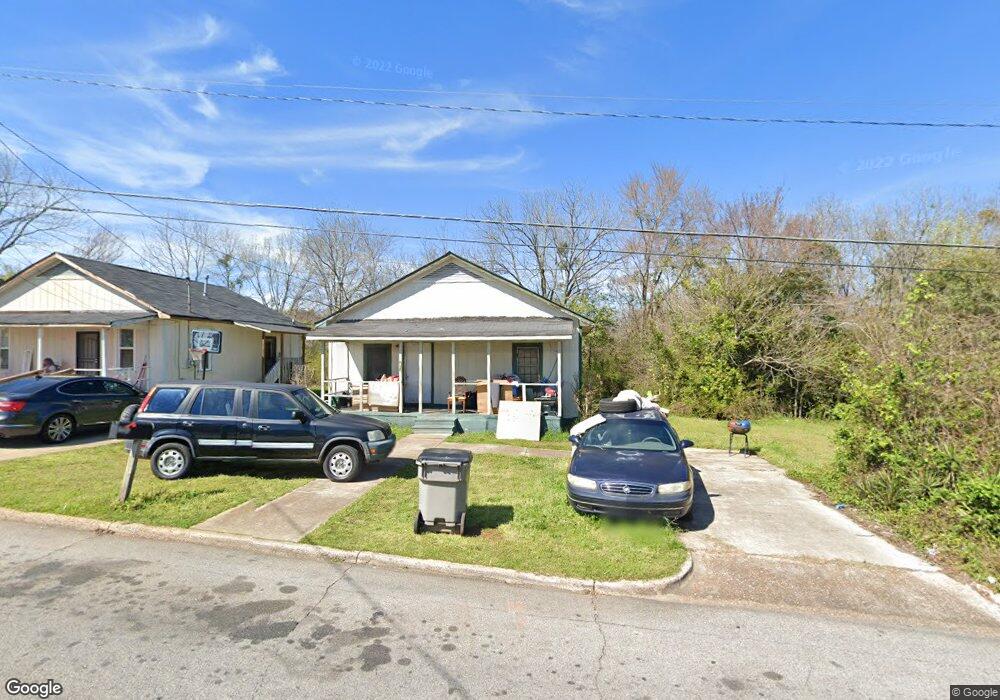
513 Revis St Lagrange, GA 30241
Estimated Value: $52,977 - $112,000
2
Beds
1
Bath
784
Sq Ft
$94/Sq Ft
Est. Value
About This Home
This home is located at 513 Revis St, Lagrange, GA 30241 and is currently estimated at $73,994, approximately $94 per square foot. 513 Revis St is a home located in Troup County with nearby schools including Hollis Hand Elementary School, Franklin Forest Elementary School, and Ethel W. Kight Elementary School.
Ownership History
Date
Name
Owned For
Owner Type
Purchase Details
Closed on
Nov 1, 2016
Sold by
Ford Charlie
Bought by
Parkerson Scott and Davis Edgar
Current Estimated Value
Purchase Details
Closed on
Jan 12, 1993
Sold by
Goodson Donna D Etal
Bought by
Ford Charlie and Ford Minnie
Purchase Details
Closed on
Feb 28, 1985
Sold by
Daniel Elizabeth Bell
Bought by
Goodson Donna D Etal
Purchase Details
Closed on
Dec 30, 1980
Sold by
Daniel T Alton Jr Etal
Bought by
Daniel Elizabeth Bell
Purchase Details
Closed on
Oct 1, 1965
Sold by
Harmon Fay
Bought by
Daniel T Alton Jr Etal
Create a Home Valuation Report for This Property
The Home Valuation Report is an in-depth analysis detailing your home's value as well as a comparison with similar homes in the area
Purchase History
| Date | Buyer | Sale Price | Title Company |
|---|---|---|---|
| Parkerson Scott | $30,000 | -- | |
| Ford Charlie | $34,000 | -- | |
| Goodson Donna D Etal | -- | -- | |
| Daniel Elizabeth Bell | -- | -- | |
| Daniel T Alton Jr Etal | -- | -- |
Source: Public Records
Tax History
| Year | Tax Paid | Tax Assessment Tax Assessment Total Assessment is a certain percentage of the fair market value that is determined by local assessors to be the total taxable value of land and additions on the property. | Land | Improvement |
|---|---|---|---|---|
| 2025 | $391 | $14,320 | $2,120 | $12,200 |
| 2024 | $368 | $13,480 | $2,120 | $11,360 |
| 2023 | $325 | $11,920 | $2,120 | $9,800 |
| 2022 | $317 | $11,360 | $2,120 | $9,240 |
| 2021 | $292 | $9,680 | $1,400 | $8,280 |
| 2020 | $292 | $9,680 | $1,400 | $8,280 |
| 2019 | $274 | $9,080 | $1,400 | $7,680 |
| 2018 | $274 | $9,080 | $1,400 | $7,680 |
| 2017 | $94 | $9,080 | $1,400 | $7,680 |
| 2016 | $276 | $9,155 | $1,452 | $7,703 |
| 2015 | $277 | $9,155 | $1,452 | $7,703 |
| 2014 | $265 | $8,750 | $1,452 | $7,298 |
| 2013 | -- | $8,646 | $1,452 | $7,194 |
Source: Public Records
Map
Nearby Homes
Your Personal Tour Guide
Ask me questions while you tour the home.