513 Thurmond Cir Statham, GA 30666
Estimated Value: $373,000 - $519,000
3
Beds
2
Baths
3,424
Sq Ft
$122/Sq Ft
Est. Value
About This Home
This home is located at 513 Thurmond Cir, Statham, GA 30666 and is currently estimated at $416,493, approximately $121 per square foot. 513 Thurmond Cir is a home located in Barrow County with nearby schools including Statham Elementary School, Bear Creek Middle School, and Winder-Barrow High School.
Ownership History
Date
Name
Owned For
Owner Type
Purchase Details
Closed on
Jul 15, 1994
Sold by
Thurmond Matthew and Thurmond Otis
Bought by
Thurmond Michael J and Thurmond Christy E
Current Estimated Value
Home Financials for this Owner
Home Financials are based on the most recent Mortgage that was taken out on this home.
Original Mortgage
$53,500
Interest Rate
8.74%
Create a Home Valuation Report for This Property
The Home Valuation Report is an in-depth analysis detailing your home's value as well as a comparison with similar homes in the area
Home Values in the Area
Average Home Value in this Area
Purchase History
| Date | Buyer | Sale Price | Title Company |
|---|---|---|---|
| Thurmond Michael J | $55,000 | -- | |
| Thurmond Michael J A | -- | -- |
Source: Public Records
Mortgage History
| Date | Status | Borrower | Loan Amount |
|---|---|---|---|
| Closed | Thurmond Michael J A | $53,500 |
Source: Public Records
Tax History Compared to Growth
Tax History
| Year | Tax Paid | Tax Assessment Tax Assessment Total Assessment is a certain percentage of the fair market value that is determined by local assessors to be the total taxable value of land and additions on the property. | Land | Improvement |
|---|---|---|---|---|
| 2024 | $1,850 | $85,664 | $17,840 | $67,824 |
| 2023 | $1,426 | $85,664 | $17,840 | $67,824 |
| 2022 | $1,538 | $60,217 | $17,840 | $42,377 |
| 2021 | $1,537 | $57,257 | $12,605 | $44,652 |
| 2020 | $1,468 | $54,418 | $13,558 | $40,860 |
| 2019 | $1,490 | $54,418 | $13,558 | $40,860 |
| 2018 | $1,463 | $54,418 | $13,558 | $40,860 |
| 2017 | $1,374 | $47,188 | $13,558 | $33,630 |
| 2016 | $1,255 | $47,188 | $13,558 | $33,630 |
| 2015 | $1,261 | $47,188 | $13,558 | $33,630 |
| 2014 | $1,116 | $40,274 | $6,644 | $33,630 |
| 2013 | -- | $38,125 | $6,643 | $31,481 |
Source: Public Records
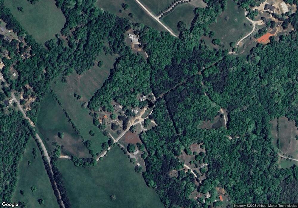
Map
Nearby Homes
- 3845 S Highway 82
- 0 Old Hunter Rd Unit TRACT 5
- 0 Old Hunter Rd Unit TRACT 3 10552618
- 126 Old Indian Trail
- 0 Georgia 330
- 310 Jacobs Ln
- 0 Old Hunter Road Tract 3
- 0 Old Hunter Road Tract 5
- 1914 Hearthstone Ct
- 1916 Hearthstone Ct
- 1917 Hearthstone Ct
- 3036 Johnson-Hale Rd
- 308 Kinsley Way
- 1642 White Oak Dr
- 1415 Red Oak Way
- 2200 Lebanon Church Lot 3 Rd
- 1955 Paynes Point
- 1423 Red Oak Way
- 122 Kinsley Way
- 519 Thurmond Cir
- 508 Thurmond Cir
- 521 Thurmond Cir
- 525 Thurmond Cir
- 496 Thurmond Cir
- 0 Thurmond Cir Unit 3241954
- 0 Thurmond Cir Unit 7274020
- 0 Thurmond Cir Unit 3271273
- 0 Thurmond Cir Unit 3136768
- 456 Thurmond Cir
- 467 Thurmond Cir
- 501 Jones Rd
- 2317 Highway 82
- 459 Thurmond Cir
- 459 Thurmond Cir
- 451 Thurmond Cir
- 511 Jones Rd
- 502 Jones Rd
- 517 Jones Rd
- 510 Jones Rd