Estimated Value: $468,000 - $480,000
2
Beds
1
Bath
1,028
Sq Ft
$462/Sq Ft
Est. Value
About This Home
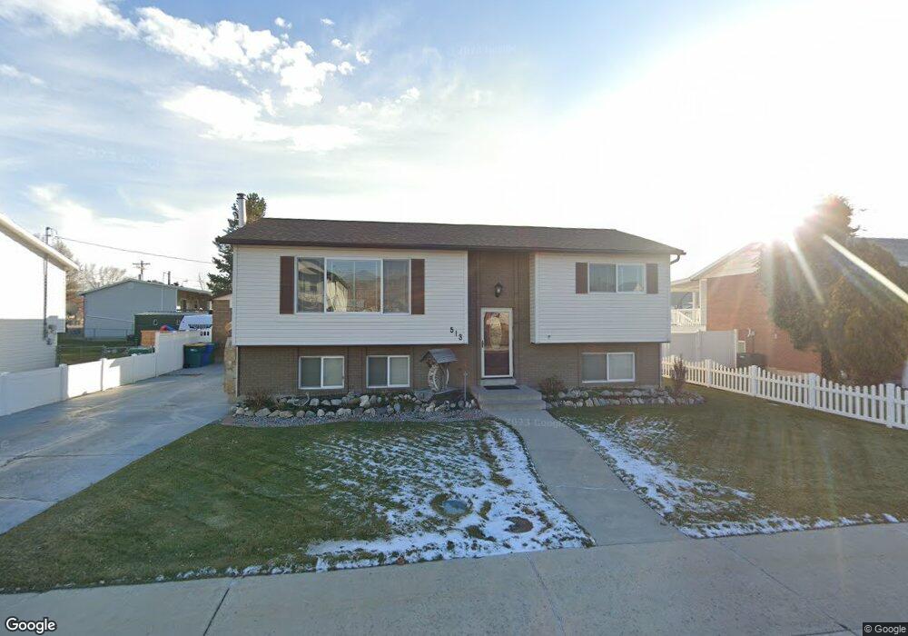
This home is located at 513 W 1200 N, Lehi, UT 84043 and is currently estimated at $474,784, approximately $461 per square foot. 513 W 1200 N is a home located in Utah County with nearby schools including Lehi Elementary School, Lehi Junior High School, and Lehi High School.
Ownership History
Date
Name
Owned For
Owner Type
Purchase Details
Closed on
Feb 27, 2024
Sold by
Carlton Steven R
Bought by
Steven Carlton Trust and Carlton
Current Estimated Value
Purchase Details
Closed on
Feb 28, 2017
Sold by
Carlton Steven and Carlton Kellie
Bought by
Carlton Steven R
Home Financials for this Owner
Home Financials are based on the most recent Mortgage that was taken out on this home.
Original Mortgage
$125,000
Interest Rate
4.09%
Mortgage Type
New Conventional
Purchase Details
Closed on
Apr 25, 2003
Sold by
Carlton Steven R and Carlton Kellie
Bought by
Carlton Steven and Carlton Kellie
Home Financials for this Owner
Home Financials are based on the most recent Mortgage that was taken out on this home.
Original Mortgage
$92,500
Interest Rate
5.72%
Mortgage Type
Purchase Money Mortgage
Create a Home Valuation Report for This Property
The Home Valuation Report is an in-depth analysis detailing your home's value as well as a comparison with similar homes in the area
Home Values in the Area
Average Home Value in this Area
Purchase History
| Date | Buyer | Sale Price | Title Company |
|---|---|---|---|
| Steven Carlton Trust | -- | None Listed On Document | |
| Carlton Steven R | -- | First American Title | |
| Carlton Steven | -- | First American Title Co |
Source: Public Records
Mortgage History
| Date | Status | Borrower | Loan Amount |
|---|---|---|---|
| Previous Owner | Carlton Steven R | $125,000 | |
| Previous Owner | Carlton Steven | $92,500 |
Source: Public Records
Tax History Compared to Growth
Tax History
| Year | Tax Paid | Tax Assessment Tax Assessment Total Assessment is a certain percentage of the fair market value that is determined by local assessors to be the total taxable value of land and additions on the property. | Land | Improvement |
|---|---|---|---|---|
| 2025 | $1,949 | $245,080 | $217,200 | $228,400 |
| 2024 | $1,949 | $228,030 | $0 | $0 |
| 2023 | $1,817 | $230,835 | $0 | $0 |
| 2022 | $1,831 | $225,555 | $0 | $0 |
| 2021 | $1,619 | $301,600 | $107,100 | $194,500 |
| 2020 | $1,526 | $281,000 | $99,200 | $181,800 |
| 2019 | $1,352 | $258,800 | $96,000 | $162,800 |
| 2018 | $1,351 | $244,500 | $87,800 | $156,700 |
| 2017 | $1,308 | $125,785 | $0 | $0 |
| 2016 | $1,193 | $106,480 | $0 | $0 |
| 2015 | $1,240 | $105,050 | $0 | $0 |
| 2014 | $1,249 | $105,160 | $0 | $0 |
Source: Public Records
Map
Nearby Homes
- 996 N 200 W
- 1150 N 200 W Unit 6
- 443 W 820 N
- 155 W State St Unit TRLR 3
- 1301 N 900 W Unit 12
- 68 W State St
- 1329 N 100 E Unit 21
- 902 W 1500 N
- 7 E State St
- 1295 N 190 E
- 578 N Woods Dr
- 1817 W Bad Rock Cir
- 1755 N 250 W
- 1094 W 1425 N
- 1610 N 1125 W
- 4561 N McKechnie Way Dr Unit 1119
- 1011 W Mountain Way Unit 316
- 1132 Titan Dr
- 1032 Titan Dr
- 143 W 300 N
- 521 W 1200 N
- 507 W 1200 N
- 1183 N 500 W
- 502 W 1200 N
- 3772 W 1200 N
- 3730 W 1200 N
- 3779 W 1200 N Unit 144
- 3814 W 1200 N Unit 138
- 3826 W 1200 N Unit 139
- 3763 W 1200 N Unit 145
- 3707 W 1200 N Unit 149
- 3702 W 1200 N Unit 130
- 1165 N 500 W
- 1167 N 500 W
- 512 W 1200 N
- 1265 N 500 W
- 551 W 1200 N
- 1186 N 500 W
- 1190 N 500 W
- 610 W 1150 N