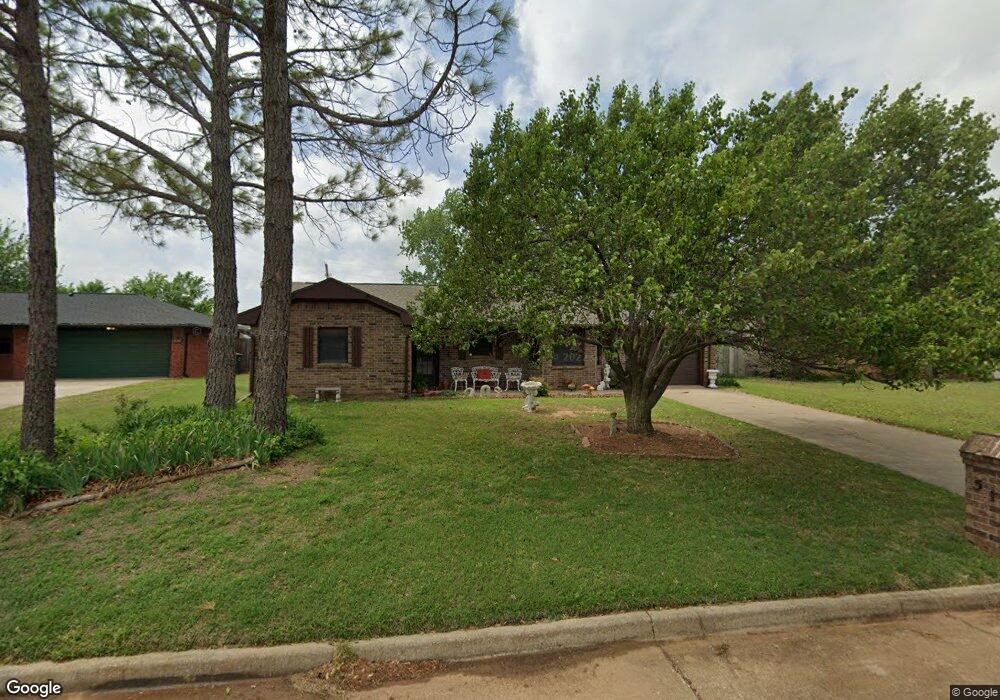
513 Westside Dr Duncan, OK 73533
Estimated Value: $114,000 - $145,331
3
Beds
2
Baths
1,280
Sq Ft
$105/Sq Ft
Est. Value
About This Home
This home is located at 513 Westside Dr, Duncan, OK 73533 and is currently estimated at $134,583, approximately $105 per square foot. 513 Westside Dr is a home located in Stephens County with nearby schools including Mark Twain Elementary School, Duncan Middle School, and Duncan High School.
Ownership History
Date
Name
Owned For
Owner Type
Purchase Details
Closed on
Sep 15, 2022
Sold by
Burton Judy Lyn
Bought by
Burton Judy Lyn and Delburton Caleb Del
Current Estimated Value
Purchase Details
Closed on
Aug 31, 2020
Sold by
Chappel Dennis F and Chappel Trudy Lynne
Bought by
Terrill Shelly D
Home Financials for this Owner
Home Financials are based on the most recent Mortgage that was taken out on this home.
Original Mortgage
$57,798
Interest Rate
3%
Mortgage Type
Commercial
Create a Home Valuation Report for This Property
The Home Valuation Report is an in-depth analysis detailing your home's value as well as a comparison with similar homes in the area
Purchase History
| Date | Buyer | Sale Price | Title Company |
|---|---|---|---|
| Burton Judy Lyn | -- | None Listed On Document | |
| Burton Judy Lyn | -- | None Listed On Document | |
| Terrill Shelly D | $70,000 | Stephens Co Abstract Co |
Source: Public Records
Mortgage History
| Date | Status | Borrower | Loan Amount |
|---|---|---|---|
| Previous Owner | Terrill Shelly D | $57,798 |
Source: Public Records
Tax History
| Year | Tax Paid | Tax Assessment Tax Assessment Total Assessment is a certain percentage of the fair market value that is determined by local assessors to be the total taxable value of land and additions on the property. | Land | Improvement |
|---|---|---|---|---|
| 2025 | $684 | $9,110 | $835 | $8,275 |
| 2024 | $561 | $8,587 | $835 | $7,752 |
| 2023 | $561 | $8,587 | $835 | $7,752 |
| 2022 | $603 | $8,337 | $835 | $7,502 |
| 2021 | $584 | $7,859 | $835 | $7,024 |
| 2020 | $532 | $7,157 | $835 | $6,322 |
| 2019 | $515 | $6,949 | $835 | $6,114 |
| 2018 | $574 | $7,450 | $835 | $6,615 |
| 2017 | $575 | $7,691 | $835 | $6,856 |
| 2016 | $577 | $7,794 | $821 | $6,973 |
| 2015 | $573 | $7,568 | $818 | $6,750 |
| 2014 | $573 | $7,347 | $814 | $6,533 |
Source: Public Records
Map
Nearby Homes
- 2622 Highcrest Dr
- 602 Fieldcrest Dr
- TBD S 27th St
- 208 N 29th St
- 0 W Beech Ave
- 261 N 29th St
- 2110 W Main St
- 2150 W Main St
- 1715 S 42nd St
- 209 N 22nd St
- 2086 N 44th St
- 1377 Drexal Place
- 2006 W Oak Ave
- 174831 N 2844 Rd
- 2210 Western Dr
- 1905 W Ash Ave
- 4549 W Seminole Rd
- 4705 W Seminole Rd
- 1705 W Ash Ave
- 123 N Highway 81
- 509 Westside Dr
- 605 Westside Dr
- 509 509 Westside Dr
- 609 609 Nw Westside Dr
- 609 Westside Dr
- 679 Westside Dr
- 744 Westside Dr
- 514 Westside Dr
- 606 Westside Dr
- 613 Westside Dr
- 510 Westside Dr
- 610 Westside Dr
- 614 Westside Dr
- 617 Westside Dr
- 618 Westside Dr
- 272422 E 1710 Rd
- 622 Westside Dr
- 705 Westside Dr
- 824 Westside Dr
- 706 Westside Dr
Your Personal Tour Guide
Ask me questions while you tour the home.