5130 Paw Paw Rd Cambridge, MD 21613
Estimated Value: $592,000 - $721,000
--
Bed
1
Bath
1,306
Sq Ft
$489/Sq Ft
Est. Value
About This Home
This home is located at 5130 Paw Paw Rd, Cambridge, MD 21613 and is currently estimated at $638,699, approximately $489 per square foot. 5130 Paw Paw Rd is a home located in Dorchester County with nearby schools including Maple Elementary School, Mace's Lane Middle School, and Cambridge-South Dorchester High School.
Ownership History
Date
Name
Owned For
Owner Type
Purchase Details
Closed on
May 15, 2023
Sold by
Simmons Christie L
Bought by
Pavlik Ronald A
Current Estimated Value
Home Financials for this Owner
Home Financials are based on the most recent Mortgage that was taken out on this home.
Original Mortgage
$461,200
Outstanding Balance
$448,211
Interest Rate
6.32%
Mortgage Type
New Conventional
Estimated Equity
$190,488
Purchase Details
Closed on
Jul 31, 1997
Sold by
Spanagel Robert J
Bought by
Simmons Christie L
Purchase Details
Closed on
Jun 16, 1981
Sold by
Ellis Audrey R
Bought by
Spanagel Robert J And
Create a Home Valuation Report for This Property
The Home Valuation Report is an in-depth analysis detailing your home's value as well as a comparison with similar homes in the area
Home Values in the Area
Average Home Value in this Area
Purchase History
| Date | Buyer | Sale Price | Title Company |
|---|---|---|---|
| Pavlik Ronald A | $580,000 | None Listed On Document | |
| Simmons Christie L | $178,000 | -- | |
| Spanagel Robert J And | $79,100 | -- |
Source: Public Records
Mortgage History
| Date | Status | Borrower | Loan Amount |
|---|---|---|---|
| Open | Pavlik Ronald A | $461,200 | |
| Closed | Simmons Christie L | -- |
Source: Public Records
Tax History Compared to Growth
Tax History
| Year | Tax Paid | Tax Assessment Tax Assessment Total Assessment is a certain percentage of the fair market value that is determined by local assessors to be the total taxable value of land and additions on the property. | Land | Improvement |
|---|---|---|---|---|
| 2025 | $4,411 | $381,000 | $244,300 | $136,700 |
| 2024 | $4,042 | $369,567 | $0 | $0 |
| 2023 | $4,042 | $358,133 | $0 | $0 |
| 2022 | $3,915 | $346,700 | $244,300 | $102,400 |
| 2021 | $3,915 | $346,700 | $244,300 | $102,400 |
| 2020 | $3,915 | $346,700 | $244,300 | $102,400 |
| 2019 | $3,928 | $347,800 | $244,300 | $103,500 |
| 2018 | $3,900 | $345,333 | $0 | $0 |
| 2017 | $3,784 | $342,867 | $0 | $0 |
| 2016 | -- | $340,400 | $0 | $0 |
| 2015 | -- | $340,400 | $0 | $0 |
| 2014 | -- | $340,400 | $0 | $0 |
Source: Public Records
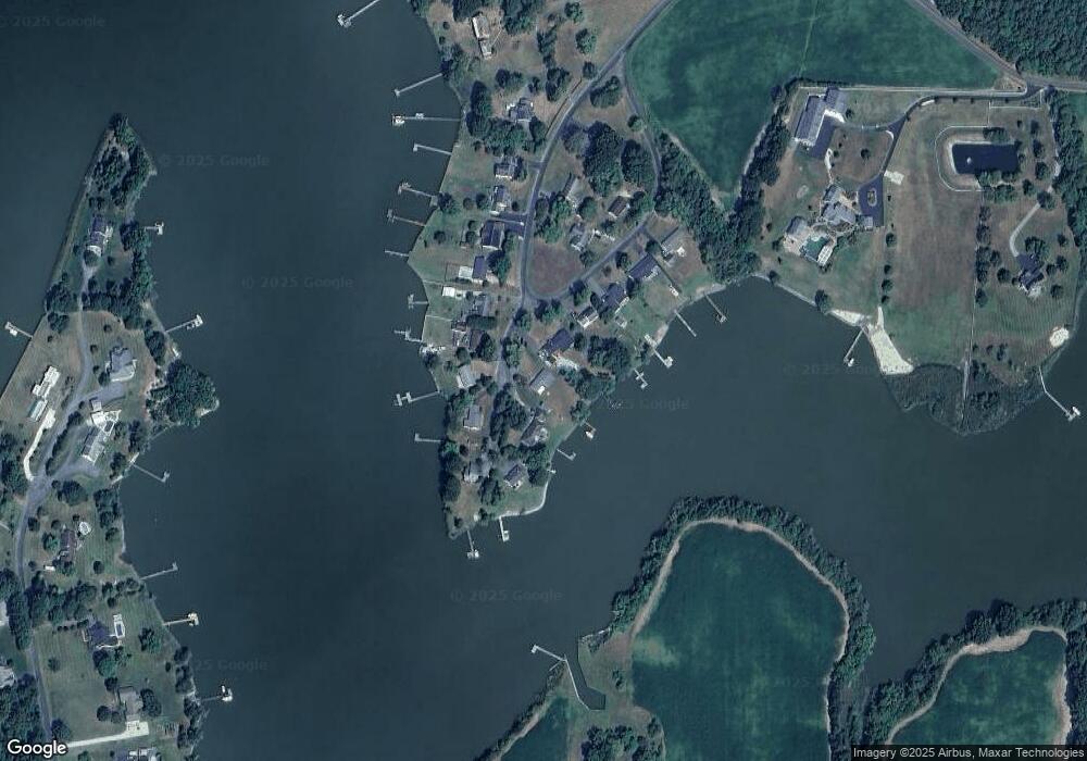
Map
Nearby Homes
- 5210 Wilson Rd
- 0 Silver Goose Rd Unit Lot WP001
- 2040 Dailsville Rd
- 4910 Gregory Rd
- 2191 Winterberry Ln
- 2189 Winterberry Ln
- 2212 Winterberry Ln
- 1622 Town Point Rd
- 0 N S Dailsville Rd
- 1701 Perseus Rd
- 2365 Church Creek Rd
- 5219 Heron Rd
- 5223 Heron Rd
- 5214 Heron Rd
- 5216 Heron Rd
- 5229 Heron Rd
- 5226 Heron Rd
- 1529 Deep Water Rd
- 1609 Heliport Rd
- 2420 Cambridge Beltway
- 5130 Paw Rd
- 5128 Paw Acres
- 5128 Paw Paw Rd
- 5132 Paw Paw Rd
- 5128 Paw Rd
- 5126 Paw Paw Rd
- 5138 Paw Paw Rd
- 5140 Paw Paw Rd
- 5134 Paw Rd
- 5134 Paw Paw Rd
- 5142 Paw Paw Rd
- 5144 Paw Paw Rd
- 5124 Paw Paw Rd
- 5136 Paw Paw Rd
- 5144 Paw Paw Rd
- 5146 Paw Paw Rd
- 5146 Paw Paw Rd
- 5122 Paw Paw Rd
- 5149 Paw Paw Rd
- 5149 Paw Rd