51300 Snowberry Rd New Carlisle, IN 46552
Estimated Value: $505,000 - $716,000
3
Beds
2
Baths
3,326
Sq Ft
$186/Sq Ft
Est. Value
About This Home
This home is located at 51300 Snowberry Rd, New Carlisle, IN 46552 and is currently estimated at $619,903, approximately $186 per square foot. 51300 Snowberry Rd is a home located in St. Joseph County with nearby schools including New Prairie High School.
Ownership History
Date
Name
Owned For
Owner Type
Purchase Details
Closed on
Apr 30, 2014
Sold by
Millar Gordon J
Bought by
Millar Gordon J and Millar Casey A
Current Estimated Value
Purchase Details
Closed on
Sep 3, 2008
Sold by
Millar Goldon J
Bought by
Miller Gordon J
Create a Home Valuation Report for This Property
The Home Valuation Report is an in-depth analysis detailing your home's value as well as a comparison with similar homes in the area
Home Values in the Area
Average Home Value in this Area
Purchase History
| Date | Buyer | Sale Price | Title Company |
|---|---|---|---|
| Millar Gordon J | -- | -- | |
| Miller Gordon J | -- | Meridian Title Corp | |
| Millar Gordon J | -- | Meridian Title Corp | |
| Milar Gordonn J | -- | Meridian Title Corp |
Source: Public Records
Tax History Compared to Growth
Tax History
| Year | Tax Paid | Tax Assessment Tax Assessment Total Assessment is a certain percentage of the fair market value that is determined by local assessors to be the total taxable value of land and additions on the property. | Land | Improvement |
|---|---|---|---|---|
| 2024 | $7,114 | $436,700 | $161,900 | $274,800 |
| 2023 | $6,585 | $427,700 | $148,400 | $279,300 |
| 2022 | $6,585 | $414,900 | $134,100 | $280,800 |
| 2021 | $5,681 | $321,700 | $66,300 | $255,400 |
| 2020 | $5,777 | $321,600 | $65,900 | $255,700 |
| 2019 | $5,967 | $332,100 | $76,100 | $256,000 |
| 2018 | $5,770 | $337,500 | $77,900 | $259,600 |
| 2017 | $5,795 | $340,300 | $86,700 | $253,600 |
| 2016 | $6,400 | $345,700 | $90,700 | $255,000 |
| 2014 | $5,283 | $320,700 | $94,000 | $226,700 |
| 2013 | $4,765 | $310,100 | $83,400 | $226,700 |
Source: Public Records
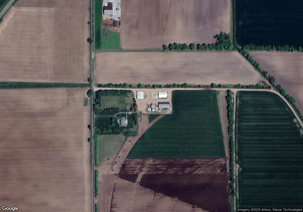
Map
Nearby Homes
- 0 Trail Unit 202444357
- 6475 Olive Branch Rd
- 19196 Cleveland Ave
- 32670 Chicago Trail
- 0 Mount Zion Rd
- 33260 State Line Rd
- 53300 Rosewood Rd
- 0 Us 12 W
- 4935 Curran Rd
- 51690 Inverness Dr
- 0 Wintergreen Rd
- The Ara Plan at Westwood Shores at Elbel
- The Gipper Plan at Westwood Shores at Elbel
- The Rockne Plan at Westwood Shores at Elbel
- The Badin Plan at Westwood Shores at Elbel
- The Sorin Plan at Westwood Shores at Elbel
- The Kelley Plan at Westwood Shores at Elbel
- The Leahy Plan at Westwood Shores at Elbel
- 54983 Tulip Rd
- 5320 W US Highway 12