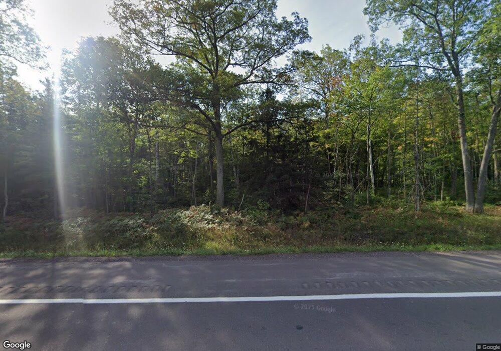
51310 Us Highway 41 Hancock, MI 49930
Estimated Value: $364,364 - $550,000
3
Beds
2
Baths
2,336
Sq Ft
$196/Sq Ft
Est. Value
About This Home
This home is located at 51310 Us Highway 41, Hancock, MI 49930 and is currently estimated at $457,182, approximately $195 per square foot. 51310 Us Highway 41 is a home with nearby schools including Barkell Elementary School, Hancock Middle/High School, and Copper Island Academy.
Ownership History
Date
Name
Owned For
Owner Type
Purchase Details
Closed on
Dec 1, 2001
Bought by
Simonson Nick and Simonson Joni
Current Estimated Value
Create a Home Valuation Report for This Property
The Home Valuation Report is an in-depth analysis detailing your home's value as well as a comparison with similar homes in the area
Home Values in the Area
Average Home Value in this Area
Purchase History
| Date | Buyer | Sale Price | Title Company |
|---|---|---|---|
| Simonson Nick | -- | -- |
Source: Public Records
Tax History Compared to Growth
Tax History
| Year | Tax Paid | Tax Assessment Tax Assessment Total Assessment is a certain percentage of the fair market value that is determined by local assessors to be the total taxable value of land and additions on the property. | Land | Improvement |
|---|---|---|---|---|
| 2025 | $2,187 | $209,214 | $0 | $0 |
| 2024 | $847 | $150,448 | $0 | $0 |
| 2023 | $808 | $124,809 | $0 | $0 |
| 2022 | $2,201 | $116,580 | $0 | $0 |
| 2021 | $2,128 | $109,752 | $0 | $0 |
| 2020 | $2,328 | $117,934 | $0 | $0 |
| 2019 | $2,159 | $106,175 | $0 | $0 |
| 2018 | $2,127 | $91,776 | $0 | $0 |
| 2017 | $2,005 | $95,067 | $0 | $0 |
| 2016 | -- | $64,366 | $0 | $0 |
| 2015 | -- | $64,366 | $0 | $0 |
| 2014 | -- | $64,366 | $0 | $0 |
Source: Public Records
Map
Nearby Homes
- TBD B Gorton Rd
- TBD F Boston Rd
- 50739 5th St
- TBD Lake Annie Cross Cut Rd
- tbd M203
- 49962 Rosenlund Rd
- Lot 1 Airport Rd Unit Co Rd 35B
- TBD5 Dolomite Dr
- TBD6 Dolomite Dr
- TBD8 Dolomite Dr
- TBD4 Dolomite Dr
- TBD2 Dolomite Dr
- TBD16 Dolomite Dr
- TBD14 Dolomite Dr
- TBD7 Dolomite Dr
- TBD15 Dolomite Dr
- TBD3 Dolomite Dr
- TBD1 Dolomite Dr
- TBD13 Dolomite Dr
- TBD 12 Dolomite Dr
- 51298 Us Highway 41
- 51315 Us Highway 41
- 51357 Us Highway 41
- 51357 Us Highway 41
- 51401 Us Highway 41
- 51478 Gorton Rd
- 51525 Boston Rd
- 51435 Us Highway 41
- 51435 Us Highway 41
- 21675 N Number 9 Rd
- 21306 Huron St
- 21306 Huron St
- 50934 1st St
- 21764 Number 9 Rd
- 21764 Number 9 Rd
- 21205 Number 9 Rd
- 21205 Number 9 Rd
- 50928 1st St
- 50928 1st St
- 50830 1st St
