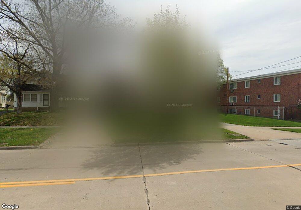
5133 Lee Rd Maple Heights, OH 44137
Estimated Value: $91,705 - $123,000
2
Beds
1
Bath
896
Sq Ft
$122/Sq Ft
Est. Value
About This Home
This home is located at 5133 Lee Rd, Maple Heights, OH 44137 and is currently estimated at $109,176, approximately $121 per square foot. 5133 Lee Rd is a home located in Cuyahoga County with nearby schools including Abraham Lincoln Elementary School, Rockside/ J.F. Kennedy School, and Barack Obama School.
Ownership History
Date
Name
Owned For
Owner Type
Purchase Details
Closed on
Aug 15, 1985
Sold by
Thomas Herbert L
Bought by
Thomas Angela B
Current Estimated Value
Purchase Details
Closed on
May 1, 1980
Sold by
L Thomas Landscape Garden H
Bought by
Thomas Herbert L
Purchase Details
Closed on
Dec 12, 1977
Sold by
Marlow Michael J
Bought by
L Thomas Landscape Garden H
Purchase Details
Closed on
Jan 1, 1975
Bought by
Marlow Michael J
Create a Home Valuation Report for This Property
The Home Valuation Report is an in-depth analysis detailing your home's value as well as a comparison with similar homes in the area
Home Values in the Area
Average Home Value in this Area
Purchase History
| Date | Buyer | Sale Price | Title Company |
|---|---|---|---|
| Thomas Angela B | -- | -- | |
| Thomas Herbert L | -- | -- | |
| L Thomas Landscape Garden H | $15,000 | -- | |
| Marlow Michael J | -- | -- |
Source: Public Records
Tax History
| Year | Tax Paid | Tax Assessment Tax Assessment Total Assessment is a certain percentage of the fair market value that is determined by local assessors to be the total taxable value of land and additions on the property. | Land | Improvement |
|---|---|---|---|---|
| 2024 | $2,311 | $23,100 | $6,790 | $16,310 |
| 2023 | $1,681 | $13,730 | $4,660 | $9,070 |
| 2022 | $1,676 | $13,720 | $4,660 | $9,070 |
| 2021 | $1,776 | $13,720 | $4,660 | $9,070 |
| 2020 | $1,543 | $10,400 | $3,540 | $6,860 |
| 2019 | $1,529 | $29,700 | $10,100 | $19,600 |
| 2018 | $1,532 | $10,400 | $3,540 | $6,860 |
| 2017 | $1,677 | $11,590 | $3,780 | $7,810 |
| 2016 | $1,620 | $11,590 | $3,780 | $7,810 |
| 2015 | $1,877 | $11,590 | $3,780 | $7,810 |
| 2014 | $1,877 | $15,440 | $5,040 | $10,400 |
Source: Public Records
Map
Nearby Homes
- 5062 Lee Rd
- 16351 Glenburn Ave
- 5210 Theodore St
- 16101 Raymond St
- 16174 Friend Ave
- 16241 Glenburn Ave
- 5204 Anthony St
- 5185 Anthony St
- 17282 Mccracken Rd
- 5082 Philip Ave
- 16706 Myrtle Ave
- 5212 Catherine St
- 16408 Highview Dr
- 16610 Priebe Ave
- 5246 Philip Ave
- 16307 Highview Dr
- 5231 Philip Ave
- 16907 Maple Heights Blvd
- 5031 Cato St
- 5177 Cato St
Your Personal Tour Guide
Ask me questions while you tour the home.