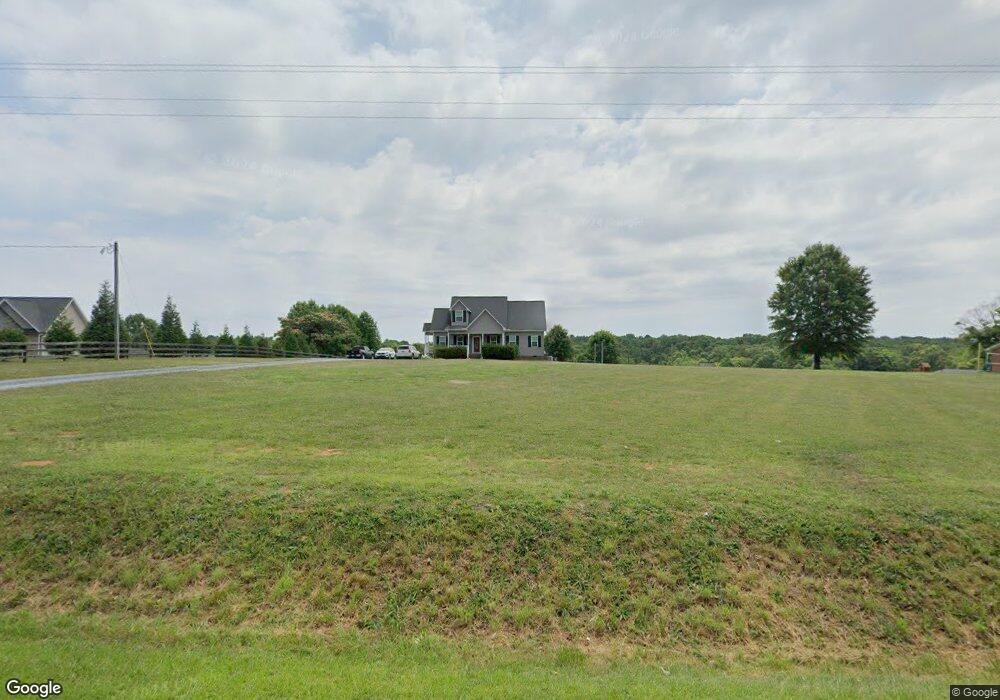
5133 Nc Highway 134 Asheboro, NC 27205
Estimated Value: $278,497 - $330,000
--
Bed
--
Bath
1,716
Sq Ft
$180/Sq Ft
Est. Value
About This Home
This home is located at 5133 Nc Highway 134, Asheboro, NC 27205 and is currently estimated at $308,624, approximately $179 per square foot. 5133 Nc Highway 134 is a home with nearby schools including Sycamore Elementary School, Seagrove Elementary School, and Southwestern Randolph Middle School.
Ownership History
Date
Name
Owned For
Owner Type
Purchase Details
Closed on
May 30, 2014
Sold by
Phil Burgess Construction Inc
Bought by
Bullard Michael L and Bullard Caroline M
Current Estimated Value
Home Financials for this Owner
Home Financials are based on the most recent Mortgage that was taken out on this home.
Original Mortgage
$154,400
Outstanding Balance
$123,359
Interest Rate
4.32%
Mortgage Type
USDA
Estimated Equity
$185,265
Purchase Details
Closed on
Feb 27, 2014
Sold by
Leslie Enterprises Inc
Bought by
Phil Burgess Construction Inc
Create a Home Valuation Report for This Property
The Home Valuation Report is an in-depth analysis detailing your home's value as well as a comparison with similar homes in the area
Home Values in the Area
Average Home Value in this Area
Purchase History
| Date | Buyer | Sale Price | Title Company |
|---|---|---|---|
| Bullard Michael L | $154,500 | None Available | |
| Phil Burgess Construction Inc | $14,500 | None Available |
Source: Public Records
Mortgage History
| Date | Status | Borrower | Loan Amount |
|---|---|---|---|
| Open | Bullard Michael L | $154,400 |
Source: Public Records
Tax History Compared to Growth
Tax History
| Year | Tax Paid | Tax Assessment Tax Assessment Total Assessment is a certain percentage of the fair market value that is determined by local assessors to be the total taxable value of land and additions on the property. | Land | Improvement |
|---|---|---|---|---|
| 2025 | $1,314 | $211,880 | $32,500 | $179,380 |
| 2024 | $1,314 | $211,880 | $32,500 | $179,380 |
| 2023 | $1,314 | $211,880 | $32,500 | $179,380 |
| 2022 | $1,139 | $151,350 | $22,500 | $128,850 |
| 2021 | $1,139 | $151,350 | $22,500 | $128,850 |
| 2020 | $1,139 | $151,350 | $22,500 | $128,850 |
| 2019 | $1,139 | $151,350 | $22,500 | $128,850 |
| 2018 | $990 | $131,560 | $17,000 | $114,560 |
| 2016 | $990 | $131,564 | $17,000 | $114,564 |
| 2015 | $993 | $131,564 | $17,000 | $114,564 |
Source: Public Records
Map
Nearby Homes
- 2484 Burney Rd
- 4026 Oak Tree Rd
- 4240 Nc Highway 134
- 5364 Pisgah Covered Bridge Rd
- 5500 Pisgah Covered Bridge Rd
- 1282 Little River Rd
- 197 Copples Rd
- 116 Bullins Ln
- 214 Vancroft St
- 5979 US Highway 220 S
- 0000 Boone Farm Rd
- 167 Drum St
- 206 W Edgewood Cir
- 0 Lisbon Rd
- 3162 Montclair Ct
- 4149 Happy Hollow Rd
- 5329 Seagrove Plank Rd
- 6342 Maple Springs Rd
- 6015 Zoo Pkwy
- 6009 Zoo Pkwy
- 5115 Nc Highway 134
- 5159 Nc Highway 134
- 5111 Nc Highway 134
- 5120 Nc Highway 134
- 5169 Nc Highway 134
- 5103 Nc Highway 134
- 5187 Nc Highway 134
- Tract C N Carolina 134
- 1 N Carolina 134
- 5064 Nc Highway 134
- 5061 Nc Highway 134
- 5046 Nc Highway 134 Unit 1
- 5046 Nc Highway 134
- 5224 Nc Highway 134
- 5046 N Carolina 134 Unit 1
- 2000 Burney Rd
- 2002 Burney Rd
- 5044 Nc Highway 134
- 5032 Nc Highway 134
- 5315 Nc Highway 134