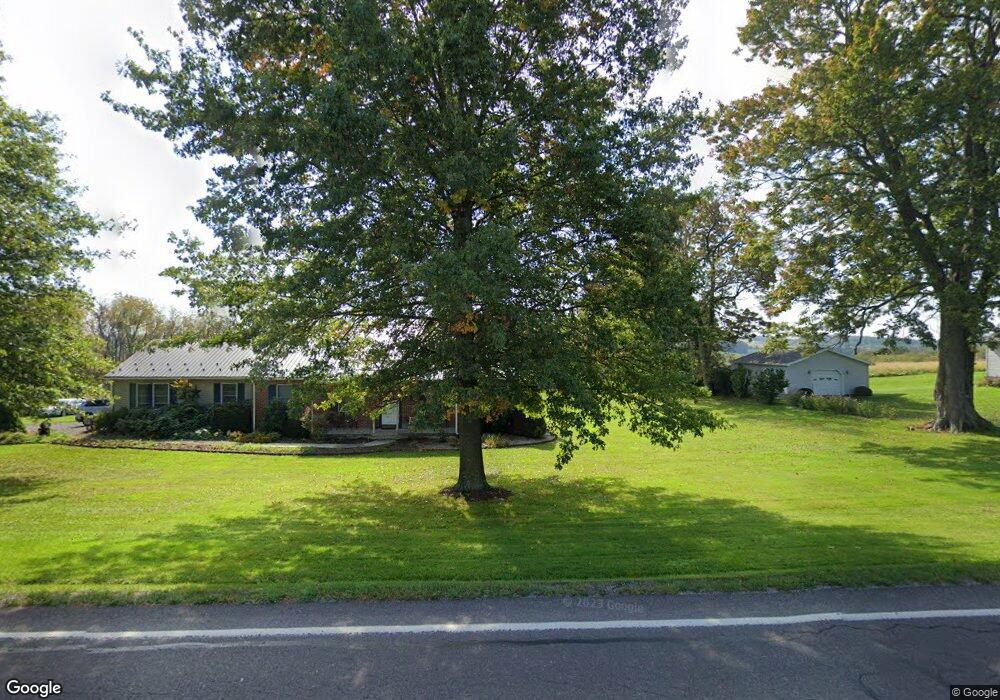
5133 Route 204 Selinsgrove, PA 17870
Estimated Value: $130,530 - $391,000
--
Bed
--
Bath
--
Sq Ft
1.43
Acres
About This Home
This home is located at 5133 Route 204, Selinsgrove, PA 17870 and is currently estimated at $283,883. 5133 Route 204 is a home located in Snyder County with nearby schools including Selinsgrove Area Elementary School, Selinsgrove Intermediate School, and Selinsgrove Area Middle School.
Ownership History
Date
Name
Owned For
Owner Type
Purchase Details
Closed on
Mar 22, 2025
Sold by
Maurer Darvin E and Maurer Lori A
Bought by
Maurer Darvin E and Maurer Lori A
Current Estimated Value
Create a Home Valuation Report for This Property
The Home Valuation Report is an in-depth analysis detailing your home's value as well as a comparison with similar homes in the area
Home Values in the Area
Average Home Value in this Area
Purchase History
| Date | Buyer | Sale Price | Title Company |
|---|---|---|---|
| Maurer Darvin E | -- | None Listed On Document | |
| Maurer Darvin E | -- | None Listed On Document |
Source: Public Records
Tax History Compared to Growth
Tax History
| Year | Tax Paid | Tax Assessment Tax Assessment Total Assessment is a certain percentage of the fair market value that is determined by local assessors to be the total taxable value of land and additions on the property. | Land | Improvement |
|---|---|---|---|---|
| 2025 | $3,423 | $32,250 | $4,190 | $28,060 |
| 2024 | $3,332 | $32,250 | $4,190 | $28,060 |
| 2023 | $1,058 | $32,250 | $4,190 | $28,060 |
| 2022 | $3,186 | $32,250 | $4,190 | $28,060 |
| 2021 | $3,186 | $32,250 | $4,190 | $28,060 |
| 2020 | $3,186 | $32,250 | $4,190 | $28,060 |
| 2019 | $3,186 | $32,250 | $4,190 | $28,060 |
| 2018 | $3,186 | $32,250 | $4,190 | $28,060 |
| 2017 | $3,154 | $32,250 | $4,190 | $28,060 |
| 2016 | $1,413 | $32,250 | $4,190 | $28,060 |
| 2015 | $104,962 | $32,250 | $4,190 | $28,060 |
| 2014 | $104,962 | $32,250 | $4,190 | $28,060 |
Source: Public Records
Map
Nearby Homes
- 5207 Pennsylvania 204
- 103 Pond Ln
- 00 Pond Ln
- 1109 Hollow Rd
- 2 Victory Ln
- 213 Rd
- 85 Old Colony Rd
- 4717 County Line Rd
- 1667&1679 Route 204
- 1211 Foxboro Rd
- 27 Kingswood Dr
- 139 Rainbow Dr
- 732 Salem Rd
- 90 Limerick Ln
- 88 Limerick Ln
- 86 Limerick Ln
- 84 Limerick Ln
- 1824 Smalsh Barrick
- 107 Saint Andrews Way
- 81 Saint Andrews Way
- 5171 Route 204
- 5207 Route 204
- 5093 Route 204
- 5064 Route 204
- 5224 Route 204
- 5009 Route 204
- 5279 Route 204
- 4990 Route 204
- 5297 Route 204
- 5314 Route 204
- 4967 Route 204
- 4936 Route 204
- 5354 Route 204
- 5380 Route 204
- 5380 Pennsylvania 204
- 229 Scrubby Hill Rd
- 5420 Route 204
- 265 Scrubby Hill Rd
- 4812 Route 204
- 5517 Route 204