5133 S Stevenson Rd Sheridan, MI 48884
Estimated Value: $400,000 - $1,407,000
--
Bed
--
Bath
--
Sq Ft
80.21
Acres
About This Home
This home is located at 5133 S Stevenson Rd, Sheridan, MI 48884 and is currently estimated at $810,939. 5133 S Stevenson Rd is a home located in Montcalm County with nearby schools including Central Montcalm Elementary School, Central Montcalm Upper Elementary School, and Central Montcalm Middle School.
Ownership History
Date
Name
Owned For
Owner Type
Purchase Details
Closed on
Jan 7, 2016
Sold by
Hanks H Terry
Bought by
Martin Orlan and Martin Martha
Current Estimated Value
Home Financials for this Owner
Home Financials are based on the most recent Mortgage that was taken out on this home.
Original Mortgage
$193,500
Outstanding Balance
$118,614
Interest Rate
3.93%
Mortgage Type
USDA
Estimated Equity
$692,325
Purchase Details
Closed on
Nov 30, 2015
Sold by
Sybrowsky Scarlett Foote and Hanks Scarlett F
Bought by
The H Terry Hanks Licing Trust
Home Financials for this Owner
Home Financials are based on the most recent Mortgage that was taken out on this home.
Original Mortgage
$193,500
Outstanding Balance
$118,614
Interest Rate
3.93%
Mortgage Type
USDA
Estimated Equity
$692,325
Create a Home Valuation Report for This Property
The Home Valuation Report is an in-depth analysis detailing your home's value as well as a comparison with similar homes in the area
Home Values in the Area
Average Home Value in this Area
Purchase History
| Date | Buyer | Sale Price | Title Company |
|---|---|---|---|
| Martin Orlan | $450,000 | Sun Title Agency Of Michigan | |
| The H Terry Hanks Licing Trust | -- | Sun Title Agency Of Michigan |
Source: Public Records
Mortgage History
| Date | Status | Borrower | Loan Amount |
|---|---|---|---|
| Open | Martin Orlan | $193,500 | |
| Closed | The H Terry Hanks Licing Trust | $193,500 |
Source: Public Records
Tax History Compared to Growth
Tax History
| Year | Tax Paid | Tax Assessment Tax Assessment Total Assessment is a certain percentage of the fair market value that is determined by local assessors to be the total taxable value of land and additions on the property. | Land | Improvement |
|---|---|---|---|---|
| 2025 | $4,351 | $310,800 | $0 | $0 |
| 2024 | $4,829 | $317,100 | $0 | $0 |
| 2023 | -- | $269,500 | $0 | $0 |
| 2022 | -- | $262,700 | $0 | $0 |
| 2021 | -- | $245,600 | $0 | $0 |
| 2020 | -- | -- | $0 | $0 |
| 2019 | -- | -- | $0 | $0 |
| 2018 | -- | -- | $0 | $0 |
| 2017 | -- | -- | $0 | $0 |
| 2016 | -- | -- | $0 | $0 |
| 2015 | -- | -- | $0 | $0 |
| 2014 | -- | -- | $0 | $0 |
Source: Public Records
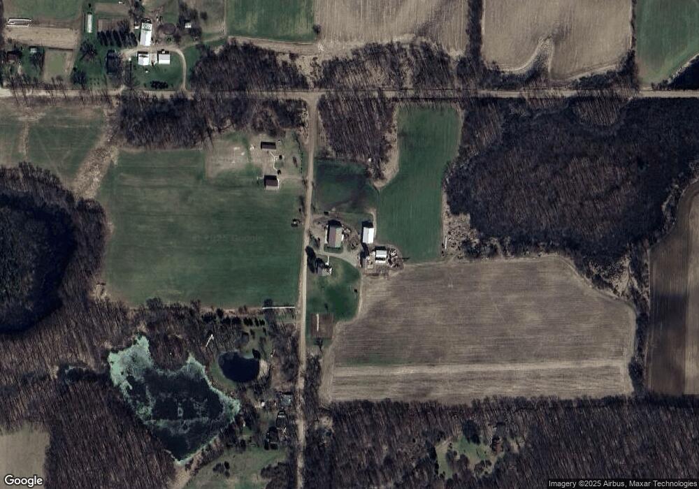
Map
Nearby Homes
- 5019 S Townhall Rd
- V/L Lilac Ln
- 148 E Channel Dr
- 206 S Pearl St
- 229 S Sherman St
- 3211 Wood Duck Dr Unit 24
- 601 S Main St
- 4263 S Sheridan Rd
- 3043 E Sidney Rd
- 757 E Sidney Rd
- 104 Bliss Ct
- 901 Half Moon Lake Dr SW
- 336 Penny Ln
- 1832 E Carson City Rd
- 4575 Creek View Ct
- 4599 Creek View Ct
- 4644 Creek View Ct
- 4633 Creek View Ct
- 4622 Creek View Ct
- 4749 Meadow View Dr
- 5240 S Stevenson Rd
- 5262 S Stevenson Rd
- 5287 S Stevenson Rd
- 4997 S Stevenson Rd
- 5417 S Stevenson Rd
- 1782 E Muskrat Rd
- 2101 E Beardslee Rd
- 4950 S Stevenson Rd
- 2131 E Beardslee Rd
- 2143 E Beardslee Rd
- 1927 E Beardslee Rd
- 2059 E Beardslee Rd
- 2159 E Beardslee Rd
- 1809 E Beardslee Rd
- 1938 E Beardslee Rd
- 2229 E Beardslee Rd
- 1693 E Beardslee Rd
- 5542 S Stevenson Rd
- 1844 E Beardslee Rd
- 1580 E Muskrat Rd