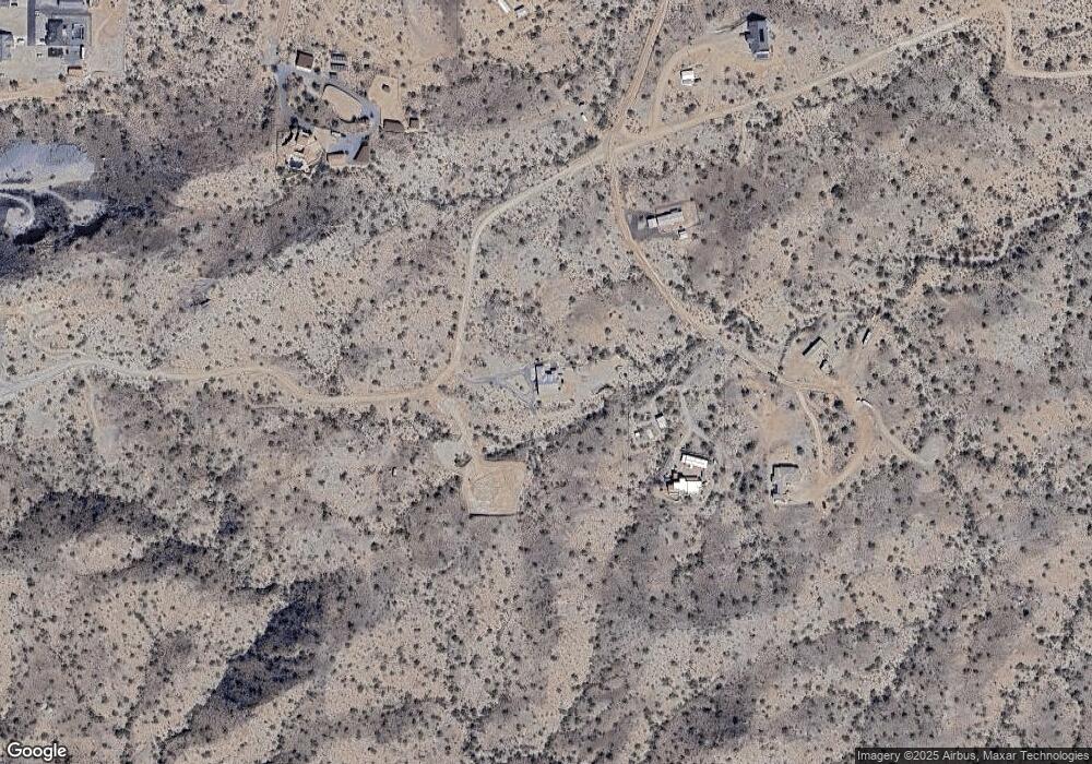
5133 W Butterfield Trail San Tan Valley, AZ 85144
San Tan Mountain NeighborhoodEstimated Value: $784,000 - $1,015,000
--
Bed
--
Bath
2,603
Sq Ft
$341/Sq Ft
Est. Value
About This Home
This home is located at 5133 W Butterfield Trail, San Tan Valley, AZ 85144 and is currently estimated at $888,715, approximately $341 per square foot. 5133 W Butterfield Trail is a home.
Ownership History
Date
Name
Owned For
Owner Type
Purchase Details
Closed on
Sep 24, 2019
Sold by
Bennett Robin
Bought by
Lopez Gregory C and Lopez Jaime D
Current Estimated Value
Purchase Details
Closed on
Apr 30, 2004
Sold by
Schaeffer Jay K
Bought by
Bennett Robin
Home Financials for this Owner
Home Financials are based on the most recent Mortgage that was taken out on this home.
Original Mortgage
$64,800
Interest Rate
5.77%
Mortgage Type
New Conventional
Purchase Details
Closed on
Sep 22, 1999
Sold by
Robinson Paul Bradley
Bought by
Schaeffer Jay K
Home Financials for this Owner
Home Financials are based on the most recent Mortgage that was taken out on this home.
Original Mortgage
$24,000
Interest Rate
7.97%
Mortgage Type
Seller Take Back
Create a Home Valuation Report for This Property
The Home Valuation Report is an in-depth analysis detailing your home's value as well as a comparison with similar homes in the area
Home Values in the Area
Average Home Value in this Area
Purchase History
| Date | Buyer | Sale Price | Title Company |
|---|---|---|---|
| Lopez Gregory C | $90,000 | Phoenix Title Agency Llc | |
| Bennett Robin | $81,000 | Commonwealth Title | |
| Schaeffer Jay K | $29,000 | Transnation Title Ins Co |
Source: Public Records
Mortgage History
| Date | Status | Borrower | Loan Amount |
|---|---|---|---|
| Previous Owner | Bennett Robin | $64,800 | |
| Previous Owner | Schaeffer Jay K | $24,000 |
Source: Public Records
Tax History Compared to Growth
Tax History
| Year | Tax Paid | Tax Assessment Tax Assessment Total Assessment is a certain percentage of the fair market value that is determined by local assessors to be the total taxable value of land and additions on the property. | Land | Improvement |
|---|---|---|---|---|
| 2025 | $2,578 | $64,211 | -- | -- |
| 2024 | $2,542 | $68,703 | -- | -- |
| 2023 | $2,585 | $58,351 | $15,219 | $43,132 |
| 2022 | $2,542 | $8,435 | $8,435 | $0 |
| 2021 | $675 | $8,996 | $0 | $0 |
| 2020 | $615 | $8,996 | $0 | $0 |
| 2019 | $614 | $8,997 | $0 | $0 |
| 2018 | $591 | $8,997 | $0 | $0 |
| 2017 | $558 | $8,997 | $0 | $0 |
| 2016 | $549 | $8,997 | $8,997 | $0 |
| 2014 | -- | $4,028 | $4,028 | $0 |
Source: Public Records
Map
Nearby Homes
- 0 W Butterfield Trail Unit 25
- 0 N Homestead Ln Unit 28
- X W Apex Ave
- 28100 N Brenner Pass Rd Unit 10
- xxxx N Brenner Pass Rd Unit A
- xxxx N Brenner Pass Rd Unit C
- 28621 N Thompson Rd
- 28673 N Thompson Rd
- 0 N Donnaloy Rd Unit 1
- 28383 N Mildred Rd
- 28188 N Cindy Ln
- 5341 W Judd Rd
- 3925 W Moon Dust Trail
- 27213 N Brenner Pass Rd
- 0 W Josiah Trail Unit 17
- 0 SW Olberg and Gossner Lot 35 Rd Unit 35 6923602
- 1 N Brenner Pass Rd Unit W1
- 00 N Brenner Pass Rd Unit E1
- 3785 W Silverdale Rd
- 27755 N Ellen Place
- 286XX W Butterfield Trail Unit 39
- 0 S Butterfield -- Unit 36
- 28183 N Cibola Cir
- 28349 N Cibola Cir Unit 18
- 27950 N Homestead Ln
- 27950 N Homestead Ln Unit 32
- 0 N Cibola Cir Unit 18 2908099
- 0 N Cibola Cir Unit 20 4251427
- 0 N Cibola Cir Unit 18 4316737
- 0 N Cibola Cir Unit 18 4526012
- 0 N Homestead -- Unit 16
- X N Brenner Pass 051 -- Unit 51
- 28348 N Cibola Cir
- 28662 N Valley View Rd
- 283XX N Homestead Ln Unit 11
- 27920 N Homestead Ln
- 28334 N Homestead Ln Unit 6
- 28311 N Homestead Ln
- 300 N Cibola Cir Unit 20
- Lot #1 N Tame Ln Unit 20
