Estimated Value: $569,000 - $772,000
3
Beds
4
Baths
3,962
Sq Ft
$163/Sq Ft
Est. Value
About This Home
This home is located at 5133 W Jason Dr, Monee, IL 60449 and is currently estimated at $647,376, approximately $163 per square foot. 5133 W Jason Dr is a home located in Will County with nearby schools including Monee Elementary School, Crete-Monee Middle School, and Crete-Monee High School.
Ownership History
Date
Name
Owned For
Owner Type
Purchase Details
Closed on
Mar 18, 2005
Sold by
Malecky James A
Bought by
King Patrick D and King Margaret K F
Current Estimated Value
Home Financials for this Owner
Home Financials are based on the most recent Mortgage that was taken out on this home.
Original Mortgage
$330,000
Outstanding Balance
$167,301
Interest Rate
5.61%
Mortgage Type
Purchase Money Mortgage
Estimated Equity
$480,075
Purchase Details
Closed on
Dec 16, 2004
Sold by
King Patrick D and King Margaret K F
Bought by
Malecky James A
Purchase Details
Closed on
Jul 8, 2003
Sold by
Bonnema Robert T and Bonnema Joan T
Bought by
King Patrick D and King Margaret K F
Create a Home Valuation Report for This Property
The Home Valuation Report is an in-depth analysis detailing your home's value as well as a comparison with similar homes in the area
Home Values in the Area
Average Home Value in this Area
Purchase History
| Date | Buyer | Sale Price | Title Company |
|---|---|---|---|
| King Patrick D | $535,000 | Greater Illinois Title Compa | |
| Malecky James A | -- | Greater Illinois Title Compa | |
| King Patrick D | $57,000 | -- |
Source: Public Records
Mortgage History
| Date | Status | Borrower | Loan Amount |
|---|---|---|---|
| Open | King Patrick D | $330,000 |
Source: Public Records
Tax History Compared to Growth
Tax History
| Year | Tax Paid | Tax Assessment Tax Assessment Total Assessment is a certain percentage of the fair market value that is determined by local assessors to be the total taxable value of land and additions on the property. | Land | Improvement |
|---|---|---|---|---|
| 2024 | $16,152 | $195,772 | $32,243 | $163,529 |
| 2023 | $16,152 | $168,769 | $27,796 | $140,973 |
| 2022 | $13,819 | $148,460 | $24,451 | $124,009 |
| 2021 | $13,202 | $137,301 | $22,234 | $115,067 |
| 2020 | $13,149 | $132,850 | $21,513 | $111,337 |
| 2019 | $12,752 | $125,984 | $20,401 | $105,583 |
| 2018 | $12,251 | $120,110 | $19,965 | $100,145 |
| 2017 | $12,285 | $117,709 | $19,566 | $98,143 |
| 2016 | $11,775 | $112,482 | $18,859 | $93,623 |
| 2015 | $10,888 | $102,798 | $17,237 | $85,561 |
| 2014 | $10,888 | $103,379 | $16,999 | $86,380 |
| 2013 | $10,888 | $108,250 | $17,800 | $90,450 |
Source: Public Records
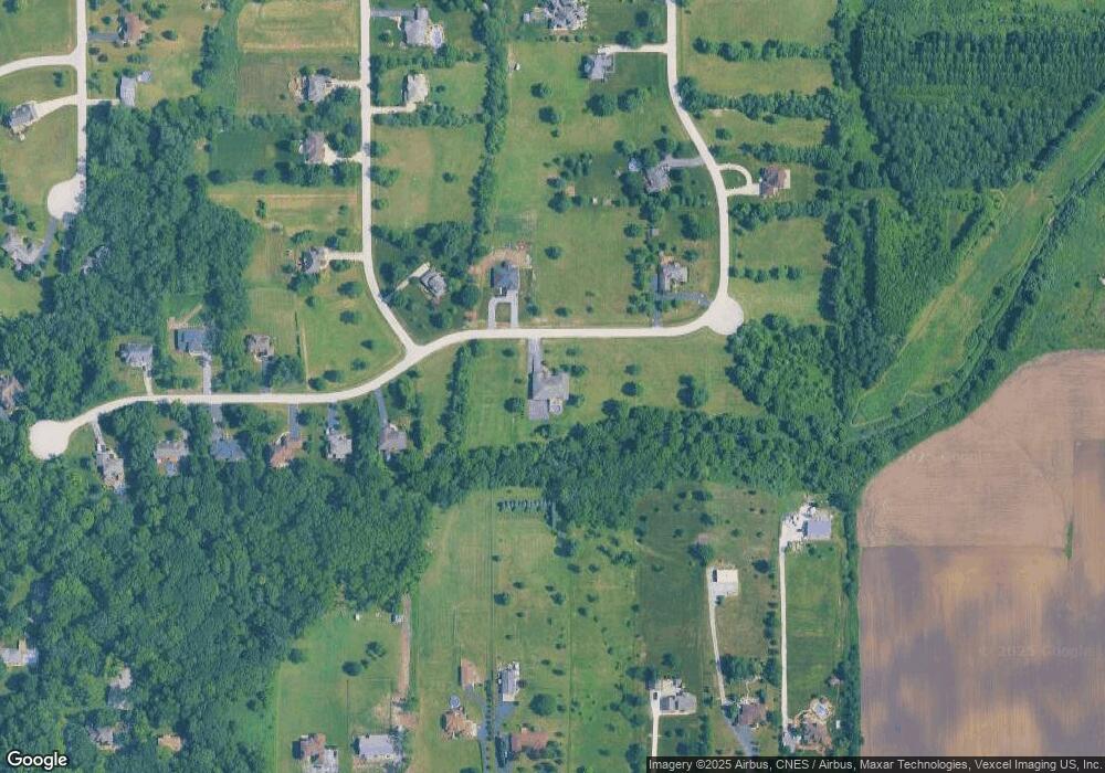
Map
Nearby Homes
- 26760 S Fox Wood Dr
- 26711 S Greenbriar Dr
- 26852 S Meghan Ct S
- 5456 W Heatherbrook Trail
- 5548 W Heatherbrook Trail
- 5531 W Hilltop Rd
- 4816 W Roberts Ridge Rd
- 4300 W Pauling Rd
- 27202 S Egyptian Trail
- 26616 S Egyptian Trail
- 27308 S Egyptian Trail
- 26253 S Ruby St Unit 1
- 5320 W Orchard Trail
- 26205 S Ruby St
- 26256 S Plum Tree Ln
- 26165 S County Fair Dr
- 5705 W Timberlane
- 26149 S Locust Place
- 4996 W Ribbon Dr
- 5147 Fairground Ct Unit 2
- 5146 W Jason Dr
- 5209 W Jason Dr
- 26855 S Fox Wood Dr
- 5102 W Jason Dr
- 5223 W Jason Dr
- 26830 S Hawthorne Trail
- 26865 S Hawthorne Trail
- 26857 S Hawthorne Trail
- 26850 S Fox Wood Dr
- 5239 W Jason Dr
- 5232 W Jason Dr
- 26833 S Hawthorne Trail
- 26800 S Hawthorne Trail
- 26811 S Fox Wood Dr
- 5216 W Pauling Rd
- 26834 S Foxwood Dr
- 5253 W Jason Dr
- 26820 S Fox Wood Dr
- 5106 W Pauling Rd
- 5160 W Pauling Rd