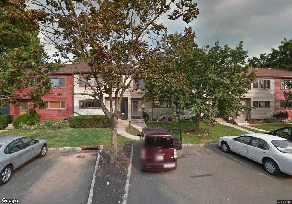
514 Brookside Ln Hillsborough, NJ 08844
Estimated Value: $427,787 - $500,000
--
Bed
--
Bath
1,420
Sq Ft
$334/Sq Ft
Est. Value
About This Home
This home is located at 514 Brookside Ln, Hillsborough, NJ 08844 and is currently estimated at $474,947, approximately $334 per square foot. 514 Brookside Ln is a home located in Somerset County with nearby schools including Hillsborough High School and Brighthorizons at Hillsborough.
Ownership History
Date
Name
Owned For
Owner Type
Purchase Details
Closed on
May 6, 1994
Sold by
Desantos Thomas
Bought by
Crescenzo John and Crescenzo Margaret
Current Estimated Value
Purchase Details
Closed on
May 3, 1991
Sold by
Bronstein Corey A and Bronstein Susan E
Bought by
Desanto Thomas
Create a Home Valuation Report for This Property
The Home Valuation Report is an in-depth analysis detailing your home's value as well as a comparison with similar homes in the area
Home Values in the Area
Average Home Value in this Area
Purchase History
| Date | Buyer | Sale Price | Title Company |
|---|---|---|---|
| Crescenzo John | $102,000 | -- | |
| Desanto Thomas | $103,000 | -- |
Source: Public Records
Tax History Compared to Growth
Tax History
| Year | Tax Paid | Tax Assessment Tax Assessment Total Assessment is a certain percentage of the fair market value that is determined by local assessors to be the total taxable value of land and additions on the property. | Land | Improvement |
|---|---|---|---|---|
| 2025 | $7,413 | $375,800 | $200,000 | $175,800 |
| 2024 | $7,413 | $345,900 | $185,000 | $160,900 |
| 2023 | $7,038 | $326,900 | $165,000 | $161,900 |
| 2022 | $6,458 | $289,200 | $170,000 | $119,200 |
| 2021 | $5,170 | $260,200 | $140,000 | $120,200 |
| 2020 | $5,750 | $241,200 | $130,000 | $111,200 |
| 2019 | $5,457 | $227,000 | $120,000 | $107,000 |
| 2018 | $5,145 | $212,700 | $105,000 | $107,700 |
| 2017 | $4,721 | $195,500 | $95,000 | $100,500 |
| 2016 | $4,736 | $196,200 | $95,000 | $101,200 |
| 2015 | $4,192 | $196,800 | $95,000 | $101,800 |
| 2014 | $4,026 | $193,900 | $95,000 | $98,900 |
Source: Public Records
Map
Nearby Homes
- 213 Brookside Ln
- 2301 Trafalgar Square
- 351 Doctors Way
- 524 Andria Ave Unit 225
- 3301 Astor Close
- 614 Robin Rd
- 3203 Astor Close
- 528 Andria Ave Unit 253
- 528 Andria Ave Unit 255
- 180 Wildflower Ln
- 18 Deanna Dr Unit 37
- 920 Robin Rd
- 6 Crestwood Ave
- 17 Old Somerville Rd
- 12 Cranbrook Ave
- 42 Falcon Rd
- 23 Cranbrook Ave
- 77 Norton Rd
- 78 Valley Rd
- 115 Valley Rd
- 516 Brookside Ln
- 518 Brookside Ln
- 510 Brookside Ln
- 520 Brookside Ln
- 508 Brookside Ln
- 506 Brookside Ln
- 504 Brookside Ln
- 502 Brookside Ln
- 470 Brookside Ln
- 480 Brookside Ln
- 482 Brookside Ln
- 484 Brookside Ln
- 539 Brookside Ln
- 500 Brookside Ln
- 468 Brookside Ln
- 486 Brookside Ln
- 537 Brookside Ln
- 498 Brookside Ln
- 488 Brookside Ln
- 466 Brookside Ln