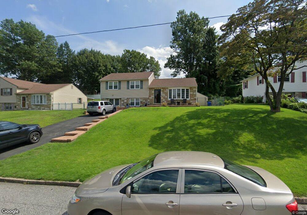
514 Buxmont St Philadelphia, PA 19116
Somerton NeighborhoodEstimated Value: $351,000 - $396,000
3
Beds
2
Baths
1,163
Sq Ft
$322/Sq Ft
Est. Value
About This Home
This home is located at 514 Buxmont St, Philadelphia, PA 19116 and is currently estimated at $374,547, approximately $322 per square foot. 514 Buxmont St is a home located in Philadelphia County with nearby schools including Watson Comly School, CCA Baldi Middle School, and George Washington High School.
Ownership History
Date
Name
Owned For
Owner Type
Purchase Details
Closed on
Nov 30, 2001
Sold by
Barrie June K and Estate Of Adelaide R Krapf
Bought by
Hendershot Jason C and Hendershot Lynn
Current Estimated Value
Home Financials for this Owner
Home Financials are based on the most recent Mortgage that was taken out on this home.
Original Mortgage
$115,000
Outstanding Balance
$44,061
Interest Rate
6.6%
Estimated Equity
$330,486
Create a Home Valuation Report for This Property
The Home Valuation Report is an in-depth analysis detailing your home's value as well as a comparison with similar homes in the area
Home Values in the Area
Average Home Value in this Area
Purchase History
| Date | Buyer | Sale Price | Title Company |
|---|---|---|---|
| Hendershot Jason C | $145,000 | First American Title Ins Co |
Source: Public Records
Mortgage History
| Date | Status | Borrower | Loan Amount |
|---|---|---|---|
| Open | Hendershot Jason C | $115,000 |
Source: Public Records
Tax History Compared to Growth
Tax History
| Year | Tax Paid | Tax Assessment Tax Assessment Total Assessment is a certain percentage of the fair market value that is determined by local assessors to be the total taxable value of land and additions on the property. | Land | Improvement |
|---|---|---|---|---|
| 2026 | $4,373 | $389,900 | $77,980 | $311,920 |
| 2025 | $4,373 | $389,900 | $77,980 | $311,920 |
| 2024 | $4,373 | $389,900 | $77,980 | $311,920 |
| 2023 | $4,373 | $312,400 | $62,480 | $249,920 |
| 2022 | $2,933 | $267,400 | $62,480 | $204,920 |
| 2021 | $3,562 | $0 | $0 | $0 |
| 2020 | $3,562 | $0 | $0 | $0 |
| 2019 | $3,411 | $0 | $0 | $0 |
| 2018 | $2,310 | $0 | $0 | $0 |
| 2017 | $2,730 | $0 | $0 | $0 |
| 2016 | $2,310 | $0 | $0 | $0 |
| 2015 | $2,211 | $0 | $0 | $0 |
| 2014 | -- | $195,000 | $121,861 | $73,139 |
| 2012 | -- | $31,904 | $11,601 | $20,303 |
Source: Public Records
Map
Nearby Homes
- 511 Smithfield Ave
- 11 Hilltop Rd
- 100 Overhill Ave
- 5 Indian Path Ln
- 15 Roy Ln
- 76 Lilly Dr
- 21 Roy Ln
- 13675 Philmont Ave Unit 5
- 74 County Line Rd
- 66 Lilly Dr
- 133 Ashley Dr
- 14044 Erwin St
- 611 Edison Ave Unit C
- 600 Edison Ave Unit 606
- 613 Poquessing Ave
- 612 Poquessing Ave
- 7 Dukes Way
- 0 Crocus Rd
- 13441 Trevose Rd
- 13250 Trevose Rd
- 512 Buxmont St
- 516 Buxmont St
- 519 Smithfield Ave
- 517 Smithfield Ave
- 510 Buxmont St
- 521 Smithfield Ave
- 515 Buxmont St
- 515 Smithfield Ave
- 513 Buxmont St
- 150 County Line Rd
- 511 Buxmont St
- 508 Buxmont St
- 200 County Line Rd
- 509 Buxmont St
- 134 County Line Rd
- 529 Simms St
- 535 Simms St
- 220 County Line Rd
- 520 Smithfield Ave
- 506 Buxmont St