Estimated Value: $1,289,000 - $1,376,222
3
Beds
3
Baths
4,156
Sq Ft
$321/Sq Ft
Est. Value
About This Home
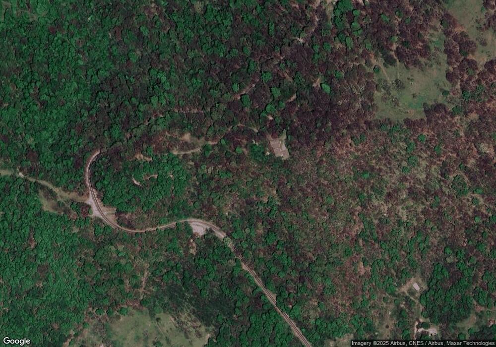
This home is located at 514 Lab Mountain Rd, Clyde, NC 28721 and is currently estimated at $1,332,056, approximately $320 per square foot. 514 Lab Mountain Rd is a home located in Haywood County with nearby schools including Riverbend Elementary, Waynesville Middle, and Tuscola High.
Ownership History
Date
Name
Owned For
Owner Type
Purchase Details
Closed on
Jul 2, 2019
Sold by
Buckler Michael J
Bought by
Faria Abdullah and Abdullah Javed
Current Estimated Value
Home Financials for this Owner
Home Financials are based on the most recent Mortgage that was taken out on this home.
Original Mortgage
$484,350
Outstanding Balance
$425,891
Interest Rate
4%
Mortgage Type
New Conventional
Estimated Equity
$906,165
Purchase Details
Closed on
Mar 15, 2005
Sold by
Buckler Carol L
Bought by
Buckler Michael J
Create a Home Valuation Report for This Property
The Home Valuation Report is an in-depth analysis detailing your home's value as well as a comparison with similar homes in the area
Home Values in the Area
Average Home Value in this Area
Purchase History
| Date | Buyer | Sale Price | Title Company |
|---|---|---|---|
| Faria Abdullah | $700,000 | None Available | |
| Buckler Michael J | -- | None Available |
Source: Public Records
Mortgage History
| Date | Status | Borrower | Loan Amount |
|---|---|---|---|
| Open | Faria Abdullah | $484,350 |
Source: Public Records
Tax History Compared to Growth
Tax History
| Year | Tax Paid | Tax Assessment Tax Assessment Total Assessment is a certain percentage of the fair market value that is determined by local assessors to be the total taxable value of land and additions on the property. | Land | Improvement |
|---|---|---|---|---|
| 2025 | -- | $1,121,200 | $309,700 | $811,500 |
| 2024 | $7,335 | $1,121,200 | $309,700 | $811,500 |
| 2023 | $7,335 | $1,121,200 | $309,700 | $811,500 |
| 2022 | $5,843 | $909,400 | $167,300 | $742,100 |
| 2021 | $5,843 | $909,400 | $167,300 | $742,100 |
| 2020 | $5,105 | $732,800 | $167,300 | $565,500 |
| 2019 | $5,110 | $732,800 | $167,300 | $565,500 |
| 2018 | $5,110 | $732,800 | $167,300 | $565,500 |
| 2017 | $5,110 | $732,800 | $0 | $0 |
| 2016 | $4,864 | $716,300 | $0 | $0 |
| 2015 | $4,864 | $716,300 | $0 | $0 |
| 2014 | $4,614 | $716,300 | $0 | $0 |
Source: Public Records
Map
Nearby Homes
- 514 Lab Mountain Trail
- 108 Lanning Rd
- 000 Jade Dr Unit 5&6
- 171 Jade Dr
- 317 Camp Branch Rd
- 190 Turkey Creek Rd
- 00 Sugar Cove Rd
- 0000 Wayward Cove Unit 18
- 00 Max Patch Rd
- 11267 Rush Fork Rd
- 00 Wesley Creek Rd
- 4035 Bald Creek Rd
- 00 Split Pine Cove
- 337 Split Pine Cove
- 4231 Bald Creek Rd
- 99999 Gibson Branch Rd
- 112 Grouse Rd
- Lot 4 Cloudy Hill Dr
- 68 Grouse Rd Unit 68
- 160 Blazing Star Ln
- 514 Lab Mountain Rd
- C,D,F,G Rich Top Mountain
- CDEFG Rich Top Mountain Unit CDEFG
- Lot E Rich Top Mountain Unit E
- 00 Betsys Gap Rd
- 00 Betsy's Gap Rd
- 9999 Betsy's Gap Rd
- Off Betsy's Gap Rd
- 13689 Betsys Gap Rd
- 50 Lanning Rd
- 91 Carter Mountain Rd
- 60 Betsys Gap Rd
- 60 Carter Mnt Rd
- 150 Carter Mountain Rd
- 169 Blue Ridge
- 285 Carter Mountain Rd
- TBD Betsys Gap Rd
- 170 Joe Mooney Rd
- 91 Joe Mooney Rd
- 00 Carter Rd
