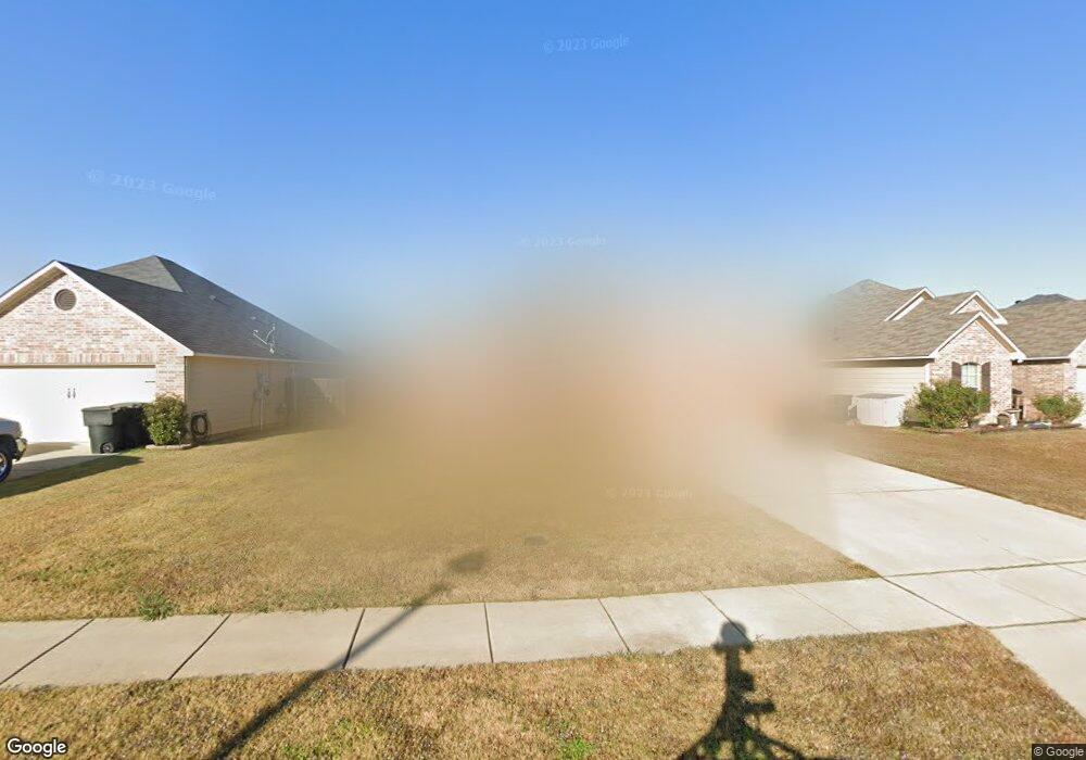
514 Linnhurst Dr Bossier City, LA 71112
South Bossier NeighborhoodEstimated Value: $175,000 - $244,000
3
Beds
2
Baths
1,266
Sq Ft
$169/Sq Ft
Est. Value
About This Home
This home is located at 514 Linnhurst Dr, Bossier City, LA 71112 and is currently estimated at $214,431, approximately $169 per square foot. 514 Linnhurst Dr is a home with nearby schools including Sun City Elementary School, Curtis Elementary School, and Elm Grove Middle School.
Ownership History
Date
Name
Owned For
Owner Type
Purchase Details
Closed on
Feb 24, 2012
Sold by
Southern Home Builders Inc
Bought by
Wright Marvin Rene and Wright Cemika Lashun Hudson
Current Estimated Value
Home Financials for this Owner
Home Financials are based on the most recent Mortgage that was taken out on this home.
Original Mortgage
$171,359
Outstanding Balance
$118,160
Interest Rate
3.95%
Mortgage Type
FHA
Estimated Equity
$96,271
Create a Home Valuation Report for This Property
The Home Valuation Report is an in-depth analysis detailing your home's value as well as a comparison with similar homes in the area
Home Values in the Area
Average Home Value in this Area
Purchase History
| Date | Buyer | Sale Price | Title Company |
|---|---|---|---|
| Wright Marvin Rene | $175,817 | None Available |
Source: Public Records
Mortgage History
| Date | Status | Borrower | Loan Amount |
|---|---|---|---|
| Open | Wright Marvin Rene | $171,359 |
Source: Public Records
Tax History Compared to Growth
Tax History
| Year | Tax Paid | Tax Assessment Tax Assessment Total Assessment is a certain percentage of the fair market value that is determined by local assessors to be the total taxable value of land and additions on the property. | Land | Improvement |
|---|---|---|---|---|
| 2024 | $1,554 | $18,975 | $3,300 | $15,675 |
| 2023 | $1,270 | $15,948 | $3,000 | $12,948 |
| 2022 | $906 | $15,948 | $3,000 | $12,948 |
| 2021 | $360 | $15,948 | $3,000 | $12,948 |
| 2020 | $905 | $15,948 | $3,000 | $12,948 |
| 2019 | $924 | $16,000 | $3,000 | $13,000 |
| 2018 | $924 | $16,000 | $3,000 | $13,000 |
| 2017 | $1,277 | $16,000 | $3,000 | $13,000 |
| 2016 | $1,277 | $16,000 | $3,000 | $13,000 |
| 2015 | $362 | $15,930 | $3,000 | $12,930 |
| 2014 | $362 | $15,930 | $3,000 | $12,930 |
Source: Public Records
Map
Nearby Homes
- 1701 Avondale Ct
- 466 Jordan Dr
- 2023 Pluto Dr
- 2002 General Jackson Place
- 1911 General Jackson Place
- 238 Avondale Ln
- 4717 General Ewell Dr
- 4218 Logan St
- 2129 Rossie Lee Dr
- 1957 Rossie Lee Dr
- 1943 Rossie Lee Dr
- 1945 Rossie Lee Dr
- 000 Rossie Lee Dr
- 4808 General Scott Place
- 5322 Jonquil St
- 4210 Mike St
- 1931 Alfred Ln
- 1904 Carol St
- 1904 Bey St
- 523 Columbia Cir
- 512 Linnhurst Dr
- 516 Linnhurst Dr
- 510 Linnhurst Dr
- 518 Linnhurst Dr
- 291 Avondale Ln
- 293 Avondale Ln
- 519 Linnhurst Dr
- 289 Avondale Ln
- 523 Linnhurst Dr
- 521 Linnhurst Dr
- 525 Linnhurst Dr
- 520 Linnhurst Dr
- 517 Linnhurst Dr
- 295 Avondale Ln
- 506 Linnhurst Dr
- 287 Avondale Ln
- 515 Linnhurst Dr
- 522 Linnhurst Dr
- 513 Linnhurst Dr
- 297 Avondale Ln