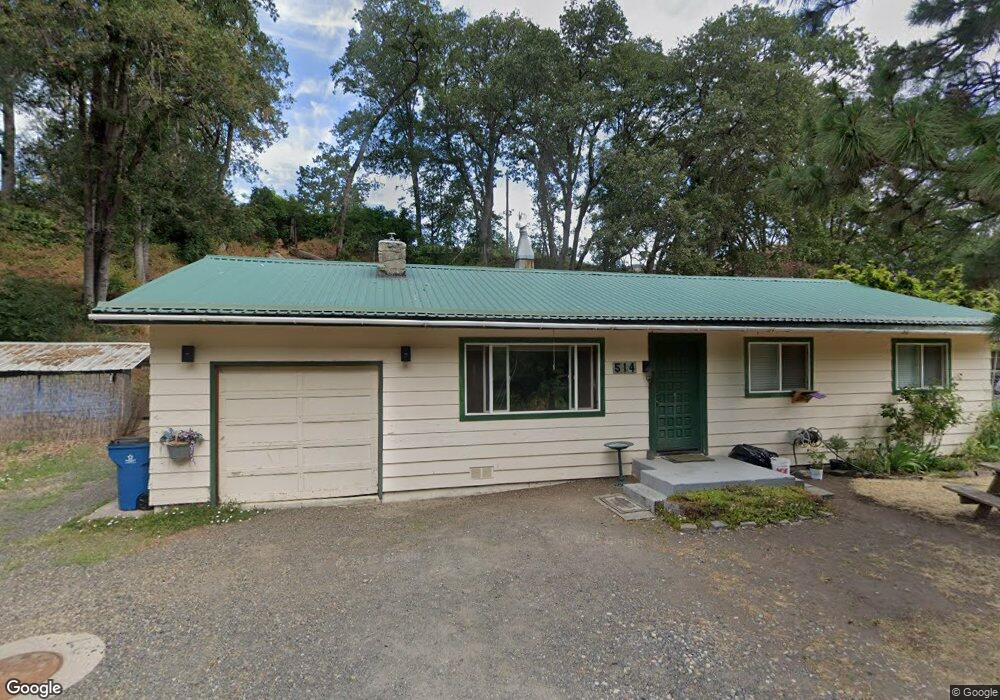
514 Lower River Rd Klickitat, WA 98628
Estimated Value: $212,509 - $291,000
3
Beds
1
Bath
1,025
Sq Ft
$239/Sq Ft
Est. Value
About This Home
This home is located at 514 Lower River Rd, Klickitat, WA 98628 and is currently estimated at $245,127, approximately $239 per square foot. 514 Lower River Rd is a home located in Klickitat County with nearby schools including Klickitat School.
Ownership History
Date
Name
Owned For
Owner Type
Purchase Details
Closed on
Apr 2, 2021
Sold by
Wyatt Rick W and Wyatt Catherine M
Bought by
Wyatt Christopher W and Wyatt Tonya M
Current Estimated Value
Home Financials for this Owner
Home Financials are based on the most recent Mortgage that was taken out on this home.
Original Mortgage
$161,500
Outstanding Balance
$145,932
Interest Rate
3.05%
Mortgage Type
New Conventional
Estimated Equity
$99,195
Create a Home Valuation Report for This Property
The Home Valuation Report is an in-depth analysis detailing your home's value as well as a comparison with similar homes in the area
Home Values in the Area
Average Home Value in this Area
Purchase History
| Date | Buyer | Sale Price | Title Company |
|---|---|---|---|
| Wyatt Christopher W | $170,000 | Amerititle |
Source: Public Records
Mortgage History
| Date | Status | Borrower | Loan Amount |
|---|---|---|---|
| Open | Wyatt Christopher W | $161,500 |
Source: Public Records
Tax History Compared to Growth
Tax History
| Year | Tax Paid | Tax Assessment Tax Assessment Total Assessment is a certain percentage of the fair market value that is determined by local assessors to be the total taxable value of land and additions on the property. | Land | Improvement |
|---|---|---|---|---|
| 2025 | $1,082 | $124,310 | $46,210 | $78,100 |
| 2023 | $1,082 | $124,410 | $46,210 | $78,200 |
| 2022 | $1,079 | $112,340 | $44,140 | $68,200 |
| 2021 | $1,107 | $112,440 | $44,140 | $68,300 |
| 2020 | $1,215 | $112,440 | $44,140 | $68,300 |
| 2018 | $1,261 | $115,740 | $44,140 | $71,600 |
| 2017 | $1,164 | $115,740 | $44,140 | $71,600 |
| 2016 | $638 | $115,740 | $44,140 | $71,600 |
| 2015 | $786 | $63,640 | $7,240 | $56,400 |
| 2013 | $786 | $56,940 | $7,240 | $49,700 |
Source: Public Records
Map
Nearby Homes
- 517 N Main St
- 409 Main St
- 604 Bluff Ave
- 610 Bluff Rd
- 101 N Main St
- 73 Long Rd
- 110 Morris Rd
- 0 04143200000600 Unit 652591923
- 850 Highway 142
- 955 High Prairie Rd
- 959 High Prairie Rd
- 0 Secluded Way Unit 3 24197199
- 0 Secluded Way Unit 2 24300029
- 0 Secluded Way Unit 4 24180959
- 49 Restful Haven Dr
- 0 Schilling Rd Unit Lot 2 107659625
- 272 Johnson Rd
- 1070 Centerville Hwy
- 345 Erickson Rd
- 401 Johnson Rd