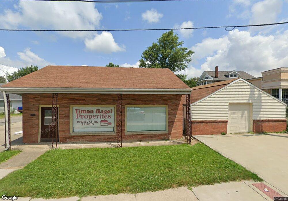
514 Maple St Mansfield, OH 44906
Estimated Value: $147,529
Studio
--
Bath
630
Sq Ft
$234/Sq Ft
Est. Value
About This Home
This home is located at 514 Maple St, Mansfield, OH 44906 and is currently estimated at $147,529, approximately $234 per square foot. 514 Maple St is a home located in Richland County with nearby schools including The Richland School of Academic Arts and St. Peter's Junior High / High School.
Ownership History
Date
Name
Owned For
Owner Type
Purchase Details
Closed on
Jun 21, 2013
Sold by
Patton Sylvia M and Patton Jack G
Bought by
Hagel Rose
Current Estimated Value
Purchase Details
Closed on
Feb 15, 2011
Sold by
Peterson Patricia A and Peterson James L
Bought by
Patton Sylvia M and Jump Carol M
Home Financials for this Owner
Home Financials are based on the most recent Mortgage that was taken out on this home.
Original Mortgage
$41,875
Interest Rate
4.81%
Mortgage Type
Future Advance Clause Open End Mortgage
Purchase Details
Closed on
Nov 10, 2004
Sold by
Danas Paul C
Bought by
Peterson Patricia A and Neal Sallie Lee
Create a Home Valuation Report for This Property
The Home Valuation Report is an in-depth analysis detailing your home's value as well as a comparison with similar homes in the area
Home Values in the Area
Average Home Value in this Area
Purchase History
| Date | Buyer | Sale Price | Title Company |
|---|---|---|---|
| Hagel Rose | $60,000 | Barrister Title Group | |
| Patton Sylvia M | $45,000 | Chicago Title | |
| Peterson Patricia A | -- | -- |
Source: Public Records
Mortgage History
| Date | Status | Borrower | Loan Amount |
|---|---|---|---|
| Previous Owner | Patton Sylvia M | $41,875 |
Source: Public Records
Tax History
| Year | Tax Paid | Tax Assessment Tax Assessment Total Assessment is a certain percentage of the fair market value that is determined by local assessors to be the total taxable value of land and additions on the property. | Land | Improvement |
|---|---|---|---|---|
| 2024 | $991 | $13,910 | $4,800 | $9,110 |
| 2023 | $989 | $13,910 | $4,800 | $9,110 |
| 2022 | $1,001 | $12,460 | $4,360 | $8,100 |
| 2021 | $1,006 | $12,460 | $4,360 | $8,100 |
| 2020 | $1,021 | $12,460 | $4,360 | $8,100 |
| 2019 | $1,068 | $12,460 | $4,360 | $8,100 |
| 2018 | $1,063 | $12,460 | $4,360 | $8,100 |
| 2017 | $1,045 | $12,460 | $4,360 | $8,100 |
| 2016 | $1,031 | $12,100 | $4,360 | $7,740 |
| 2015 | $1,031 | $12,100 | $4,360 | $7,740 |
| 2014 | $980 | $12,100 | $4,360 | $7,740 |
| 2012 | $809 | $12,100 | $4,360 | $7,740 |
Source: Public Records
Map
Nearby Homes
- 126 Dawson Ave
- 116 Stewart Ave S
- 108 Stewart Ave S
- 190 Dawson Ave
- 71 Dawson Ave
- 189 Westwood Ave
- 455 Marion Ave
- 169 Euclid Ave
- 31 Parkwood Blvd
- 30 Douglas Ave
- 51 Lind Ave
- 38 Penn Ave
- 183 Carpenter Rd
- 679 Coleman Rd
- 135 Fairlawn Ave
- 129 Fairlawn Ave
- 458 W West Dickson Ave
- 143 Fairlawn Ave
- 519 Heineman Blvd
- 686 Barnard Ave
- 140 Sherman Ave
- 147 Dawson Ave
- 149 Dawson Ave
- 141 Dawson Ave
- 133 Dawson Ave
- 130 Sherman Ave
- 131 Dawson Ave
- 129 Dawson Ave
- 126 Sherman Ave
- 125 Dawson Ave
- 535 Maple St
- 120 Sherman Ave
- 119 Dawson Ave Unit 121
- 146 Dawson Ave
- 150 Dawson Ave
- 539 Maple St
- 142 Dawson Ave
- 116 Sherman Ave
- 305 Marion Ave
- 136 Dawson Ave
Your Personal Tour Guide
Ask me questions while you tour the home.