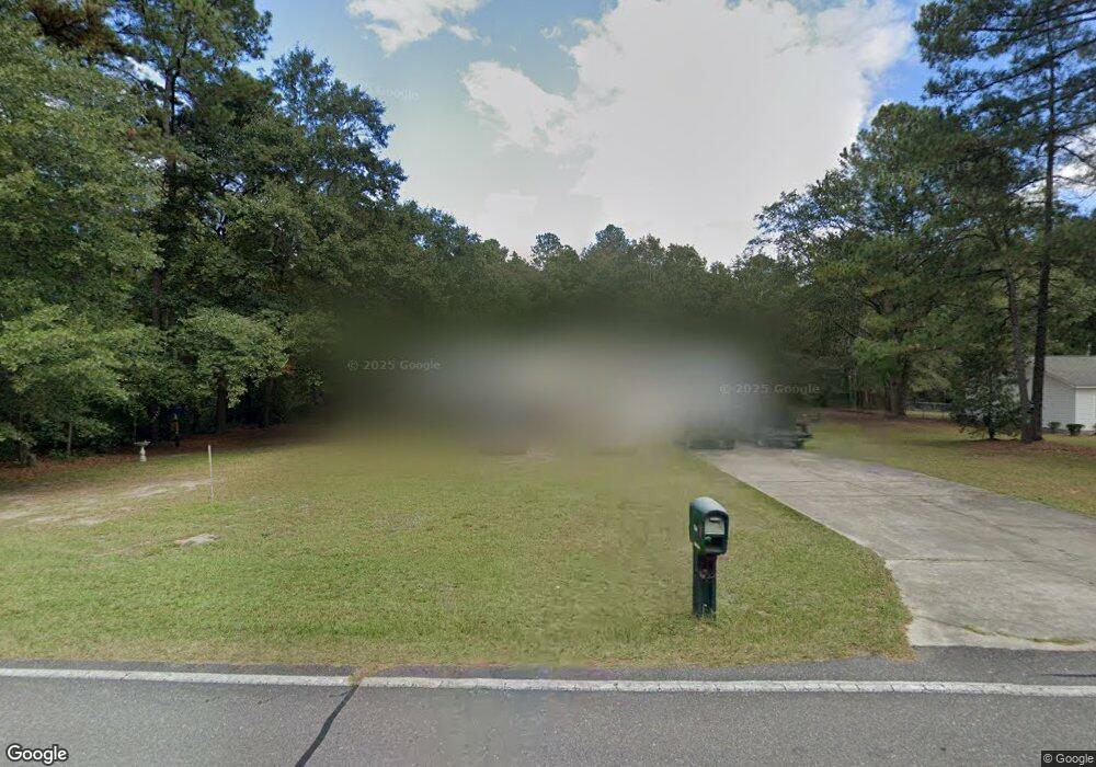
514 Ridge Dr Goldsboro, NC 27530
Estimated Value: $221,000 - $243,000
3
Beds
2
Baths
1,419
Sq Ft
$166/Sq Ft
Est. Value
About This Home
This home is located at 514 Ridge Dr, Goldsboro, NC 27530 and is currently estimated at $235,279, approximately $165 per square foot. 514 Ridge Dr is a home located in Wayne County with nearby schools including Brogden Primary School, Brogden Middle School, and Southern Wayne High School.
Ownership History
Date
Name
Owned For
Owner Type
Purchase Details
Closed on
Oct 30, 2009
Sold by
State Employees Credit Union
Bought by
Stevens Linwood C and Rudisill Teresa L
Current Estimated Value
Home Financials for this Owner
Home Financials are based on the most recent Mortgage that was taken out on this home.
Original Mortgage
$124,000
Outstanding Balance
$75,645
Interest Rate
3.75%
Mortgage Type
New Conventional
Estimated Equity
$159,634
Purchase Details
Closed on
Jun 9, 2009
Sold by
Sexton Robert A and Sexton Jenny Lynn
Bought by
State Employees Credit Union
Create a Home Valuation Report for This Property
The Home Valuation Report is an in-depth analysis detailing your home's value as well as a comparison with similar homes in the area
Home Values in the Area
Average Home Value in this Area
Purchase History
| Date | Buyer | Sale Price | Title Company |
|---|---|---|---|
| Stevens Linwood C | $124,000 | None Available | |
| State Employees Credit Union | $128,000 | None Available |
Source: Public Records
Mortgage History
| Date | Status | Borrower | Loan Amount |
|---|---|---|---|
| Open | Stevens Linwood C | $124,000 |
Source: Public Records
Tax History Compared to Growth
Tax History
| Year | Tax Paid | Tax Assessment Tax Assessment Total Assessment is a certain percentage of the fair market value that is determined by local assessors to be the total taxable value of land and additions on the property. | Land | Improvement |
|---|---|---|---|---|
| 2025 | $1,366 | $189,110 | $25,000 | $164,110 |
| 2024 | $1,133 | $129,910 | $16,000 | $113,910 |
| 2023 | $1,088 | $129,910 | $16,000 | $113,910 |
| 2022 | $1,088 | $129,910 | $16,000 | $113,910 |
| 2021 | $1,042 | $129,910 | $16,000 | $113,910 |
| 2020 | $985 | $129,910 | $16,000 | $113,910 |
| 2018 | $937 | $123,250 | $16,000 | $107,250 |
| 2017 | $937 | $123,250 | $16,000 | $107,250 |
| 2016 | $937 | $123,250 | $16,000 | $107,250 |
| 2015 | $939 | $123,250 | $16,000 | $107,250 |
| 2014 | $940 | $123,250 | $16,000 | $107,250 |
Source: Public Records
Map
Nearby Homes
- The Caldwell Plan at Drake Estates
- The Piedmont Plan at Drake Estates
- The McGinnis Plan at Drake Estates
- The Telfair Plan at Drake Estates
- The Coleman Plan at Drake Estates
- The Benson II Plan at Drake Estates
- The Bradley Plan at Drake Estates
- 202 N Bali Ct
- 204 N Bali Ct
- 692 Sandhill Dr
- 616 Ridge Dr
- 205 N Bali Ct
- 207 N Bali Ct
- 209 N Bali Ct
- 210 Torrent Dr
- 212 Torrent Dr
- 213 Torrent Dr
- 534 US Highway 13 S
- 707 Ridge Dr
- 0 Armstrong Dr Unit 100541114
- 512 Ridge Dr
- 601 Ridge Dr
- 509 Ridge Dr
- 602 Ridge Dr
- 603 Ridge Dr
- 410 Southwood Dr
- 412 Southwood Dr
- 416 Southwood Dr
- 605 Ridge Dr
- 605 Ridge Dr
- 604 Ridge Dr
- 418 Southwood Dr
- 420 Southwood Dr
- 408 Southwood Dr
- 504 Ridge Dr
- 505 Ridge Dr
- 106 Drake Village Dr
- 106 Drake Village Dr Unit 3
- 422 Southwood Dr
- 606 Ridge Dr