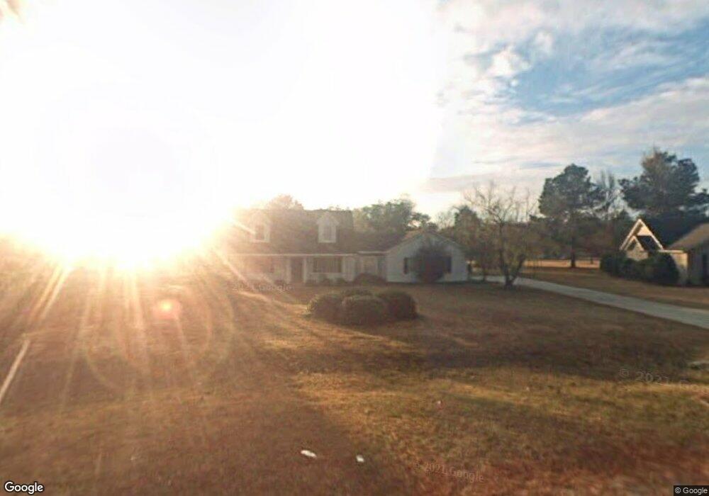
514 Saint Andrews Cir Statesboro, GA 30458
Estimated Value: $291,241 - $318,000
3
Beds
2
Baths
1,754
Sq Ft
$173/Sq Ft
Est. Value
About This Home
This home is located at 514 Saint Andrews Cir, Statesboro, GA 30458 and is currently estimated at $302,810, approximately $172 per square foot. 514 Saint Andrews Cir is a home located in Bulloch County with nearby schools including Langston Chapel Elementary School, Statesboro High School, and Langston Chapel Middle School.
Ownership History
Date
Name
Owned For
Owner Type
Purchase Details
Closed on
May 14, 2007
Sold by
Not Provided
Bought by
Biggers Lisa
Current Estimated Value
Purchase Details
Closed on
Feb 28, 2006
Sold by
Not Provided
Bought by
Biggers Lisa
Purchase Details
Closed on
Dec 7, 2004
Bought by
Minick Jeffery Bryant and Minick Debra F
Purchase Details
Closed on
Sep 10, 2004
Bought by
Minick Jeffery Bryant
Purchase Details
Closed on
Jan 1, 2002
Bought by
Minick Jeffery B
Purchase Details
Closed on
Jul 1, 1994
Bought by
Minick Jeffery B
Create a Home Valuation Report for This Property
The Home Valuation Report is an in-depth analysis detailing your home's value as well as a comparison with similar homes in the area
Home Values in the Area
Average Home Value in this Area
Purchase History
| Date | Buyer | Sale Price | Title Company |
|---|---|---|---|
| Biggers Lisa | $192,000 | -- | |
| Biggers Lisa | $30,000 | -- | |
| Minick Jeffery Bryant | -- | -- | |
| Minick Jeffery Bryant | -- | -- | |
| Minick Jeffery B | -- | -- | |
| Minick Jeffery B | -- | -- |
Source: Public Records
Tax History Compared to Growth
Tax History
| Year | Tax Paid | Tax Assessment Tax Assessment Total Assessment is a certain percentage of the fair market value that is determined by local assessors to be the total taxable value of land and additions on the property. | Land | Improvement |
|---|---|---|---|---|
| 2024 | $2,031 | $92,400 | $20,800 | $71,600 |
| 2023 | $1,871 | $77,880 | $15,600 | $62,280 |
| 2022 | $1,429 | $65,340 | $11,440 | $53,900 |
| 2021 | $1,232 | $54,970 | $11,440 | $43,530 |
| 2020 | $1,197 | $53,085 | $11,440 | $41,645 |
| 2019 | $1,109 | $48,908 | $7,680 | $41,228 |
| 2018 | $1,097 | $46,548 | $7,680 | $38,868 |
| 2017 | $1,061 | $44,524 | $7,680 | $36,844 |
| 2016 | $1,047 | $42,904 | $7,680 | $35,224 |
| 2015 | $982 | $40,121 | $7,680 | $32,441 |
| 2014 | $908 | $40,121 | $7,680 | $32,441 |
Source: Public Records
Map
Nearby Homes
- 525 Saint Andrews Cir
- 112 Enclave Ct
- 1300 Kermit Dr
- 149 Griffith Ln
- 126 Enclave Ct
- 1317 Kermit Dr
- 1503 Cayla Way
- 101 Old Barn Rd
- 315 Shallow Well Ct
- 1501 Cayla Way
- 1713 Muirfield Dr
- 369 Glazebrook Ave
- 367 Glazebrook Ave
- 365 Glazebrook Ave
- 357 Glazebrook Ave
- 412 Mayberry Way
- 355 Glazebrook Ave
- 512 Colquitt Ln
- 509 Colquitt Ln
- 610 Waverly Ln
- 512 Saint Andrews Cir
- 511 Saint Andrews Cir
- 510 Saint Andrews Cir
- 518 Saint Andrews Cir
- 509 Saint Andrews Cir
- 520 Saint Andrews Cir
- 513 Saint Andrews Cir
- 508 Saint Andrews Cir
- 522 Saint Andrews Cir
- 507 Saint Andrews Cir
- 515 Saint Andrews Cir
- 524 Saint Andrews Cir
- 1015 Golf Club Rd
- 1605 Tifany Ct
- 1017 Golf Club Rd
- 505 St Andrews Cir
- 0 Saint Andrews Cir Unit 7195149
- 0 Saint Andrews Cir Unit 7139151
- 505 Saint Andrews Cir
- 517 Saint Andrews Cir