514 Trace 5 West Lafayette, IN 47906
Estimated Value: $261,000 - $274,000
--
Bed
2
Baths
1,448
Sq Ft
$185/Sq Ft
Est. Value
About This Home
This home is located at 514 Trace 5, West Lafayette, IN 47906 and is currently estimated at $267,967, approximately $185 per square foot. 514 Trace 5 is a home located in Tippecanoe County with nearby schools including West Lafayette Intermediate School, West Lafayette Elementary School, and West Lafayette Junior/Senior High School.
Ownership History
Date
Name
Owned For
Owner Type
Purchase Details
Closed on
Jun 28, 2022
Sold by
Patrick Gery Douglas
Bought by
Elizabettnartin Anne Elizabeth and Martin James Michael
Current Estimated Value
Home Financials for this Owner
Home Financials are based on the most recent Mortgage that was taken out on this home.
Original Mortgage
$183,000
Outstanding Balance
$174,104
Interest Rate
5.09%
Mortgage Type
New Conventional
Estimated Equity
$93,863
Purchase Details
Closed on
Nov 15, 2021
Sold by
Koelzer Joyce D
Bought by
Gery Douglas Patrick and Gery Carolyn Schilling
Home Financials for this Owner
Home Financials are based on the most recent Mortgage that was taken out on this home.
Original Mortgage
$152,575
Interest Rate
2.99%
Mortgage Type
New Conventional
Create a Home Valuation Report for This Property
The Home Valuation Report is an in-depth analysis detailing your home's value as well as a comparison with similar homes in the area
Home Values in the Area
Average Home Value in this Area
Purchase History
| Date | Buyer | Sale Price | Title Company |
|---|---|---|---|
| Elizabettnartin Anne Elizabeth | -- | None Listed On Document | |
| Gery Douglas Patrick | $179,500 | Reiling Teder & Schrier Llc |
Source: Public Records
Mortgage History
| Date | Status | Borrower | Loan Amount |
|---|---|---|---|
| Open | Elizabettnartin Anne Elizabeth | $183,000 | |
| Previous Owner | Gery Douglas Patrick | $152,575 |
Source: Public Records
Tax History Compared to Growth
Tax History
| Year | Tax Paid | Tax Assessment Tax Assessment Total Assessment is a certain percentage of the fair market value that is determined by local assessors to be the total taxable value of land and additions on the property. | Land | Improvement |
|---|---|---|---|---|
| 2024 | $2,331 | $200,100 | $27,400 | $172,700 |
| 2023 | $1,995 | $186,700 | $27,400 | $159,300 |
| 2022 | $1,871 | $162,700 | $27,400 | $135,300 |
| 2021 | $1,667 | $143,300 | $27,400 | $115,900 |
| 2020 | $1,470 | $132,700 | $27,400 | $105,300 |
| 2019 | $1,414 | $130,700 | $27,400 | $103,300 |
| 2018 | $1,260 | $120,200 | $16,900 | $103,300 |
| 2017 | $1,222 | $117,800 | $16,900 | $100,900 |
| 2016 | $1,101 | $114,500 | $16,900 | $97,600 |
| 2014 | $1,096 | $112,000 | $16,900 | $95,100 |
| 2013 | $1,093 | $110,900 | $16,900 | $94,000 |
Source: Public Records
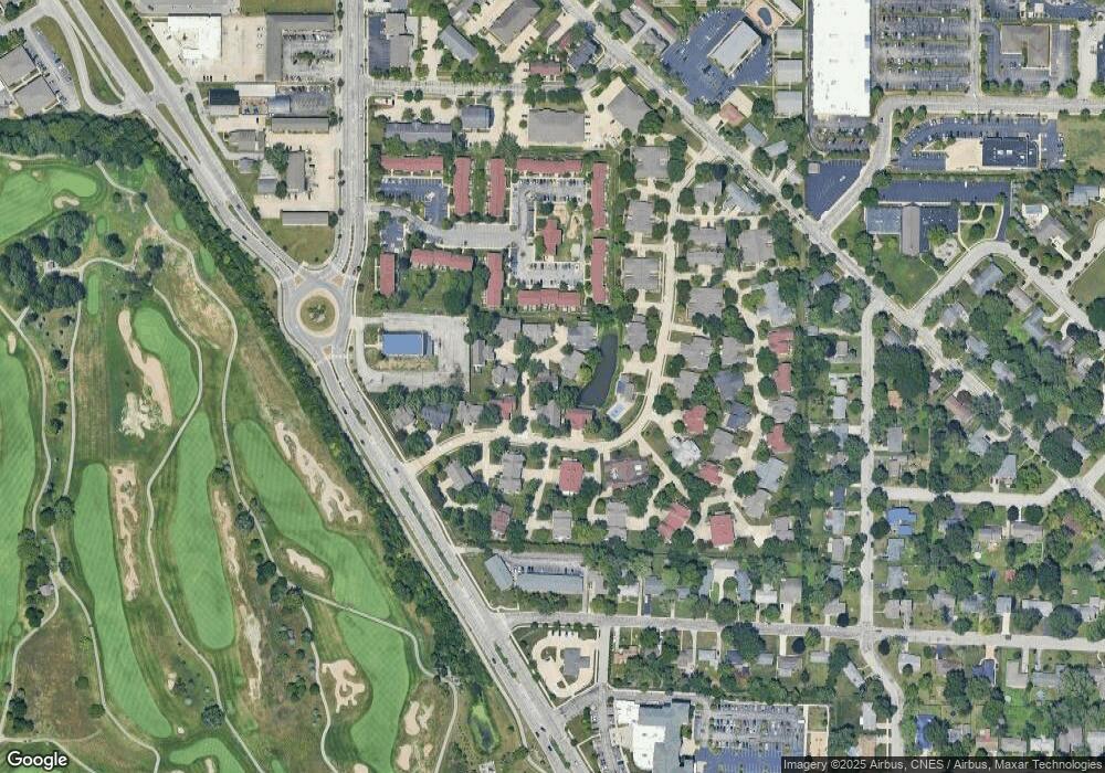
Map
Nearby Homes
- 1190 Camelback Blvd
- 1201 Lindberg Rd
- 2306 Carmel Dr
- 2212 Sycamore Ln
- 1912 Indian Trail Dr
- 1909 Indian Trail Dr
- 701 Carrolton Blvd
- 500 Carrolton Blvd
- 106 W Navajo St
- 509 Carrolton Blvd
- 631 Kent Ave
- 624 Kent Ave
- 618 Northridge Dr
- 1744 Sandpiper Dr
- 2843 Barlow St
- 987 Marwyck St
- 2801 Henderson St
- 1220 Ravinia Rd
- 448 Westview Cir
- 2825 Henderson St