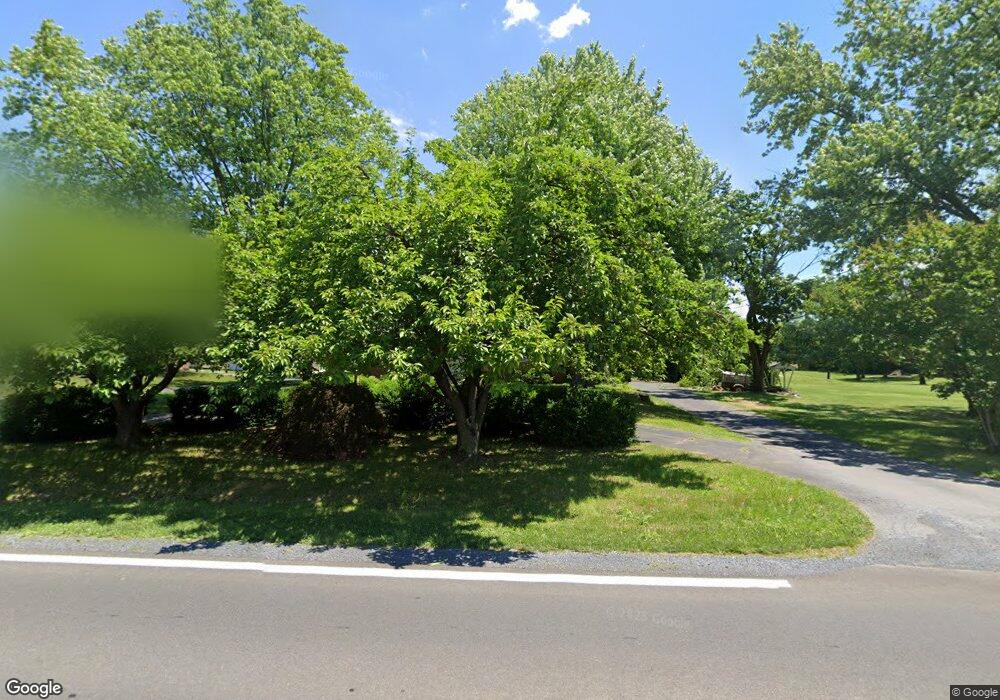
514 Welltown Rd Winchester, VA 22603
Estimated Value: $412,192 - $472,000
3
Beds
2
Baths
1,578
Sq Ft
$279/Sq Ft
Est. Value
About This Home
This home is located at 514 Welltown Rd, Winchester, VA 22603 and is currently estimated at $440,298, approximately $279 per square foot. 514 Welltown Rd is a home located in Frederick County with nearby schools including Stonewall Elementary School, James Wood Middle School, and James Wood High School.
Ownership History
Date
Name
Owned For
Owner Type
Purchase Details
Closed on
Apr 27, 2005
Sold by
Farrace George
Bought by
Davis Shawntaya
Current Estimated Value
Home Financials for this Owner
Home Financials are based on the most recent Mortgage that was taken out on this home.
Original Mortgage
$220,800
Outstanding Balance
$115,939
Interest Rate
5.95%
Mortgage Type
New Conventional
Estimated Equity
$324,359
Purchase Details
Closed on
Oct 20, 2004
Sold by
Godlove Jeffrey H
Bought by
Farrace George P
Create a Home Valuation Report for This Property
The Home Valuation Report is an in-depth analysis detailing your home's value as well as a comparison with similar homes in the area
Home Values in the Area
Average Home Value in this Area
Purchase History
| Date | Buyer | Sale Price | Title Company |
|---|---|---|---|
| Davis Shawntaya | $276,000 | -- | |
| Farrace George P | $205,000 | -- |
Source: Public Records
Mortgage History
| Date | Status | Borrower | Loan Amount |
|---|---|---|---|
| Open | Davis Shawntaya | $220,800 |
Source: Public Records
Tax History Compared to Growth
Tax History
| Year | Tax Paid | Tax Assessment Tax Assessment Total Assessment is a certain percentage of the fair market value that is determined by local assessors to be the total taxable value of land and additions on the property. | Land | Improvement |
|---|---|---|---|---|
| 2025 | $1,775 | $369,740 | $83,000 | $286,740 |
| 2024 | $781 | $306,100 | $64,500 | $241,600 |
| 2023 | $1,561 | $306,100 | $64,500 | $241,600 |
| 2022 | $1,464 | $240,000 | $58,500 | $181,500 |
| 2021 | $1,464 | $240,000 | $58,500 | $181,500 |
| 2020 | $1,327 | $217,600 | $58,500 | $159,100 |
| 2019 | $1,327 | $217,600 | $58,500 | $159,100 |
| 2018 | $1,301 | $213,300 | $68,500 | $144,800 |
| 2017 | $1,280 | $213,300 | $68,500 | $144,800 |
| 2016 | $1,170 | $195,000 | $56,000 | $139,000 |
| 2015 | $1,092 | $195,000 | $56,000 | $139,000 |
| 2014 | $492 | $183,200 | $56,000 | $127,200 |
Source: Public Records
Map
Nearby Homes
- 0 Market St Unit VAFV2004914
- 153 Welltown Rd
- 0 Amoco Unit VAFV2010648
- 148 Amoco Ln
- Lot 23 Williamson
- 123 Castaway Place
- 128 Wagtail Ln
- 126 Wagtail Ln
- 105 Castaway Place
- 123 Castaway Place
- 110 Carnation Way
- 116 Magpie Ln
- 505 Glendobbin Rd
- 2673 Martinsburg Pike
- 120 Magpie Ln
- 120 Webster Ct
- 105 Castaway Place
- 108 Lawford
- 110 Lawford Way
- 102 Heirloom
- 522 Welltown Rd
- 532 Welltown Rd
- 490 Welltown Rd
- 515 Welltown Rd
- 521 Welltown Rd
- 501 Welltown Rd
- 484 Welltown Rd
- 189 Parson Ct
- 552 Welltown Rd
- 486 Welltown Rd
- 0 Welltown Rd Unit 1006647158
- 0 Welltown Rd Unit 1006647098
- 0 Welltown Rd
- 0 Welltown Rd Unit VAFV2012546
- 0 Welltown Rd Unit FV7236234
- 0 Welltown Rd Unit FV7236239
- 0 Welltown Rd Unit VAFV158842
- 0 Welltown Rd Unit 1009874824
- 485 Welltown Rd
- 479 Welltown Rd