514 Wheatland Ct Lincoln University, PA 19352
Estimated Value: $596,800 - $709,000
4
Beds
3
Baths
2,520
Sq Ft
$264/Sq Ft
Est. Value
About This Home
This home is located at 514 Wheatland Ct, Lincoln University, PA 19352 and is currently estimated at $664,950, approximately $263 per square foot. 514 Wheatland Ct is a home located in Chester County with nearby schools including Penn London Elementary School, Avon Grove Intermediate School, and Fred S Engle Middle School.
Ownership History
Date
Name
Owned For
Owner Type
Purchase Details
Closed on
Jul 31, 2007
Sold by
Brown William C and Brown Margaret J
Bought by
Devlin Daniel and Devlin Kimberly A
Current Estimated Value
Home Financials for this Owner
Home Financials are based on the most recent Mortgage that was taken out on this home.
Original Mortgage
$333,000
Outstanding Balance
$207,692
Interest Rate
6.37%
Mortgage Type
Purchase Money Mortgage
Estimated Equity
$457,258
Create a Home Valuation Report for This Property
The Home Valuation Report is an in-depth analysis detailing your home's value as well as a comparison with similar homes in the area
Home Values in the Area
Average Home Value in this Area
Purchase History
| Date | Buyer | Sale Price | Title Company |
|---|---|---|---|
| Devlin Daniel | $418,878 | None Available |
Source: Public Records
Mortgage History
| Date | Status | Borrower | Loan Amount |
|---|---|---|---|
| Open | Devlin Daniel | $333,000 |
Source: Public Records
Tax History Compared to Growth
Tax History
| Year | Tax Paid | Tax Assessment Tax Assessment Total Assessment is a certain percentage of the fair market value that is determined by local assessors to be the total taxable value of land and additions on the property. | Land | Improvement |
|---|---|---|---|---|
| 2025 | $8,771 | $216,560 | $74,170 | $142,390 |
| 2024 | $8,771 | $216,560 | $74,170 | $142,390 |
| 2023 | $8,479 | $216,560 | $74,170 | $142,390 |
| 2022 | $8,461 | $216,560 | $74,170 | $142,390 |
| 2021 | $8,286 | $216,560 | $74,170 | $142,390 |
| 2020 | $8,008 | $216,560 | $74,170 | $142,390 |
| 2019 | $7,809 | $216,560 | $74,170 | $142,390 |
| 2018 | $7,610 | $216,560 | $74,170 | $142,390 |
| 2017 | $7,452 | $216,560 | $74,170 | $142,390 |
| 2016 | $6,188 | $216,560 | $74,170 | $142,390 |
| 2015 | $6,188 | $216,560 | $74,170 | $142,390 |
| 2014 | $6,188 | $216,560 | $74,170 | $142,390 |
Source: Public Records
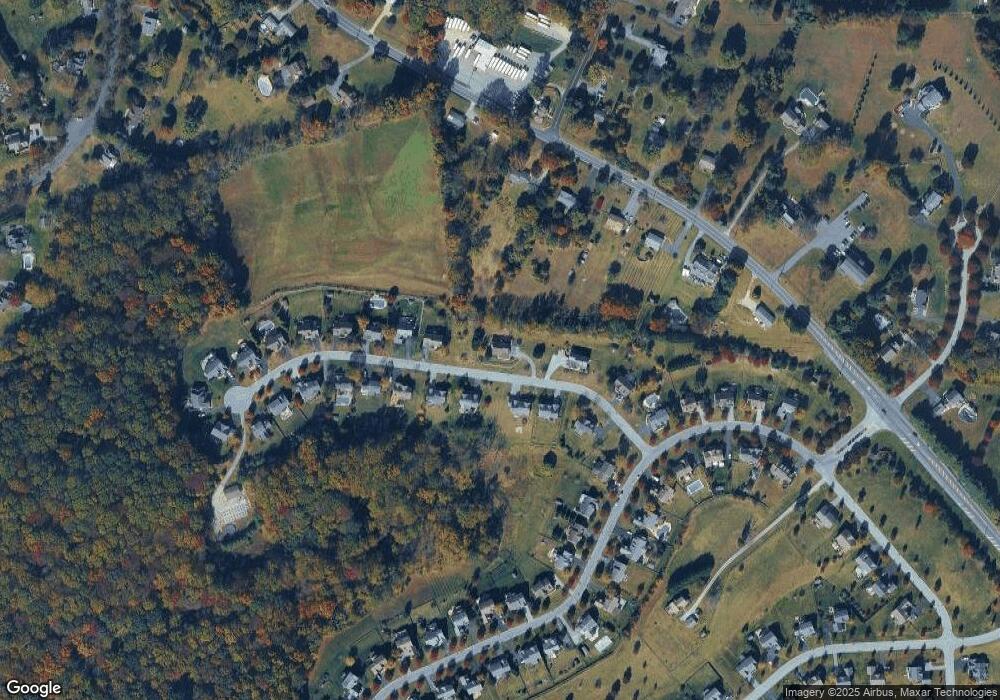
Map
Nearby Homes
- 200 Armitage Ct
- 12 Owenwood Dr
- 132 Hess Mill Rd
- 570 Lewisville Rd
- 524 Chesterville Rd
- Sebastian Plan at Lexington Point
- Savannah Plan at Lexington Point
- Nottingham Plan at Lexington Point
- Covington Plan at Lexington Point
- Arcadia Plan at Lexington Point
- Ethan Plan at Lexington Point
- Magnolia Plan at Lexington Point
- Caldwell Plan at Lexington Point
- Andrews Plan at Lexington Point
- Kipling Plan at Lexington Point
- Lachlan Plan at Lexington Point
- Devonshire Plan at Lexington Point
- Hawthorne Plan at Lexington Point
- Augusta Plan at Lexington Point
- Woodford Plan at Lexington Point
- 540 Wheatland Ct
- 513 Wheatland Ct
- 510 Wheatland Ct
- 521 Wheatland Ct
- 526 Wheatland Ct
- 509 Wheatland Ct
- 525 Wheatland Ct
- 505 Wheatland Ct
- 530 Wheatland Ct
- 529 Wheatland Ct
- 504 Wheatland Ct
- 534 Wheatland Ct
- 533 Wheatland Ct
- 283 Millhouse Dr
- 536 Wheatland Ct
- 1939 Newark Rd
- 500 Wheatland Ct
- 1937 Newark Rd
- 538 Wheatland Ct
- 1941 Newark Rd