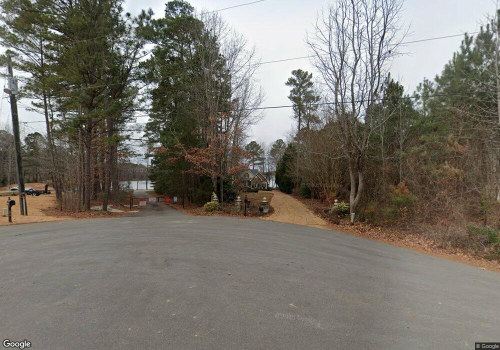
514 Windsong Dr Roanoke Rapids, NC 27870
Estimated Value: $685,840 - $916,000
3
Beds
3
Baths
3,100
Sq Ft
$258/Sq Ft
Est. Value
About This Home
This home is located at 514 Windsong Dr, Roanoke Rapids, NC 27870 and is currently estimated at $800,920, approximately $258 per square foot. 514 Windsong Dr is a home located in Halifax County with nearby schools including Everetts Elementary School and William R. Davie Middle School.
Ownership History
Date
Name
Owned For
Owner Type
Purchase Details
Closed on
Sep 1, 2010
Sold by
Moseley Willie G and Moseley Catherine C
Bought by
Taylor John W and Alexander Taylor Janice M
Current Estimated Value
Home Financials for this Owner
Home Financials are based on the most recent Mortgage that was taken out on this home.
Original Mortgage
$244,000
Outstanding Balance
$162,343
Interest Rate
4.59%
Estimated Equity
$638,577
Create a Home Valuation Report for This Property
The Home Valuation Report is an in-depth analysis detailing your home's value as well as a comparison with similar homes in the area
Home Values in the Area
Average Home Value in this Area
Purchase History
| Date | Buyer | Sale Price | Title Company |
|---|---|---|---|
| Taylor John W | $305,000 | -- |
Source: Public Records
Mortgage History
| Date | Status | Borrower | Loan Amount |
|---|---|---|---|
| Open | Taylor John W | $244,000 |
Source: Public Records
Tax History Compared to Growth
Tax History
| Year | Tax Paid | Tax Assessment Tax Assessment Total Assessment is a certain percentage of the fair market value that is determined by local assessors to be the total taxable value of land and additions on the property. | Land | Improvement |
|---|---|---|---|---|
| 2025 | $44 | $475,500 | $136,000 | $339,500 |
| 2024 | $44 | $475,500 | $136,000 | $339,500 |
| 2023 | $4,136 | $418,300 | $136,000 | $282,300 |
| 2022 | $4,222 | $418,300 | $136,000 | $282,300 |
| 2021 | $4,127 | $418,300 | $136,000 | $282,300 |
| 2020 | $4,200 | $418,300 | $136,000 | $282,300 |
| 2019 | $4,059 | $136,000 | $136,000 | $0 |
| 2018 | $3,977 | $397,800 | $136,000 | $261,800 |
| 2017 | $4,014 | $397,800 | $136,000 | $261,800 |
| 2016 | $3,694 | $397,800 | $136,000 | $261,800 |
| 2015 | $3,424 | $397,800 | $136,000 | $261,800 |
| 2014 | $4,578 | $568,880 | $296,160 | $272,720 |
Source: Public Records
Map
Nearby Homes
- Lot 147 Knotts Ln
- Lot 2 Edgewater Dr
- Lot 13 Halyard Dr
- Lot 1 Stonegate Dr
- 991 van Warren Rd
- 154 Davie Wood Dr
- 0 Eagle Crest Trail Unit 139666
- 552 Jack Brown Rd
- Lot 12 Canoe Creek Rd
- Lot 8 Canoe Creek Rd
- 37 Bald Eagle Dr
- 36 Bald Eagle Dr
- 35 Bald Eagle Dr
- 34 Bald Eagle Dr
- 33 Bald Eagle Dr
- 32 Bald Eagle Dr
- 31 Bald Eagle Dr
- 29 Bald Eagle Dr
- 28 Bald Eagle Dr
- 25 Bald Eagle Dr
- 496 Windsong Rd
- 524 Windsong Rd
- 519 Windsong Rd
- 519 Windsong Dr
- 432 Windsong Rd
- 437 Windsong Dr
- 641 Chloe Woods Trail
- 641 Chloe Woods Trail
- 641 Chloe Woods Trail
- 641 Chloe Woods Trail
- 298 Deep Creek Point
- 511 Deep Creek Point
- 336 Windsong Rd
- 412 Windsong Rd
- 487 Deep Creek Point
- 465 Deep Creek Point
- 351 Windsong Dr
- 477 McDonald Rd
- 296 Deep Creek Point
- 439 Deep Creek Point