5140 Paw Paw Rd Cambridge, MD 21613
Estimated Value: $314,000 - $602,000
--
Bed
1
Bath
1,260
Sq Ft
$380/Sq Ft
Est. Value
About This Home
This home is located at 5140 Paw Paw Rd, Cambridge, MD 21613 and is currently estimated at $478,227, approximately $379 per square foot. 5140 Paw Paw Rd is a home located in Dorchester County with nearby schools including Maple Elementary School, Mace's Lane Middle School, and Cambridge-South Dorchester High School.
Ownership History
Date
Name
Owned For
Owner Type
Purchase Details
Closed on
Oct 14, 2005
Sold by
Blane Robert T
Bought by
Blane Robert T
Current Estimated Value
Purchase Details
Closed on
Oct 6, 2005
Sold by
Blane Robert T
Bought by
Blane Robert T
Purchase Details
Closed on
May 30, 2003
Sold by
Morrison Raymond L and Morrison Jo Anne
Bought by
Blane Robert T
Purchase Details
Closed on
Dec 21, 2000
Sold by
Davis A David Kathleen S
Bought by
Morrison Raymond L and Morrison Jo Anne
Create a Home Valuation Report for This Property
The Home Valuation Report is an in-depth analysis detailing your home's value as well as a comparison with similar homes in the area
Home Values in the Area
Average Home Value in this Area
Purchase History
| Date | Buyer | Sale Price | Title Company |
|---|---|---|---|
| Blane Robert T | -- | -- | |
| Blane Robert T | -- | -- | |
| Blane Robert T | $355,000 | -- | |
| Morrison Raymond L | $209,000 | -- |
Source: Public Records
Mortgage History
| Date | Status | Borrower | Loan Amount |
|---|---|---|---|
| Closed | Morrison Raymond L | -- |
Source: Public Records
Tax History Compared to Growth
Tax History
| Year | Tax Paid | Tax Assessment Tax Assessment Total Assessment is a certain percentage of the fair market value that is determined by local assessors to be the total taxable value of land and additions on the property. | Land | Improvement |
|---|---|---|---|---|
| 2025 | $4,305 | $371,700 | $243,500 | $128,200 |
| 2024 | $3,929 | $359,800 | $0 | $0 |
| 2023 | $3,929 | $347,900 | $0 | $0 |
| 2022 | $3,796 | $336,000 | $243,500 | $92,500 |
| 2021 | $3,796 | $336,000 | $243,500 | $92,500 |
| 2020 | $3,796 | $336,000 | $243,500 | $92,500 |
| 2019 | $3,809 | $337,100 | $243,500 | $93,600 |
| 2018 | $3,803 | $336,600 | $0 | $0 |
| 2017 | $3,710 | $336,100 | $0 | $0 |
| 2016 | -- | $335,600 | $0 | $0 |
| 2015 | -- | $335,600 | $0 | $0 |
| 2014 | -- | $335,600 | $0 | $0 |
Source: Public Records
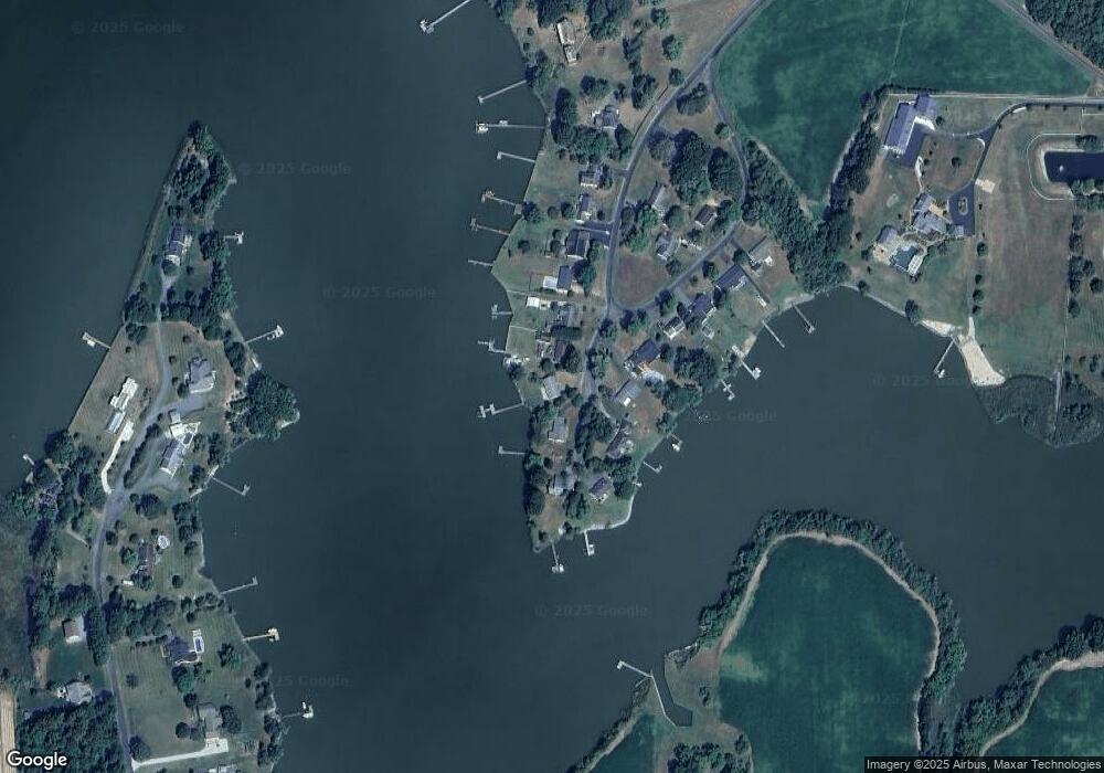
Map
Nearby Homes
- 5210 Wilson Rd
- 0 Silver Goose Rd Unit Lot WP001
- 2040 Dailsville Rd
- 4910 Gregory Rd
- 2191 Winterberry Ln
- 2189 Winterberry Ln
- 2212 Winterberry Ln
- 1622 Town Point Rd
- 1701 Perseus Rd
- 0 N S Dailsville Rd
- 5219 Heron Rd
- 5223 Heron Rd
- 5214 Heron Rd
- 5216 Heron Rd
- 2365 Church Creek Rd
- 5229 Heron Rd
- 5226 Heron Rd
- 1529 Deep Water Rd
- 1609 Heliport Rd
- 2420 Cambridge Beltway
- 5142 Paw Paw Rd
- 5138 Paw Paw Rd
- 5144 Paw Paw Rd
- 5144 Paw Paw Rd
- 5132 Paw Paw Rd
- 5130 Paw Paw Rd
- 5130 Paw Rd
- 5136 Paw Paw Rd
- 5128 Paw Paw Rd
- 5146 Paw Paw Rd
- 5128 Paw Acres
- 5134 Paw Rd
- 5146 Paw Paw Rd
- 5134 Paw Paw Rd
- 5128 Paw Rd
- 5126 Paw Paw Rd
- 5148 Paw Paw Rd
- 5148 Paw Rd
- 5150 Paw Paw Rd
- 5150 Paw Paw Rd