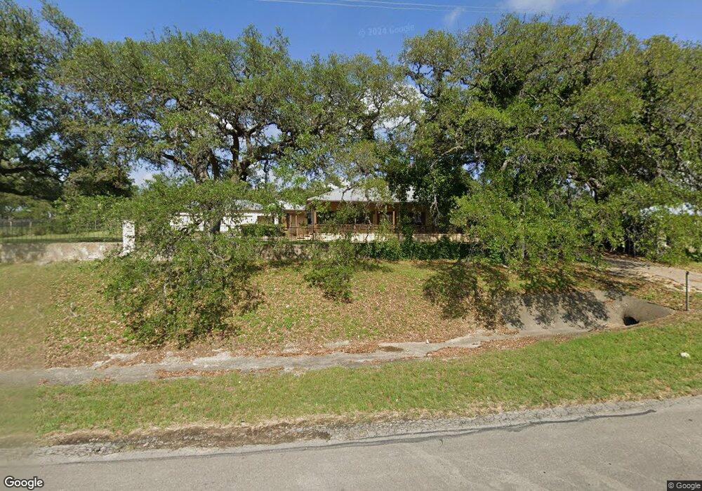
5140 Us Highway 281 N Spring Branch, TX 78070
Far North San Antonio NeighborhoodEstimated Value: $601,000 - $873,127
--
Bed
1
Bath
3,094
Sq Ft
$240/Sq Ft
Est. Value
About This Home
This home is located at 5140 Us Highway 281 N, Spring Branch, TX 78070 and is currently estimated at $743,032, approximately $240 per square foot. 5140 Us Highway 281 N is a home located in Comal County with nearby schools including Bill Brown Elementary School, Smithson Valley Middle School, and Smithson Valley High School.
Ownership History
Date
Name
Owned For
Owner Type
Purchase Details
Closed on
Dec 7, 2006
Sold by
Gomez Bernadette
Bought by
Gomez Rosalinda Robles
Current Estimated Value
Create a Home Valuation Report for This Property
The Home Valuation Report is an in-depth analysis detailing your home's value as well as a comparison with similar homes in the area
Home Values in the Area
Average Home Value in this Area
Purchase History
| Date | Buyer | Sale Price | Title Company |
|---|---|---|---|
| Gomez Rosalinda Robles | -- | None Available |
Source: Public Records
Tax History Compared to Growth
Tax History
| Year | Tax Paid | Tax Assessment Tax Assessment Total Assessment is a certain percentage of the fair market value that is determined by local assessors to be the total taxable value of land and additions on the property. | Land | Improvement |
|---|---|---|---|---|
| 2025 | $11,048 | $835,220 | $218,910 | $616,310 |
| 2024 | $11,048 | $830,370 | $218,910 | $611,460 |
| 2023 | $11,048 | $825,260 | $233,500 | $591,760 |
| 2022 | $12,635 | $825,260 | $233,500 | $591,760 |
| 2021 | $18,598 | $947,240 | $472,540 | $474,700 |
| 2020 | $16,602 | $816,680 | $363,260 | $453,420 |
| 2019 | $11,978 | $584,960 | $363,260 | $221,700 |
| 2018 | $11,292 | $555,120 | $363,260 | $191,860 |
| 2017 | $11,471 | $568,610 | $363,260 | $205,350 |
| 2016 | $11,311 | $560,690 | $363,260 | $197,430 |
| 2015 | $9,968 | $537,460 | $363,260 | $174,200 |
| 2014 | $9,968 | $530,780 | $363,260 | $167,520 |
Source: Public Records
Map
Nearby Homes
- 154 Coral Cove
- 316 Ballad Bluffs
- 2437 River Way
- 1855 Texas Oaks
- 194 Night Sky
- 513 Concerto Ct
- 137 Rodeo Dr
- 333 Canon Hill Dr
- 313 Canon Hill Dr
- 324 Rhapsody Ridge
- 138 Rodeo Dr
- 2317 Frontier
- 212 Wentworth
- 339 Long Meadow
- 225 Treble Knoll
- 221 Treble Knoll
- 537 Allegro Edge
- 329 Chorus Canyon
- 260 Wentworth
- 111 Saddle Ridge
- 5310 Us Highway 281 N
- 2004 Cedar Hill Dr
- 2004 Cedar Hill Dr Unit 4
- 2004 Cedar Hill Dr Unit 3
- 2004 Cedar Hill Dr Unit 2
- 2004 Cedar Hill Dr Unit 5
- 2004 Cedar Hill Dr Unit 1
- 5324 Us Highway 281 N
- 3084 View Ridge Dr
- 5340 Us Highway 281 N
- 315 Flying R Ranch Rd
- 2003 Cedar Hill Dr
- 1201 Texas Oaks
- 3072 View Ridge Dr
- 3072 View Ridge Dr
- 4811 Us Highway 281 N
- 5375 Us Highway 281 N
- 1225 Texas Oaks
- 1225 Texas Oaks Unit E
- 1225 Texas Oaks Unit C