Estimated Value: $327,865 - $352,000
3
Beds
2
Baths
1,803
Sq Ft
$187/Sq Ft
Est. Value
About This Home
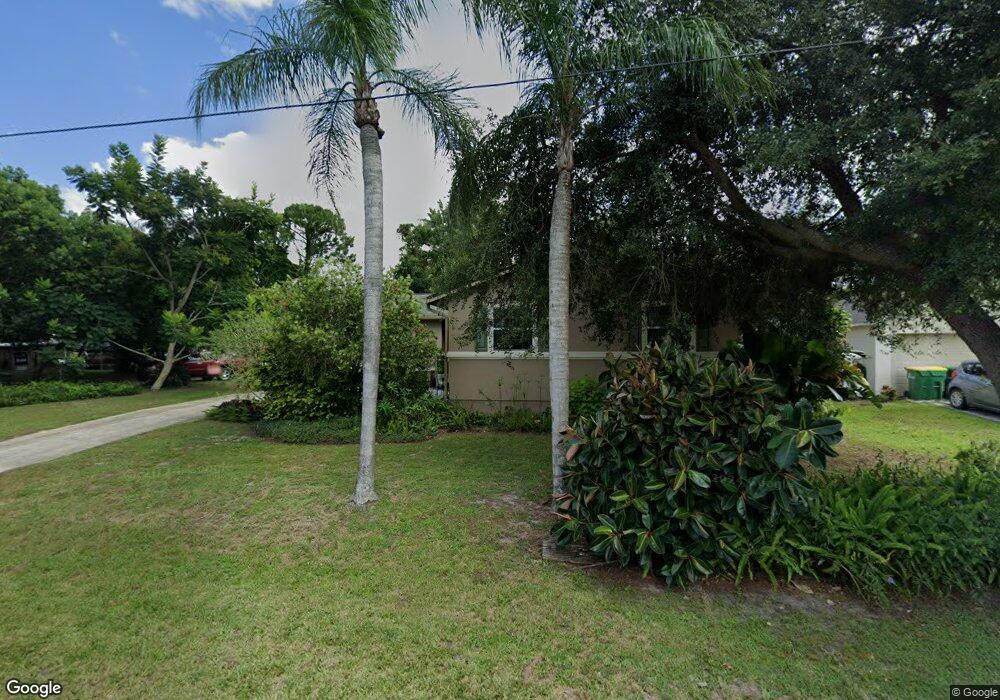
This home is located at 5143 Arlington Rd, Cocoa, FL 32927 and is currently estimated at $337,966, approximately $187 per square foot. 5143 Arlington Rd is a home located in Brevard County with nearby schools including Challenger 7 Elementary School, Space Coast Junior/Senior High School, and Sculptor Charter School.
Ownership History
Date
Name
Owned For
Owner Type
Purchase Details
Closed on
Feb 20, 2015
Sold by
Desanto Robert T
Bought by
Desanto Robert T and Desanto Teresa
Current Estimated Value
Home Financials for this Owner
Home Financials are based on the most recent Mortgage that was taken out on this home.
Original Mortgage
$108,109
Outstanding Balance
$85,720
Interest Rate
4.75%
Mortgage Type
FHA
Estimated Equity
$252,246
Purchase Details
Closed on
Apr 8, 1997
Sold by
Desanto Robert T and Desanto Elisa R
Bought by
Desanto Robert T and Desanto Elisa R
Create a Home Valuation Report for This Property
The Home Valuation Report is an in-depth analysis detailing your home's value as well as a comparison with similar homes in the area
Home Values in the Area
Average Home Value in this Area
Purchase History
| Date | Buyer | Sale Price | Title Company |
|---|---|---|---|
| Desanto Robert T | $35,400 | United Title Group Llc | |
| Desanto Robert T | -- | -- |
Source: Public Records
Mortgage History
| Date | Status | Borrower | Loan Amount |
|---|---|---|---|
| Open | Desanto Robert T | $108,109 |
Source: Public Records
Tax History Compared to Growth
Tax History
| Year | Tax Paid | Tax Assessment Tax Assessment Total Assessment is a certain percentage of the fair market value that is determined by local assessors to be the total taxable value of land and additions on the property. | Land | Improvement |
|---|---|---|---|---|
| 2025 | $1,423 | $97,990 | -- | -- |
| 2024 | $1,384 | $95,230 | -- | -- |
| 2023 | $1,384 | $92,460 | $0 | $0 |
| 2022 | $1,292 | $89,770 | $0 | $0 |
| 2021 | $1,283 | $87,160 | $0 | $0 |
| 2020 | $1,205 | $85,960 | $0 | $0 |
| 2019 | $1,138 | $84,030 | $0 | $0 |
| 2018 | $1,128 | $82,470 | $0 | $0 |
| 2017 | $1,115 | $80,780 | $0 | $0 |
| 2016 | $1,113 | $79,120 | $18,000 | $61,120 |
| 2015 | $1,049 | $73,350 | $15,000 | $58,350 |
| 2014 | $1,054 | $72,770 | $11,000 | $61,770 |
Source: Public Records
Map
Nearby Homes
- 5149 Arlington Rd Unit 104
- 00 Unknown
- 0000 Grissom Pkwy
- 6375 Cable Ave
- 6735 Grissom Pkwy
- 5145 Fay Blvd
- 6615 Dock Ave
- 5220 Holden Rd
- 6240 Grissom Pkwy
- 5275 Holden Rd
- 4975 Fay Blvd
- 5049 Jamaica Rd
- 6390 Depot Ave
- 5090 Market St
- 6840 Anecia Ave
- 5265 Fay Blvd
- 6581 Bancroft Ave
- 6175 Grissom Pkwy
- 6061 Banbury Ave
- 5155 Mayflower St
- 5149 Arlington Rd
- 5131 Arlington Rd
- 0 Arlington Rd
- 5190 Fruitport St
- 5148 Arlington Rd
- 5155 Arlington Rd
- 5136 Arlington Rd
- 5200 Fruitport St
- 5170 Fruitport St
- 5152 Arlington Rd
- 5125 Arlington Rd
- 5210 Fruitport St
- 5120 Arlington Rd
- 5160 Arlington Rd
- 5135 Garfield St
- 362 Akron St S
- 2401 N Highway 1 Hwy NW Unit 204
- 7240 N Highway 1 W Unit 103
- 5167 Arlington Rd
- 5220 Fruitport St