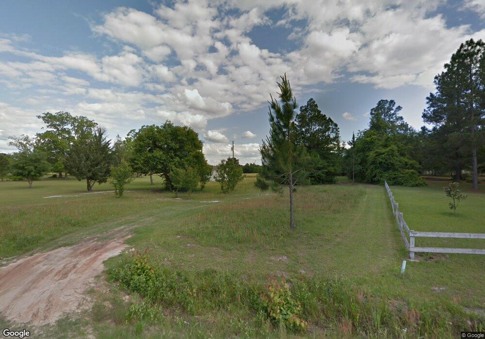
5143 Bennett Rd Screven, GA 31560
Estimated Value: $167,327 - $243,000
3
Beds
2
Baths
1,344
Sq Ft
$148/Sq Ft
Est. Value
About This Home
This home is located at 5143 Bennett Rd, Screven, GA 31560 and is currently estimated at $198,582, approximately $147 per square foot. 5143 Bennett Rd is a home located in Wayne County with nearby schools including Screven Elementary School, Arthur Williams Middle School, and Wayne County High School.
Ownership History
Date
Name
Owned For
Owner Type
Purchase Details
Closed on
Mar 25, 2021
Sold by
Providence Assets Llc
Bought by
Sikes Tammy
Current Estimated Value
Purchase Details
Closed on
Mar 9, 2017
Bought by
Kingdom First Properties Llc
Purchase Details
Closed on
Sep 6, 2016
Sold by
Marcus A
Bought by
Us Bank National Association T
Purchase Details
Closed on
Nov 23, 2015
Sold by
Driggers Jesse J
Bought by
Newman Frances A
Purchase Details
Closed on
Mar 1, 2005
Sold by
Driggers Jesse J
Bought by
Driggers Marcus A
Create a Home Valuation Report for This Property
The Home Valuation Report is an in-depth analysis detailing your home's value as well as a comparison with similar homes in the area
Home Values in the Area
Average Home Value in this Area
Purchase History
| Date | Buyer | Sale Price | Title Company |
|---|---|---|---|
| Sikes Tammy | $26,100 | -- | |
| Kingdom First Properties Llc | $11,150 | -- | |
| Us Bank National Association T | -- | -- | |
| Newman Frances A | $9,332 | -- | |
| Driggers Marcus A | -- | -- |
Source: Public Records
Tax History Compared to Growth
Tax History
| Year | Tax Paid | Tax Assessment Tax Assessment Total Assessment is a certain percentage of the fair market value that is determined by local assessors to be the total taxable value of land and additions on the property. | Land | Improvement |
|---|---|---|---|---|
| 2024 | $1,442 | $54,446 | $974 | $53,472 |
| 2023 | $1,433 | $47,762 | $974 | $46,788 |
| 2022 | $329 | $38,404 | $974 | $37,430 |
| 2021 | $1,158 | $34,343 | $974 | $33,369 |
| 2020 | $1,292 | $37,029 | $3,660 | $33,369 |
| 2019 | $1,330 | $37,029 | $3,660 | $33,369 |
| 2018 | $144 | $37,029 | $3,660 | $33,369 |
| 2017 | $1,145 | $37,029 | $3,660 | $33,369 |
| 2016 | -- | $37,029 | $3,660 | $33,369 |
| 2014 | -- | $37,029 | $3,660 | $33,369 |
| 2013 | -- | $37,028 | $3,660 | $33,368 |
Source: Public Records
Map
Nearby Homes
- 0 Dale Mill Rd
- 102 Highsmith Ave
- 868 Broadhurst Rd W
- 107 Gaffney St
- 109 Joyner St
- 301 Whitaker Dr
- 406 Cw Collins St
- 9009 Waycross Hwy
- 391 S Forks Rd
- 0 S Forks Rd
- 7132 Waycross Hwy
- 7114 Waycross Hwy
- 7014 Waycross Hwy
- 59 Enoch Moody Rd
- 301 Broadhurst Rd
- 675 Foxwood Cir
- 0 Us Highway 301
- 362 Crosby Ln
- 88 Minnesota Rd
- 0 Rogers Break Unit 1656131
- 5150 Bennett Rd
- 11122 Waycross Hwy
- 98 Fleming Ln
- 76 Fleming Ln
- 233 Easy St
- 5148 Bennett Rd
- 10805 Waycross Hwy
- 168 Easy St
- 10825 Waycross Hwy
- 630 Martha St
- 5127 Bennett Rd
- 10785 Waycross Hwy
- 622 Martha St
- 10934 Waycross Hwy
- 634 Martha St
- 10850 Waycross Hwy
- 545 Martha St
- 627 Martha St
- 650 Martha St
- 11311 Waycross Hwy