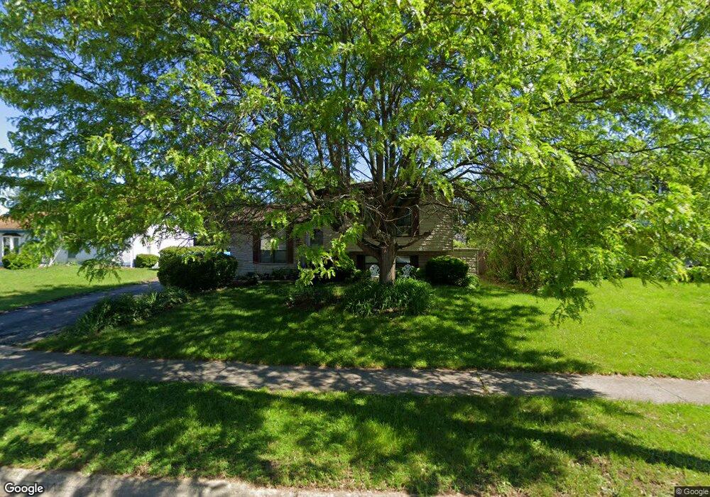
5144 Tuxworth Ct Columbus, OH 43232
East Columbus-White Ash NeighborhoodEstimated Value: $191,000 - $219,000
4
Beds
2
Baths
957
Sq Ft
$212/Sq Ft
Est. Value
About This Home
This home is located at 5144 Tuxworth Ct, Columbus, OH 43232 and is currently estimated at $202,912, approximately $212 per square foot. 5144 Tuxworth Ct is a home located in Franklin County with nearby schools including Groveport Madison High School, A+ Arts Academy, and Eastland Preparatory Academy.
Ownership History
Date
Name
Owned For
Owner Type
Purchase Details
Closed on
Sep 3, 1996
Sold by
Nye Wayne R
Bought by
Sacksith Dennis C and Sacksith Elizabeth M
Current Estimated Value
Home Financials for this Owner
Home Financials are based on the most recent Mortgage that was taken out on this home.
Original Mortgage
$87,653
Outstanding Balance
$7,593
Interest Rate
8.3%
Mortgage Type
FHA
Estimated Equity
$195,319
Purchase Details
Closed on
Nov 3, 1989
Create a Home Valuation Report for This Property
The Home Valuation Report is an in-depth analysis detailing your home's value as well as a comparison with similar homes in the area
Home Values in the Area
Average Home Value in this Area
Purchase History
| Date | Buyer | Sale Price | Title Company |
|---|---|---|---|
| Sacksith Dennis C | $87,900 | -- | |
| -- | $74,000 | -- |
Source: Public Records
Mortgage History
| Date | Status | Borrower | Loan Amount |
|---|---|---|---|
| Open | Sacksith Dennis C | $87,653 |
Source: Public Records
Tax History Compared to Growth
Tax History
| Year | Tax Paid | Tax Assessment Tax Assessment Total Assessment is a certain percentage of the fair market value that is determined by local assessors to be the total taxable value of land and additions on the property. | Land | Improvement |
|---|---|---|---|---|
| 2024 | $3,080 | $60,870 | $17,190 | $43,680 |
| 2023 | $2,952 | $60,870 | $17,190 | $43,680 |
| 2022 | $2,215 | $35,810 | $7,210 | $28,600 |
| 2021 | $2,224 | $35,810 | $7,210 | $28,600 |
| 2020 | $2,254 | $35,810 | $7,210 | $28,600 |
| 2019 | $2,138 | $31,440 | $6,270 | $25,170 |
| 2018 | $2,057 | $31,440 | $6,270 | $25,170 |
| 2017 | $2,155 | $31,440 | $6,270 | $25,170 |
| 2016 | $2,012 | $26,610 | $4,660 | $21,950 |
| 2015 | $1,964 | $26,610 | $4,660 | $21,950 |
| 2014 | $1,983 | $26,610 | $4,660 | $21,950 |
| 2013 | $944 | $29,575 | $5,180 | $24,395 |
Source: Public Records
Map
Nearby Homes
- 5125 Upton Rd N
- 2901 Renfro Rd
- 2900 Ronda Rd
- 2998 Osgood Rd E
- 3000 Whitlow Rd
- 3246 Latonia Rd
- 5152 Burdett Dr
- 4847 Amber Crossing Dr
- 5373 Spire Ln
- 4784 Nieles Edge Dr
- 5401 Spire Ln
- 4906 Refugee Rd
- 4783 Nieles Edge Dr
- 3387 Retriever Rd
- 5137 Holbrook Dr
- 5397 Jack Russell Way
- 2615 Carbondale Place
- 5254 Sedalia Dr
- 5278 Glenbriar Ct
- 5377 Bleaker Ave
- 5152 Tuxworth Ct
- 5134 Tuxworth Ct
- 5156 Tuxworth Ct
- 5122 Tuxworth Ct
- 5153 Tuxworth Ct
- 5178 Tuxworth Ct
- 5125 Parkline Dr
- 5100 Tuxworth Ct
- 5133 Parkline Dr
- 5135 Tuxworth Ct
- 5117 Parkline Dr
- 5155 Tuxworth Ct
- 5143 Parkline Dr
- 5121 Tuxworth Ct
- 5151 Parkline Dr
- 5109 Parkline Dr
- 3061 Dunloe Rd
- 5177 Tuxworth Ct
- 5160 Rutledge Dr N
- 5178 Rutledge Dr N