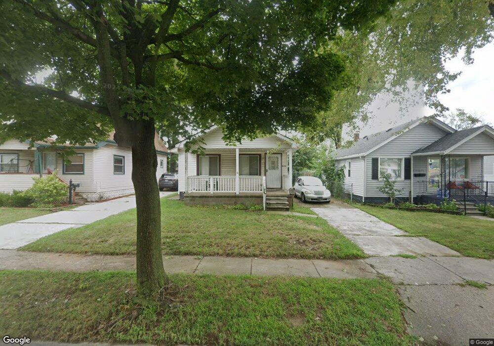
5145 Westpoint St Dearborn Heights, MI 48125
Estimated Value: $162,999 - $172,000
2
Beds
1
Bath
1,152
Sq Ft
$145/Sq Ft
Est. Value
About This Home
This home is located at 5145 Westpoint St, Dearborn Heights, MI 48125 and is currently estimated at $167,500, approximately $145 per square foot. 5145 Westpoint St is a home located in Wayne County with nearby schools including Polk Elementary School, Bedford School, and Pardee School.
Ownership History
Date
Name
Owned For
Owner Type
Purchase Details
Closed on
Jun 7, 2007
Sold by
Neal John R
Bought by
Wachovia Bank Na and Aegis Asset Backed Securities Trust Mort
Current Estimated Value
Purchase Details
Closed on
Jun 29, 2005
Sold by
Zagornik Phillip and Hall Danielle M
Bought by
Neal John R
Purchase Details
Closed on
May 5, 1994
Sold by
Tessari Julia
Bought by
Sparks Robert L
Create a Home Valuation Report for This Property
The Home Valuation Report is an in-depth analysis detailing your home's value as well as a comparison with similar homes in the area
Home Values in the Area
Average Home Value in this Area
Purchase History
| Date | Buyer | Sale Price | Title Company |
|---|---|---|---|
| Wachovia Bank Na | $98,022 | None Available | |
| Neal John R | $112,000 | Multiple | |
| Sparks Robert L | $31,500 | -- |
Source: Public Records
Mortgage History
| Date | Status | Borrower | Loan Amount |
|---|---|---|---|
| Closed | Sparks Robert L | $0 |
Source: Public Records
Tax History Compared to Growth
Tax History
| Year | Tax Paid | Tax Assessment Tax Assessment Total Assessment is a certain percentage of the fair market value that is determined by local assessors to be the total taxable value of land and additions on the property. | Land | Improvement |
|---|---|---|---|---|
| 2025 | $1,563 | $84,100 | $0 | $0 |
| 2024 | $1,563 | $77,400 | $0 | $0 |
| 2023 | $1,479 | $67,000 | $0 | $0 |
| 2022 | $2,208 | $58,100 | $0 | $0 |
| 2021 | $2,193 | $51,800 | $0 | $0 |
| 2019 | $2,110 | $43,400 | $0 | $0 |
| 2018 | $1,327 | $34,100 | $0 | $0 |
| 2017 | $1,467 | $31,000 | $0 | $0 |
| 2016 | $2,023 | $29,300 | $0 | $0 |
| 2015 | $2,723 | $27,300 | $0 | $0 |
| 2013 | $2,780 | $29,000 | $0 | $0 |
| 2010 | -- | $35,700 | $0 | $0 |
Source: Public Records
Map
Nearby Homes
- 4901 Cornell St
- 24035 Currier St
- 4665 Syracuse St
- 24117 Eton Ave
- 5689 Cornell St
- 4489 Westpoint St
- 4506 Syracuse St
- 5671 Syracuse St
- 4474 Syracuse St
- 24339 Eton Ave
- 24360 Pennie St
- 24443 Powers Ave
- 4193 Cornell St
- 4449 Academy St
- 5908 Pine St
- 23214 S Brookside Dr
- 5954 Pine St
- 24426 Lehigh St
- 4459 Parker St
- 24409 Stanford St
- 5121 Westpoint St
- 5149 Westpoint St
- 5157 Westpoint St
- 5144 Cornell St
- 5136 Cornell St
- 5152 Cornell St
- 5117 Westpoint St
- 5128 Cornell St
- 5160 Cornell St
- 5301 Westpoint St
- 5120 Cornell St
- 5079 Westpoint St
- 5140 Westpoint St
- 5128 Westpoint St
- 5150 Westpoint St
- 5158 Westpoint St
- 5106 Cornell St
- 5311 Westpoint St
- 5302 Cornell St
- 5116 Westpoint St