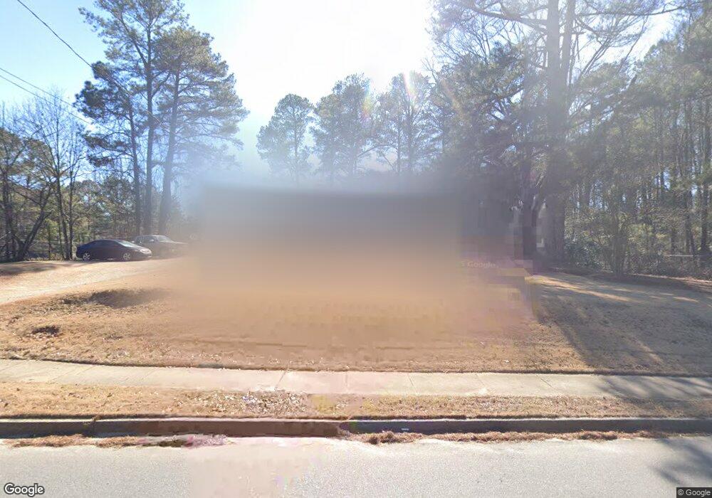
5146 Highpoint Rd Union City, GA 30291
Estimated Value: $160,000 - $249,000
3
Beds
1
Bath
1,127
Sq Ft
$176/Sq Ft
Est. Value
About This Home
This home is located at 5146 Highpoint Rd, Union City, GA 30291 and is currently estimated at $198,779, approximately $176 per square foot. 5146 Highpoint Rd is a home located in Fulton County with nearby schools including Liberty Point Elementary School, Camp Creek Middle School, and Langston Hughes High School.
Ownership History
Date
Name
Owned For
Owner Type
Purchase Details
Closed on
Sep 22, 2020
Sold by
Thurston Darlene A
Bought by
Thurston Melody R
Current Estimated Value
Purchase Details
Closed on
Aug 25, 1997
Sold by
Sec Hud
Bought by
Thurston Melody R and Thurston Darlene
Home Financials for this Owner
Home Financials are based on the most recent Mortgage that was taken out on this home.
Original Mortgage
$68,050
Interest Rate
7.46%
Mortgage Type
FHA
Purchase Details
Closed on
May 6, 1997
Sold by
First Nationwide Mtg Corp
Bought by
Sec Hud
Create a Home Valuation Report for This Property
The Home Valuation Report is an in-depth analysis detailing your home's value as well as a comparison with similar homes in the area
Home Values in the Area
Average Home Value in this Area
Purchase History
| Date | Buyer | Sale Price | Title Company |
|---|---|---|---|
| Thurston Melody R | -- | -- | |
| Thurston Melody R | -- | -- | |
| Sec Hud | -- | -- | |
| First Nationwide Mtg Corp | $47,600 | -- |
Source: Public Records
Mortgage History
| Date | Status | Borrower | Loan Amount |
|---|---|---|---|
| Previous Owner | Thurston Melody R | $68,050 |
Source: Public Records
Tax History Compared to Growth
Tax History
| Year | Tax Paid | Tax Assessment Tax Assessment Total Assessment is a certain percentage of the fair market value that is determined by local assessors to be the total taxable value of land and additions on the property. | Land | Improvement |
|---|---|---|---|---|
| 2025 | $770 | $54,040 | $19,880 | $34,160 |
| 2023 | $1,592 | $56,400 | $23,240 | $33,160 |
| 2022 | $355 | $38,720 | $15,040 | $23,680 |
| 2021 | $272 | $28,440 | $9,360 | $19,080 |
| 2020 | $272 | $28,120 | $9,240 | $18,880 |
| 2019 | $565 | $20,920 | $6,600 | $14,320 |
| 2018 | $252 | $15,960 | $3,600 | $12,360 |
| 2017 | $263 | $15,960 | $3,600 | $12,360 |
| 2016 | $320 | $19,080 | $5,760 | $13,320 |
| 2015 | $621 | $19,080 | $5,760 | $13,320 |
| 2014 | $170 | $11,000 | $2,320 | $8,680 |
Source: Public Records
Map
Nearby Homes
- 5135 Hilltop Dr
- 4418 Gladewood Run
- 0 Lakeside Dr Unit 22475152
- 0 Lakeside Dr Unit 7515650
- 0 Highpoint Rd Unit 10553938
- 5079 Alexander Ave
- 000 Highpoint Rd
- 99 Highpoint Rd
- 0 Lower Dixie Lake Rd Unit 22475153
- 0 Lower Dixie Lake Rd Unit 7515143
- 3227 Diamond Bluff
- 5207 Dixie Lake Rd
- 5910 Rock Rd
- 6200 Ward Rd
- 0 Simpson Ave Unit 10470974
- 0 Simpson Ave Unit 7532980
- 5856 Rock Rd
- 6024 Diamond Ln
- 6000 Diamond Ln
- 0 Ward Rd Unit 7174145
- 5134 Highpoint Rd
- 5953 Stonewall Dr
- 5961 Stonewall Dr
- 5147 Highpoint Rd
- 0 High Point Unit 3220642
- 5967 Stonewall Dr
- 5153 Highpoint Rd
- 5153 Highpoint Rd
- 5163 Highpoint Rd
- 5981 Stonewall Dr
- 5422 Hall Cir Unit 2
- 0 Stonewall Dr Unit 8783023
- 0 Stonewall Dr Unit 8327581
- 0 Stonewall Dr Unit 7250671
- 0 Stonewall Dr Unit 3021247
- 5144 Highpoint Rd Unit 3
- 5144 Highpoint Rd Unit 4
- 5144 Highpoint Rd Unit 2
- 5144 Highpoint Rd
- 5430 Hall Cir Unit 2