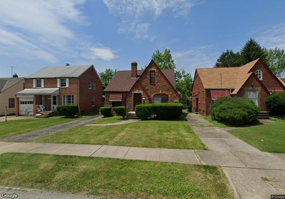
5146 Philip Ave Maple Heights, OH 44137
Estimated Value: $122,192 - $177,000
3
Beds
1
Bath
1,464
Sq Ft
$97/Sq Ft
Est. Value
About This Home
This home is located at 5146 Philip Ave, Maple Heights, OH 44137 and is currently estimated at $141,548, approximately $96 per square foot. 5146 Philip Ave is a home located in Cuyahoga County with nearby schools including Abraham Lincoln Elementary School, Rockside/ J.F. Kennedy School, and Italy High School.
Ownership History
Date
Name
Owned For
Owner Type
Purchase Details
Closed on
Oct 1, 2003
Sold by
Ross Keith and Ross Santha
Bought by
Parker Kelly C
Current Estimated Value
Home Financials for this Owner
Home Financials are based on the most recent Mortgage that was taken out on this home.
Original Mortgage
$87,200
Outstanding Balance
$41,222
Interest Rate
6.4%
Mortgage Type
Purchase Money Mortgage
Estimated Equity
$100,326
Purchase Details
Closed on
Mar 17, 1992
Sold by
Smith Marcella M
Bought by
Ross Keith
Purchase Details
Closed on
Sep 9, 1986
Sold by
Ochterski Frank L and Ochterski Maxine E
Bought by
Smith William D
Purchase Details
Closed on
Jan 1, 1975
Bought by
Ochterski Frank L and Ochterski Maxine E
Create a Home Valuation Report for This Property
The Home Valuation Report is an in-depth analysis detailing your home's value as well as a comparison with similar homes in the area
Home Values in the Area
Average Home Value in this Area
Purchase History
| Date | Buyer | Sale Price | Title Company |
|---|---|---|---|
| Parker Kelly C | $109,000 | Multiple | |
| Ross Keith | $70,200 | -- | |
| Smith William D | $55,000 | -- | |
| Ochterski Frank L | -- | -- |
Source: Public Records
Mortgage History
| Date | Status | Borrower | Loan Amount |
|---|---|---|---|
| Open | Parker Kelly C | $87,200 | |
| Closed | Parker Kelly C | $21,800 |
Source: Public Records
Tax History Compared to Growth
Tax History
| Year | Tax Paid | Tax Assessment Tax Assessment Total Assessment is a certain percentage of the fair market value that is determined by local assessors to be the total taxable value of land and additions on the property. | Land | Improvement |
|---|---|---|---|---|
| 2024 | $2,913 | $31,850 | $7,140 | $24,710 |
| 2023 | $2,470 | $22,720 | $4,340 | $18,380 |
| 2022 | $2,472 | $23,420 | $4,340 | $19,080 |
| 2021 | $2,636 | $23,420 | $4,340 | $19,080 |
| 2020 | $2,250 | $17,750 | $3,290 | $14,460 |
| 2019 | $3,293 | $50,700 | $9,400 | $41,300 |
| 2018 | $2,227 | $17,750 | $3,290 | $14,460 |
| 2017 | $2,091 | $16,100 | $3,010 | $13,090 |
| 2016 | $2,023 | $16,100 | $3,010 | $13,090 |
| 2015 | $2,024 | $16,100 | $3,010 | $13,090 |
| 2014 | $2,024 | $17,680 | $3,330 | $14,350 |
Source: Public Records
Map
Nearby Homes
- 5110 Philip Ave
- 5082 Philip Ave
- 5061 Philip Ave
- 5185 Clement Ave
- 5231 Philip Ave
- 5208 Clement Ave
- 5031 Cato St
- 5212 Catherine St
- 5257 Philip Ave
- 5199 Arch St
- 5239 Arch St
- 5210 Theodore St
- 5320 Clement Ave
- 5234 Erwin St
- 16712 Kollin Ave
- 17916 North Blvd
- 17912 North Blvd
- 17204 Maple Heights Blvd
- 16241 Glenburn Ave
- 5247 Henry St
- 5142 Philip Ave
- 5150 Philip Ave
- 5138 Philip Ave
- 5154 Philip Ave
- 5136 Philip Ave
- 5158 Philip Ave
- 5137 Catherine St
- 5133 Catherine St
- 5141 Catherine St
- 5129 Catherine St
- 5130 Philip Ave
- 5162 Philip Ave
- 5145 Catherine St
- 5147 Philip Ave
- 5143 Philip Ave
- 5151 Philip Ave
- 5125 Catherine St
- 5126 Philip Ave
- 5166 Philip Ave
- 5139 Philip Ave